AI
Drones in Precision Agriculture
Drones in Precision Agriculture
As the development of programming and artificial intelligence expands their applications, so do the means to replace tasks traditionally undertaken manually. Drones for example, programmed intelligently, can save a farmer the repetitive and cumbersome task of examining each plant or tree individually and using the same techniques to optimize growth; a farmer can sit back and research the means of optimizing agriculture, while the drones do the heavy lifting.
What is Precision Agriculture?
Precision Agriculture is a means of farming and agriculture management based on observing, measuring and responding to crop conditions continuously. Precision agriculture refers to the way farmers manage crops to ensure efficiency of inputs such as water and fertilizer, and to maximize productivity, quality, and yield. The term also involves minimizing pests, unwanted flooding, and disease.
A key component of this farm management approach is the use of Information Technology and a wide array of items such as GPS guidance, control systems, sensors, robotics, drones, autonomous vehicles, variable rate technology, GPS-based soil sampling, automated hardware, telematics, and software.
Where do drones come in?
While precision agriculture is the brain of the farmer, a drone can be the body of the farmer. Drones are used to observe crops, their texture, growth, condition of the pests, condition of the flower etc. They process this observed data using programs based around precision agriculture and on the basis of the analysis done by the programs, the drones carry out tasks or respond to the crops so as to optimize growth.
But why drones? Why not a programmed tractor or a humanoid robot?
Well, the exclusive aerial features of drones make the application of precision agriculture very effective. Let us examine how precision agriculture works with drones.
CTA / Twitter
How does it work?
The application of precision agriculture is simple, take input, process it, automatically pick the best response. Drones, however, have a very high mobility and enough space to carry micro-controllers that are programmed as per precision agriculture; making drones exclusively efficient for farm management. The following processes are the said exclusive features of drones:
- Mapping:
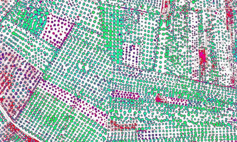
Mapping or surveying is the drone’s operation of observation. With new drone models, the farmer only needs to draw around the area they need to cover as drones are equipped with flight planning software’s allowing them to follow an automated flight path, the path can also be decided autonomously by the drone should it utilize Artificial Intelligence. The drone automatically takes pictures using onboard sensors and the built-in camera, and uses GPS to determine when to take each shot.
Mapping utilizes programming techniques such as image tracking and image acquisition, the same techniques used in facial recognition programs and robots; as the program becomes more sophisticated, whether by the use of AI or manually, the drone gets smarter and thinks more and more like a farmer as it is better able to identify diseases in crops and decide the optimal responses, explained below in Crop-dusting.
- Crop-dusting:
Crop-dusting is the cumbersome, boring job of a farmer that can be taken over by drones to save time, resources and health. Drones can carry tanks of fertilizers and pesticides in order to spray crops with far more precision than a tractor. This helps reduce costs and potential pesticide exposure to workers who would have needed to spray those crops manually.
Mapping and crop-dusting, combined, make drones very smart and active farmers since they can analyze crops with precision and respond appropriately.
What are the requirements for setup?
Well, what do we need to make use of precision agriculture and integrate it with drone technology?
- Farming expertise:
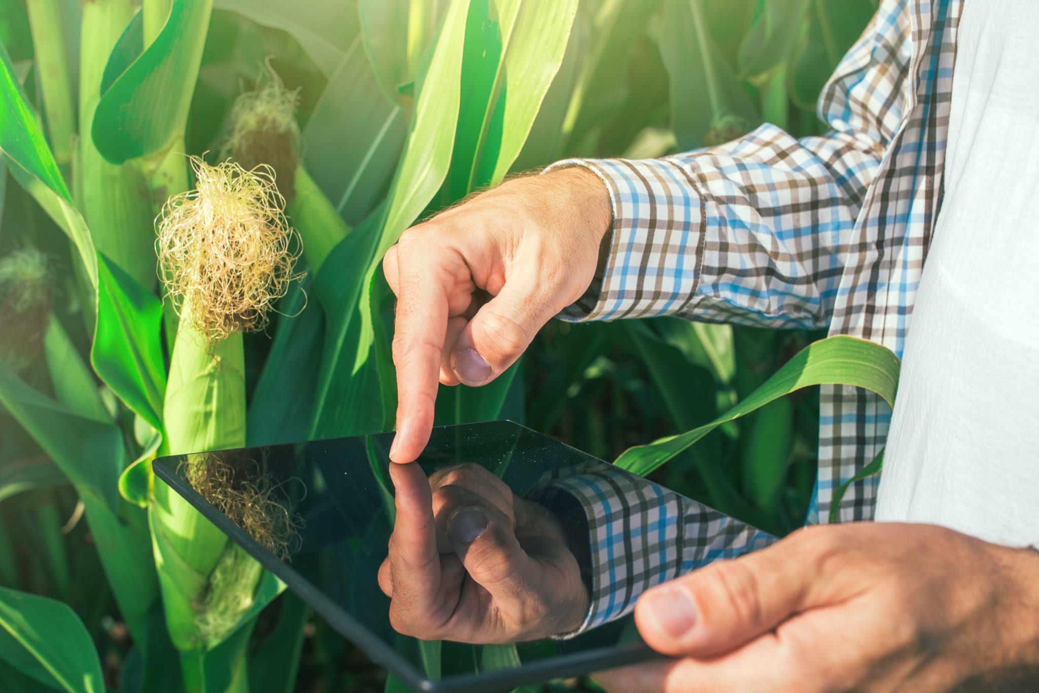
The primary requirement for precision agriculture to work is the requirement of farming expertise that should form the basis of the programming of the drones using which they learn the criteria for identifying problems and studying crops.
- Programming expertise:
By precise commands, including trial-and-error machine learning, or artificial intelligence, drones are to be programmed to work like farmers. They are supposed to observe and respond appropriately.
- Drone equipment:
The drone itself is, of course, a vital requirement. But the equipment installed in the drone can make a lot of difference in its effectiveness in terms of application of precision agriculture. Sophisticated cameras or thermal imaging sensors can help identify pests and diseases more efficiently whilst bigger, usually more expensive micro-controllers can improve the processing speed as well as data carrying capacity of a drone.
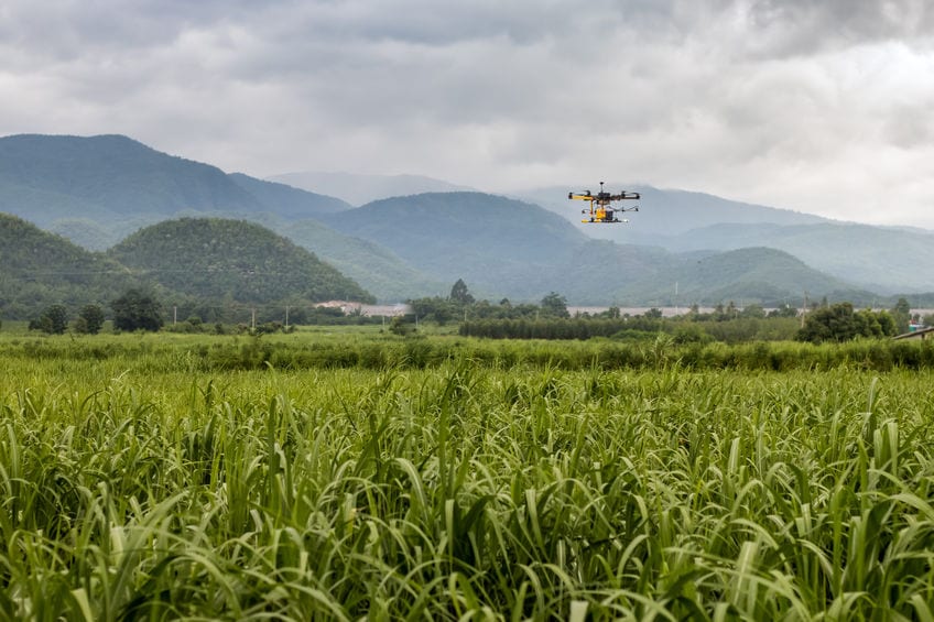
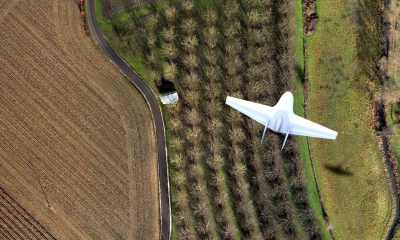
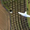
An agricultural drone flies above a farm field
What are the benefits?
Integrating drone technology with precision agriculture opens up a lot of possibilities that are beneficial with the present state of technology, both accessible and convenient and state-of-the-art; but a significant appeal is that drone technology improves in functionality with sophistication in Information Technology, which rises with a steep curve.
Following are some of the applications that make integration of drone technology with precision agriculture very effective:
- Irrigation Equipment Monitoring:
Managing multiple irrigation points at the same time is inconvenient and cumbersome, especially for farmers that have many fields spread out across a county or region. Once crops like corn begin reaching certain heights, mid-season inspections of the nozzles and sprinklers on irrigation equipment that deliver water can be simplified and carried out very effectively with drones.
- Weed Identification among crops:
A weed map can be plotted by drones using the data obtained from their sensors, so farmers can easily differentiate areas of high-intensity weed proliferation from the healthy crops growing right alongside them, improving quality of crops.
- Variable-Rate Fertility:
Agribotix, a CO-based agrictulture drone service startup, has used NDVI maps to direct in-season fertilizer applications on corn and other crops. By using drone-generated, variable-rate application maps to determine the strength of nutrient uptake within a single field, the farmers can apply 60 pounds of fertilizer to the struggling areas, 50 pounds to the medium areas, and 40 pounds to the healthy areas, decreasing fertilizer costs and boosting yields.
- Health Assessment:
Drones can identify bacteria, fungus or diseases based on Infra-red radiation commonly transmitted from sensors, thermal imagery, image acquisition or image tracking and several other means, preventing disease from spreading to other crops. With multispectral images, drones can detect diseases before they are detected with a human eye.
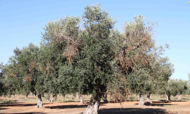
An olive tree affected by Xylella fastidiosa, with visual symptoms of chlorosis and defoliation | Juan A. Navas-Cortes
What are the limitations?
While it may be optimistic to think that “sky is the limit,” the drone technology’s integration with precision agriculture does have some limitations, both exclusive to drone technology as well as to precision agriculture as well as to their integrated systems.
- Security concerns and federal laws:
A problem often raised against drones is their potential misuse for privacy sabotage, smuggling items and terrorist activities; which is why federal laws, varying across countries and states, regulate the usage of drones.
In the US, the Federal Aviation Authority regulations require all drone owners who own aircraft weighing between 0.55 pounds and 55 pounds to register online before flying.
- High principal cost:
The investment needed to update conventional farm equipment to drone based precision agriculture might be a problem in terms of investment as the farmers may not be able to invest sufficient amounts for decent setup and the payback period might get too large.
- Accuracy weigh out:
While farming expertise may be readily available, programming expertise and sophistication of sensors and equipment installed on the drones might take a lot of resources to get up to the mark. A farmer’s analysis of the crops and takes a lot of precision with the sensors used in a drone in order for it to be accurate.
Case examples
Different companies and setups are already using drone technology for precision agriculture in varying capacities. Let us have a look at what they’re doing:
- AgEagle:
AgEagle proved, practically, that usage of drones in the agriculture department can actually save resources as they were able to reduce pesticide usage by 50% simply by increasing the precision of the pesticides sprayed, requiring less amount for the same, or even better results and effectiveness. This increases the profit earned by farmers as well as contributing to the environment.
- CSIC Córdoba:
Xylella fastidiosa is one of the most dangerous plant pathogens; affecting over 350 plant species. It is capable of virally transferring from one specie to another. A study published in the journal Nature Plants with the collaboration of the Institute of Sustainable Agriculture of the CSIC in Cordoba proposes means of using a drone to detect the pathogen before it affects the plant.
“Our study found that the effects of the bacterial infection can be remotely detected before any visible symptoms appear, allowing for rapid and accurate mapping of Xylella-infected olive trees across target orchards,” said Professor Peter North, from the Department of Geography at Swansea University.
The early diagnosis of this particular pathogen is simply a small demonstration of the possibilities opened up by precision agriculture.
- DroneDeploy’s Mapping:
We previously discussed mapping as a drone network’s means of data acquisition. DroneDeploy, a drone software platform with the largest drone data repository in the world, released its 2018 annual Commercial Drone Industry Trends Report. The report quantifies the impact of aerial insights across several industries and cements DroneDeploy as the industry leader in drone software. As the most extensive drone data repository and software platform in the world, DroneDeploy’s ecosystem enables customers across 400,000 job sites to map 30 million acres, reap up to 20x time savings, and improve workflows over the last year. This excelling mapping technology with drones effectively improving Agricultural Year over year performance up to 172%.
A final word
We know now, that precision agriculture, applied with drones, is a very efficient agriculture management method in theory. But just like every modern technology, it needs sophistication and advancement in terms of its practical application in order to be feasible for commercial use. This advancement is a natural result of usage, like every other technology. Concluding that using drone technology in the agricultural department is a worthy and productive investment.