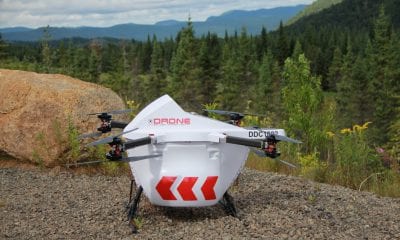
Drone Hive
Drones and Mining
Drones and Mining
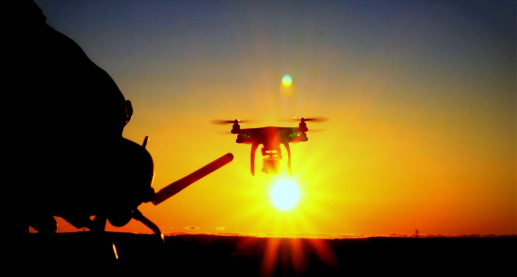
Drones or Unmanned Aerial Vehicles (UAVs) have become a critical component of scientific research. Whether over air or water, on land or under water, the versatility and utility of drones have come to the fore in recent times. Drones are in the process of changing the way many industries function.
Mining is one area where drones are now establishing themselves as an integral part of the overall operations. In a series of articles over the next few days, we will take a closer look at how drones are changing the face of modern day mining.
Initially, drones were primarily used for surveying. The mining industry has now found far more uses for these unmanned aerial vehicles. Some of the broader aspects of mining where drones are increasingly making a difference are:
- Planning (pit management, designing, monitoring and mapping)
- Drill & blast (designing, data collection and interpretation)
- Geology (stock pile management, grade control & exploration planning)
- Hydrology (drainage, water mapping and management)
- Construction (feasibility studies, monitoring & reporting)
- Mineral exploration (photography, resource calculation, area modeling)
- Environmental management
The Drone Advantage
A drone with the right camera and instruments can click pictures, collect and transmit superior data faster and accurately. This has made a significant difference in overall surveying work. Some clearly visible advantages are:
- Surveying projects now take a few hours, instead of days or weeks earlier, as no downtime is required for surveyors to move around a pit
- The ability to collect accurate spatial data from above has reduced the time staffs spend on site, improving overall productivity as well as safety levels
- Lesser man hours and improved data collection result in significant lowering of costs
- Frequent data collection allows for improved analysis
- Time saved is time gained; surveyors can spend more time analysing the data than collecting it
- Areas previously considered too dangerous to survey are now easily covered using drones
- An investment into an imaging drone costing similar to a GPS rover can be recovered in a few months
So, what exactly do these drones do?
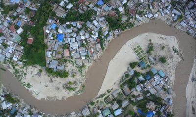
Mining Survey
Until recently, surveying mining properties required a surveyor to physically travel across the whole mining property, gathering data using a GPS device and survey equipments. This is being replaced by drones, which can cover large areas of land in a fraction of time, saving both time and cost, not to mention the humongous effort on part of the surveyor to cover the whole mining area surface.
The drones collect survey data using GPS. There are control points on the ground used as markers. The drones provide data on exposed surfaces across pits, stockpiles and quarries. They can also track stock piles, optimize storage and ensure the delivery of the right kind of ores to the mills. The pictures taken by drones can be further processed to provide a 3D model of the surveyed area, allowing better estimation of ore quantity and subsequent changes. The digital maps even account for earth’s curvature to determine distances more accurately.
The alternative, a Light Detection and Ranging (LiDAR) scanner can cost up to 9 times that of a similarly capable drone and take much longer to complete a survey of a mining area. The scanning process also introduces an inherent possibility for human error. The LiDAR scanner has its advantages. It is able to collect data in an area with thick brush cover, while an UAV can only access areas with no ground cover. Also, for surveys of vast mine areas, operators make use of satellite imagery.
Conclusion
With constant innovation, drones and associated technology has become cheaper, while data collection techniques are now quicker and more accurate. Mining remains some way behind other sectors in implementing the latest technologies. This could change in the coming days, as the benefits of drones seem to override lingering concerns over their efficiency and cost effectiveness.
In our next article, we will take a more in depth look into the world of mining surveys and drones.
References:
- https://www.sensefly.com/applications/mining.html
- http://barrickbeyondborders.com/mining/2014/10/the-skys-the-limit/#.VDU7A_mSx8E
- http://www.westcoastplacer.com/uav-applications-in-mining/