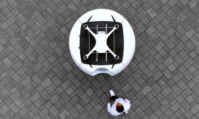
Drone Hive
Drones and Geomatics
The exciting new technology known as unmanned aerial vehicles (UAVs) or drones is on the verge of massive adoption. Drones are not anymore a privilege – they are a common need for many industries and many specific use cases.
One of them is geomatics, best described as the branch of science that deals with the collection, analysis and interpretation of data relating to the earth’s surface. This discipline gathers, stores, processes and delivers geographic information or spatially referenced information.
So, how are drones linked to geomatics – and how fast can we see further developments in both technologies?
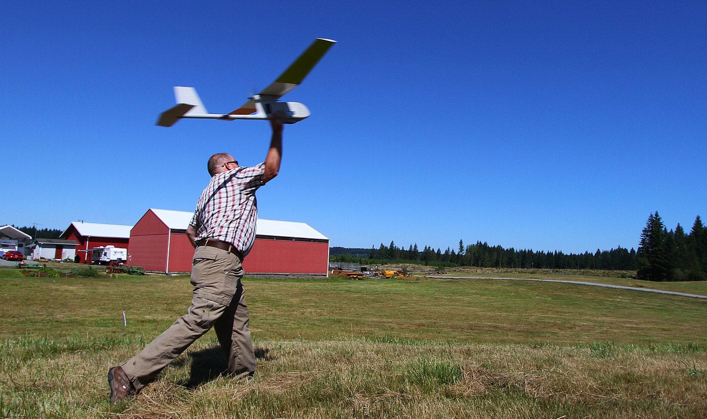
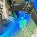
A UAV being set aflight by a member of the USGS drone team, based in Colorado. The USGS was established in 2008 and has been flying a variety of UAVs ever since for purposes such as abandoned mine mapping | Wikicommons
How Does It Work: Explaining The Use Case Of Drones In Geomatics
Commercial drones have already revolutionized the way cities work – and the way companies collect and gather data. According to the US Federal Aviation Administration (FAA), the overall drone sales will reach 7 million units annually by 2020.
The drone surveying applications, on the other hand, will also play a vital role in that business. If deployed safely and responsibly, these unmanned vehicles can go just about anywhere and fill an important niche where the manned aircraft or ground survey crews are not optimal.
While the goal in the beginning was to try and focus on smaller unmanned systems with the best possible sensors, the drone technology has scaled and became much more sophisticated. There is an entire field of people working on this technology – and even more people benefiting from it.
The applications of drones in geomatics include but are not limited to:
- Small and medium site mapping
- Volumetric measurements and inspections
- Damage assessment
- Construction site monitoring
In other words, drones are just another tool that revolutionizes the entire geomatics industry – at a better cost and in a quicker time frame.
The importance of saving time is more than massive in cases like these. In geomatics, saving time means saving money. The longer it takes for the data to be collected, the more costly a project is. Thanks to drones, professionals can collect more data than anytime before – in a safer and more efficient way that guarantees immediate return on investment.
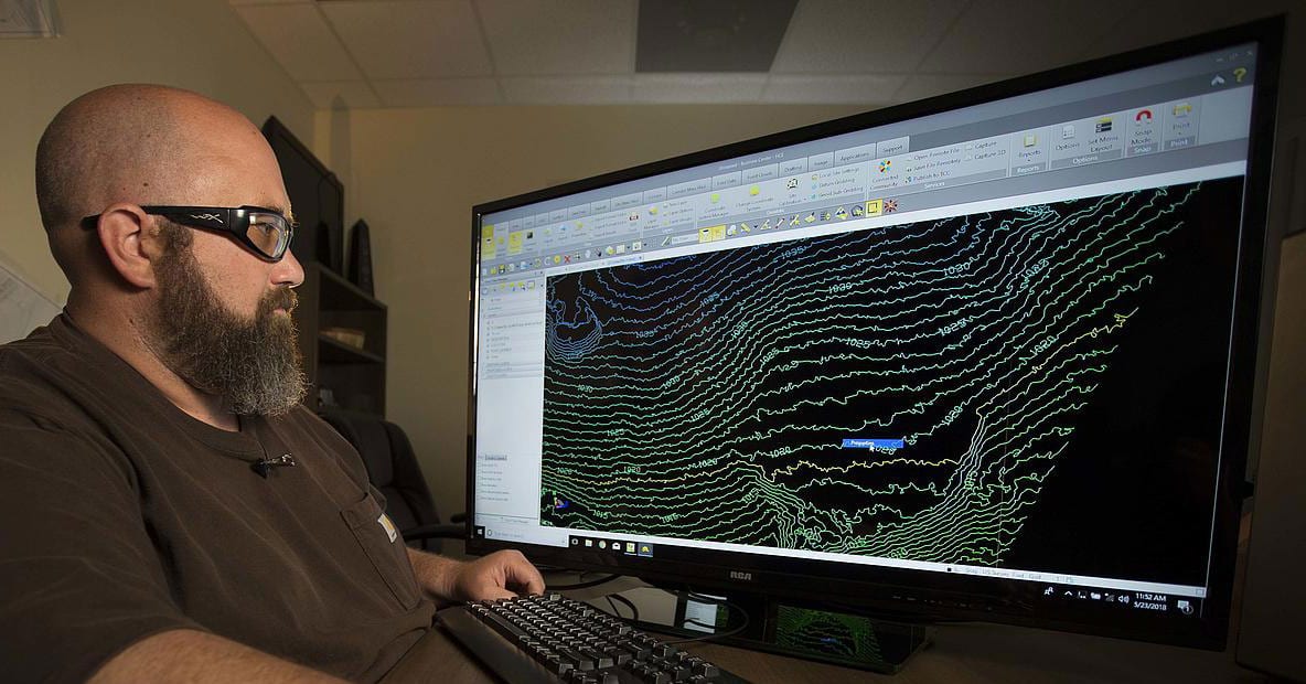
An engineer reviews a topographical map captured by a drone equipped with geomatics equipment | Microdrones
The Needed Requirements & Possible Limitations
We all know the benefits of drones nowadays for a certain scope of industries and purposes. However, what are the needed requirements for an industry like geomatics?
First of all, it is important to see that the drone itself does not produce accurate maps. Instead, it is a platform of essence that uses four different factors that are intricately connected and contribute to an accurate drone survey together. They include the following:
- A Drone – The purpose of the drone in geomatics is to safely, reliable and accurately position the camera and fly within the designated plan, maintaining the orientation of the camera while making most of the external factors such as wind.
- A Camera – The quality of the drone camera is essential in geomatics. From its sensor to its lens, everything is critical to the production of high accuracy maps – which is what the industry benefits most from. Therefore, very wide angle lenses are utilized in order to restrict the image footprint and increase the time required to map a given area.
- The Surveyor – The skill of a professional geomatics surveyor is another important piece of the puzzle. The ability to design the ground control network is crucial here – and checkpoints should be positioned as far from control points as possible yet remain within the project boundary.
- The Pilot – The person piloting the drone may or may not be the same person as the surveyor, but is critical as they must be aware of all relevant Civil Aviation Authority (CAA) legislation as a set of rules governing the use of the drone.
When it comes to the actual limitations and challenges in surveying and mapping, drones are mainly concerned by the redundancy in propulsion, onboard navigation systems, batteries and communication systems etc. The cameras, on the other hand, are quite different. While some are best suited to land survey, others are most suited to inspection work and video.
Aside from technology, the skills of people doing the surveying and piloting work are also essential. They must be properly trained, certified and licensed to operate with the drones and collect data from them accordingly.
Drones And Geomatics: Use Cases
The affordability of drones makes them usable in a lot of industries. In geomatics, a large number of drone service providers have innovated the marketplace and are offering survey and mapping services.
Below are three use case examples of drones in geomatics:
- Microdrones – This is a fully integrated unmanned aerial LIDAR system which is proud to offer professionals a fully-integrated scenario with a LiDAR package that includes a drone, software, workflow, training and support. As such, Microdrones is used by more than 1000 businesses worldwide.
- SenseFly – The survey instruments by SenseFly have the potential to help any business expand its services into brand new fields. From land surveying to mapping, these drone packages are designed to deliver precise data and update land cover as well as single object layers.
- Delair – Another supplier of commercial drone solutions that has pioneered the industry with an innovative combination of hardware and software that provides highly accurate images for survey-grade mapping with features such as on-board processing capabilities and real-time and long-range control.
-

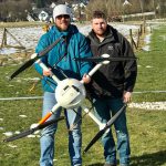
- Pictured Left to right, Henno Morkel, UAS Segment Specialist for OPTRON and Kevin Holighaus – Training Pilot for Microdrones, during training on multiple payloads and Microdrones UAV systems in Siegen, Germany | Microdrones
-
- Delair UAV technology
-
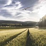
- Sensefly’s Ebee can be used to gather geospatial information
A Final Word
In the end, drones are the perfect scenario for an industry like geomatics. When put in the right hands, they can handle any job under safe, efficient and rapid circumstances. As such, they are the best alternative to traditional ground-based surveys.
However, anyone who is interested to leverage the potential of drones in geomatics should have confidence in its skills, equipments and possible limitations.