![Plum Island Estuary, MA, UAS imagery. Yellow dots: Marsh scarp from MEED, red line: Unvegetated/vegetated line from MEIP, green line: Digitized edge of vegetation. The challenge in determining the location of shoreline with the heads-up digitization can be seen in the lower half of the image where the operator selected a somewhat subjective marsh shoreline, MEED method identified the maximum slope, and MEIP method identified a location somewhere between the two.](https://dronebelow.com/wp-content/uploads/2019/08/remotesensing-11-01795-g009.jpg)
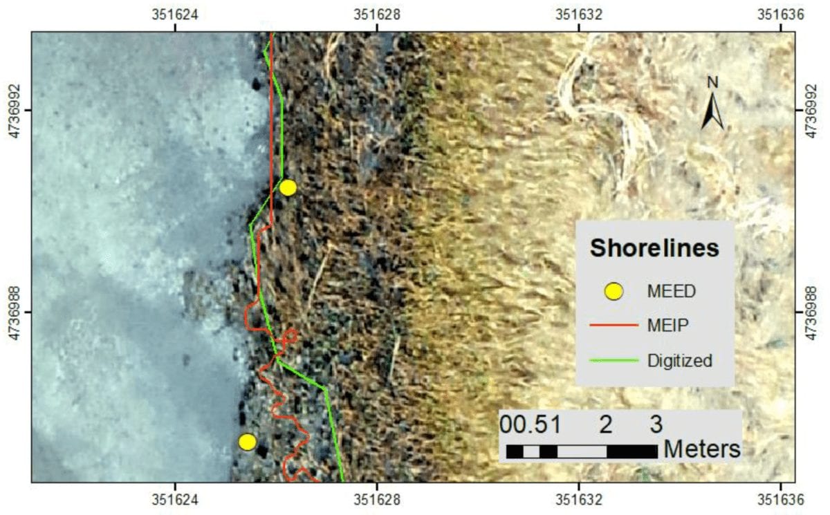
Using Drones to Monitor Salt Marsh Shorelines
August 2, 2019
![](https://dronebelow.com/wp-content/uploads/2019/07/55632815_652766711823959_1576035874150285312_o-400x240.jpg)
Using Drones and Sirens to Protect Rhinos from Poaching
July 19, 2019
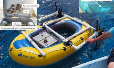
Low-Cost Autonomous Rubber Dinghy for Mapping and Monitoring Coral Reefs
April 24, 2019Researchers are now exploring the use of recent advances in open source Global Positioning System (GPS)-guided...
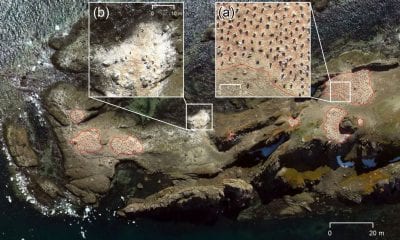
Drones Used to Map Antarctic Penguins
April 24, 2019A team of researchers undertook an unmanned aerial vehicle (UAV) survey with the aim of ascertaining...