News
Study Shows Drones Could Help Avert Water Crises
Study Shows Drones Could Help Avert Water Crises
As climate change and growing populations – particularly in densely populated areas such as cities – impact water quality, it is increasingly imperative that the measurement and monitoring of water is carried out efficiently and effectively. Recent events such as the water crisis in Capetown, South Africa, where residents are drastically reducing their water usage in an attempt to delay “Day Zero”, is an example of trends that could be avoided with better water monitoring methods.
The APPS Forum (Asia & The Pacific Policy Society) noted last week, in reference to the Capetown crisis that, “the number of water quality parameters that need to be monitored to keep people safe has increased over time.” Water management is an expensive process, and one that has not been carried out effectively in countries with limited resources.
Now, two researchers from Utah State University have demonstrated that the accuracy of river discharge data gleaned from aerial imagery collected by drones is equal to more expensive, traditional methods in certain cases.
Tyler King and Bethany Neilson’s study, published Feb. 7 in Water Resources Research, assert that new methods are required in order to meet the growing needs for water globally, particularly to mitigate negative climate effects such as flood and drought.
“We are headed into uncharted territory as climate change alters water supply and population growth increases demand,” said Tyler King, a PhD candidate and co-author of the study. “In the face of these challenges, scientists, engineers and managers around the world are asked to perform the increasingly difficult task of managing water resources with less and less information.”
Current sensing methods include on-site measurement at gauging stations and low-fidelity data collected by satellites. There are limited numbers of the former, and due to their relative maintenance expenses are by and large situated on significant rivers that carry economic and social importance. Satellites, though not limited by physical location, also have a focus on larger river systems due to the coarser detail of the data collected. Thus, there is a limited understanding of the impact of poor water quality in smaller river basins.
Using high quality aerial imaging data collected drones, King and Neilson intend to improve the assessment of smaller rivers and streams, complementing data collected from larger river systems by traditional gauging stations and satellites.
USU researchers published a study that shows how high resolution aerial imagery can be used to estimate flows along smaller rivers and streams | USU
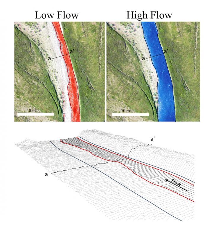
By combining certain image processing techniques and hydraulic modeling to limit the broad range of data available, they have demonstrated they can estimate river discharge. Overlapped aerial images are used to create 3D digital elevation models of the river channels, which are then used within a hydraulic model to approximate the relationship between river discharge and river width. Once these models are built, any following observations of river width — including satellite imagery, aerial imagery or ground observations — can be used to estimate river discharge.
“Remote sensing methods like these can significantly improve our ability to understand hydrologic responses to a changing climate in small, ungauged watersheds around the world,” said Neilson, an associate professor at USU and co-author of the study.
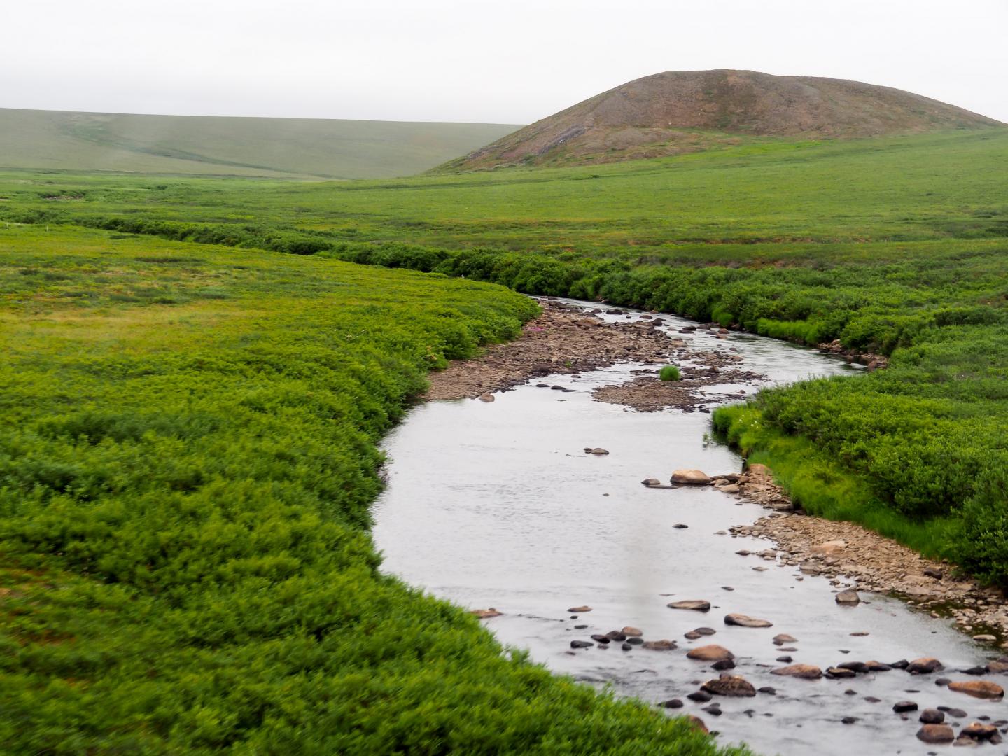
It was found that the method was best deployed in areas that satisfied three basic requirements: in rivers characterised by low river flow, often with substantial portions of exposed river bed, those with an easily observable river edge (i.e., no overhanging trees and other foliage), and clear geomorphic features. While using drones to monitor water quality is not new, these requirements mean the method is ideal for Arctic, Antarctic, alpine, and desert regions as well as seasonal streams. Along with a reduction in water monitoring expense, it would seem then that drones could be of assistance in the ongoing mitigation of water crises in drought and dry desert regions such as Africa.


