Raytheon Key Partner in Development of Most Advanced Drone-Testing Airspace Corridor in USA
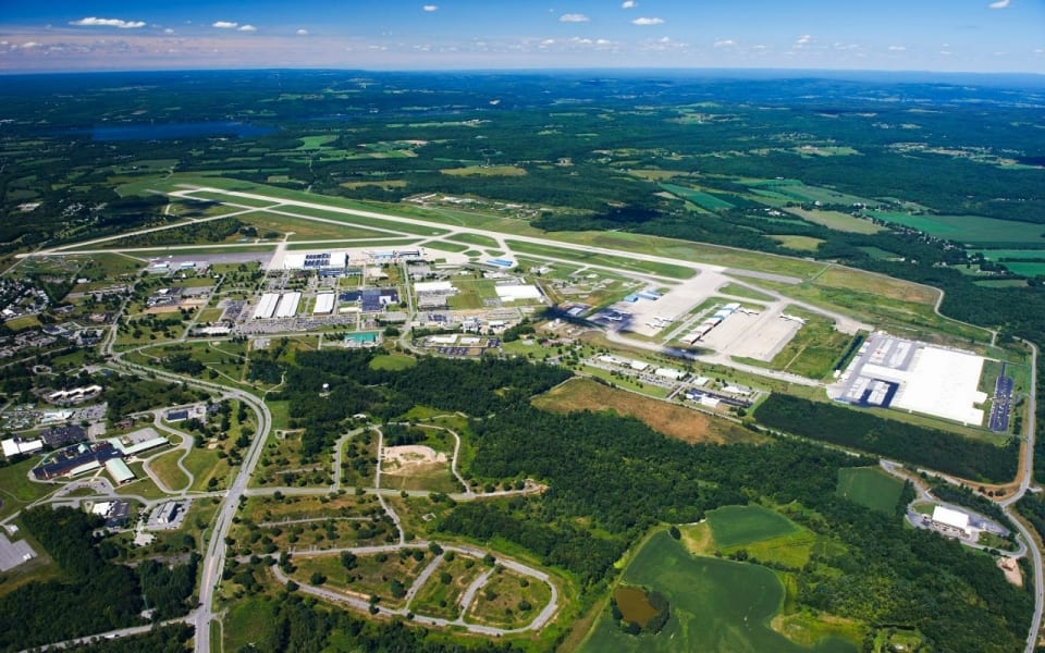
![]() The Northeast UAS Airspace Integration Research Alliance selected Raytheon as a key partner in the development of America’s first and most advanced unmanned aircraft system-testing airspace corridor in New York state. Raytheon’s Intelligence, Information and Services business will help plan, design, build and support the state’s next-generation air traffic management system to safely test and manage drones.
The Northeast UAS Airspace Integration Research Alliance selected Raytheon as a key partner in the development of America’s first and most advanced unmanned aircraft system-testing airspace corridor in New York state. Raytheon’s Intelligence, Information and Services business will help plan, design, build and support the state’s next-generation air traffic management system to safely test and manage drones.
“UASs are playing an increasingly important role in our society, which means we must have low-altitude air traffic management solutions,” said Matt Gilligan, vice president of Raytheon’s Navigation, Weather and Services mission area. “The New York airspace corridor is the first-of-its kind, but it won’t be the last.”
The new corridor will extend 50 miles (80 kilometers) west from Griffiss International Airport, which is one of only seven Federal Aviation Administration-approved unmanned aircraft systems test sites in America. It will allow companies to test both drones and air traffic management technologies in real-world settings, generating valuable data that will inform industry and regulators and ultimately advance the commercial use of drones.
“We have identified the most qualified organizations to complete the New York UTM corridor and expand our UAS testing capabilities,” said Maj. Gen. Marke F. “Hoot” Gibson (ret), NUAIR Alliance’s chief executive officer. “With all our state economic and technical support, I think we are well positioned to accelerate the UAS industry and further establish this region as a national leader.”
Raytheon’s leadership in air traffic management includes the low-power radar, a small, one-meter square Active Electronically Scanned Array, or AESA, software-defined radar unit. When numerous LPRs are networked together, the radar units can cover and control the low-altitude flights of smaller craft—a feat not possible with current large radar systems.
A distributed, low-level LPR network could be created with relative ease, mounting the system atop current cell phone towers or tall buildings.
A LPR network could support:
- Safe plane and drone landings
- Aviation surveillance
- Precision weather observations (including 3-D wind information and urban hydrology)
- Small drone detection and tracking
- Border security and surveillance
- Wildfire detection
- Elevation and geographic gap fills
To learn more about LPR and other Raytheon air traffic management solutions, visit here.


