Interviews
Interview: Using Drones to Enhance Plant Ecology Research
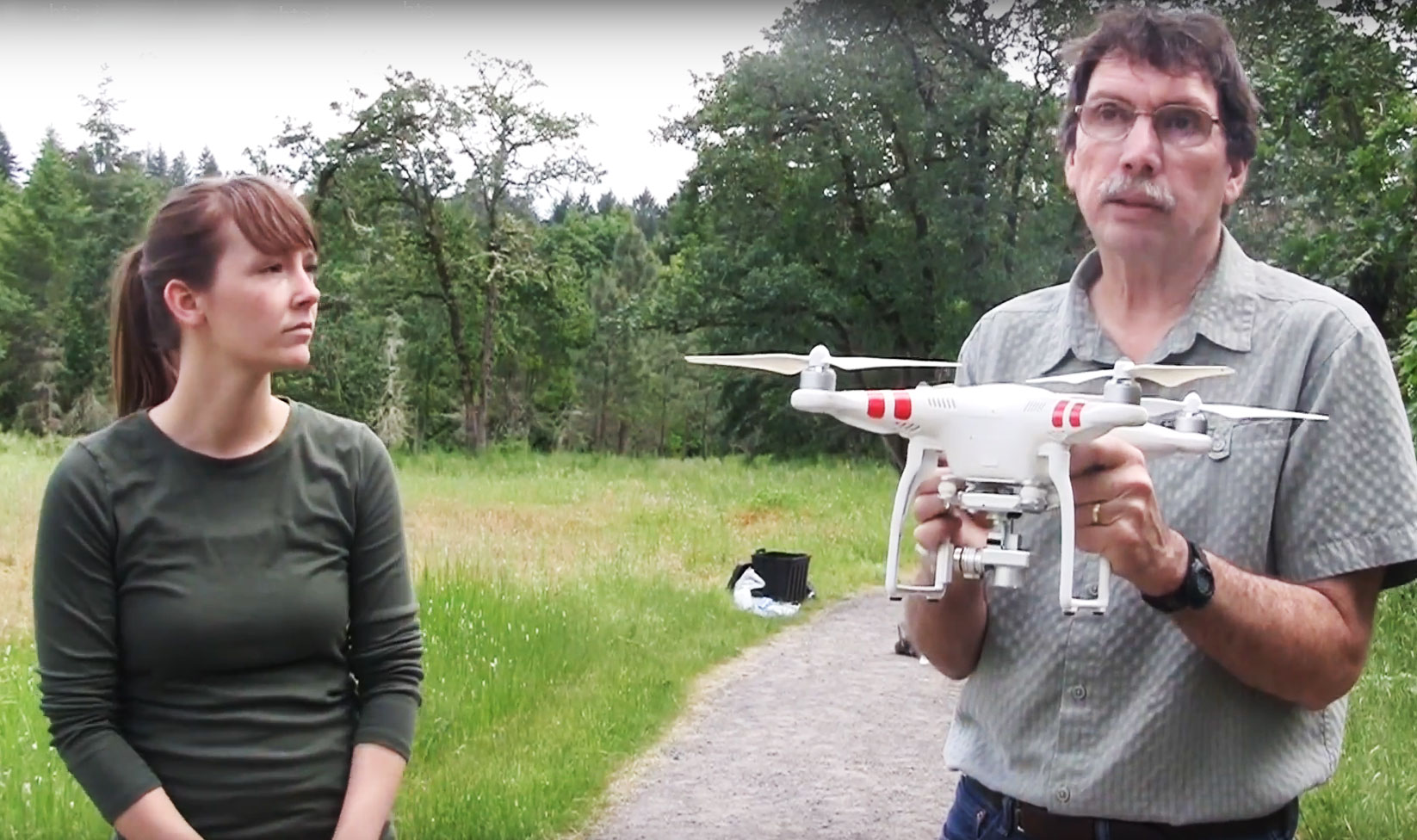
Counting flowers in a meadow one by one sounds like an idyllic way to spend the summer, but not for one researcher from Portland State University.
Biology professor Mitch Cruzan has instead turned to drone technology to speed up the process, and along with him some students from the College of Liberal Arts and Sciences.
Cruzan is a pioneer in the field of plant reproduction, having been one of the first researchers to introduce the use of UAVs in plant research into his lab in Portland, Oregon.
His use of UAVs in the field led him to write a paper guiding other researchers on how to use small aerial drones in low elevation surveys for applications such as plant ecology, including how to map a landscape with a UAV to avoid trampling sensitive ecosystems.
Now, he is taking his students into the field to show them the ins and outs of flying drones to enhance their research, at the same time as adding to their experience in taking research methods out of the classroom and into the field.
We managed to catch Cruzan to ask him a few questions about the impact drones have had on his research as well as the learning process of his students.
What drew you to UAVs as a method for improving research techniques?
For vegetation surveys the use of small aerial drones has several advantages: 1) we wanted an accurate vegetation map of the 16 hectare area. We could have done this by walking around and trying to define polygons using GPS, but that has several drawbacks. One is that it would be much less accurate, and the other is that it would have caused much more trampling of this sensitive area. For our survey, we were able to limit our impact to the center of the prairie as we flew transects 200 meters in each direction. We potentially could have used some satellite images for some of this work, but the phenological stage of plants is important for our work. In our case, we were mapping two species of flowering plants and using the contrast in flower color (white or yellow) with the background to estimate the density of plants across the prairie. With the drone we were able to make surveys at multiple times over the flowering season to get a better estimate of plant locations as some flower earlier and others later.
In writing your paper on drones in plant ecology, what were the main benefits and limitations of the UAV you chose to use?
The DJI Phantom series drones are pretty versatile for research applications. We chose the Vision Plus because we needed to have the camera mounted on a stabilized gimbal that could be pointed straight down. We also found the GPS location system to be fairly accurate so we were able to maintain straight line transects with photos at regular intervals. We did not appreciate the fact that it was not possible to program a flight within 12 km of an airport, so in our case we had to fly transects and take each photo manually. Flying the drone required two people – one to run the tablet for distance/photos, and the second to act as the pilot. US regulations required that we keep the drone within un-aided line-of-sight at all times. To do a complete survey required 2 mornings where we used 8 to 10 batteries each morning.
What challenges did your students face when flying the drone? How did they overcome these?
Our students learned basic flying techniques pretty quickly. The GPS stabilization system on these drones makes them very easy to fly. Holding a straight line transect and a steady position for photos was important for our surveys. The controller made it easy to fly in a straight line, and then back again. Landing is the biggest challenge – especially in natural areas where there is lots of tall grass and other vegetation to tangle with the propellers. We made sure to have a spare set of propellers because they were easily damaged during landing operations.
What additional data were your students able to gather that they could not have done on foot or with other traditional techniques?
The high density of photos we gathered allowed us to use software to stitch together a single high-resolution orthomosaic image of the entire prairie. The software also used the photos to construct a digital elevation model (DEM) of the site. This was useful for our analyses of seed and pollen dispersal as the hedges can create barriers.
Any other benefits to using the drone?
Well, the students enjoyed flying the drone at least at first. After several days of flying transects and taking hundreds of aerial photos it becomes more of a task. It added an interesting facet to our research to complement our other tools such as GIS, next-generation DNA sequencing, genomics, and bioinformatics.
How would you like to see UAV systems improved for better research results?
The two things that would be most useful for us would be to increase the flight time on a single battery and to improve the software for programming flights. It would be nice if selecting specific locations for each photo were possible rather than just telling it to fly slow and take a photo every few seconds. This may have been improved by now – I have not looked at the software available for a couple of years.