News
Drones Help Record Archaeology on Canna and Sanday Islands, Scotland
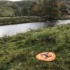
Drone technology has set another milestone in the discovery of archaeological sites. The task was conducting a detailed drone survey of the islands to precisely locate archaeological features in the Canna and Sanday Islands as a part of a conservation project set up by the charity National Trust for Scotland, which administers the islands.
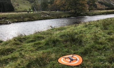
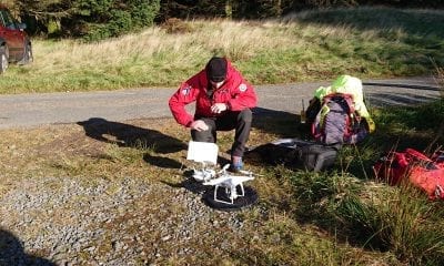
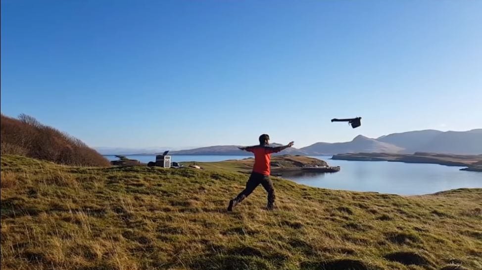
Jason Daley of Smithsonian.com reported that the Glasgow-based mapping firm GeoGeo was hired and over the course of five days; a state-of-the-art fixed wing drone flew a total of about 250 miles, collecting 4,000 ultra-high-resolution images and 420 million data points. The team then used a proprietary super computer to analyze the data, creating an incredibly detailed 3-D map of the connected islands.
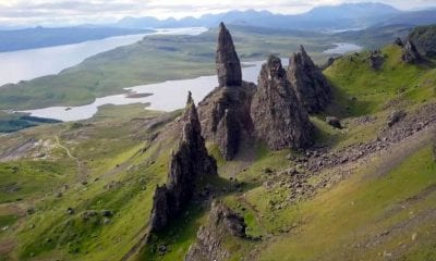
The Small Isles, a gorgeous archipelago of sparsely populated islands in Scotland’s Inner Hebrides, are protected as part of a National Scenic Area and are now a high-tech landmark. According to the BBC the islands of Canna and Sanday, separated by a tidal channel, are now the most minutely mapped islands in the world and the imaging has unlocked thousands of years of archaeology.
In a press release last November Paul Georgie, founder and lead geospatial technologist for GeoGeo was quoted saying “This not only shows detailed topography and vegetation at a game-changing three centimetres [1.18 inch] resolution but, with over 420 million data points, is currently the world’s largest complete island dataset captured by drone.”
Since then the drone generated maps have already revealed previously unseen remnants of “rig and furrow” agriculture dating back to the Bronze Age, on the islands. The data shows that at its peak in the 1800s, agriculture on the island could have supported up to 400 people.
The press release also contained remarks from Derek Aleaxander, head of archaeology at the National Trust for Scotland who said, “The detail is simply astounding – aerial surveys for archaeology have been around since the end of World War Two but this new technology takes everything into a completely new realm, being considerably more detailed, affordable and flexible.”
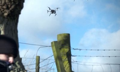
Currently only a handful of people reside on the islands and agriculture has given way to a colony of about 20,000 seabirds. The Trust worried about disturbing the bird population by the drone. In anticipation pilots were even ready for a barrel role in case of ambush by the golden eagles and white-tailed sea eagles in the area. Fortunately there were no bird-drone incidents. The data is now being used to update the archaeological inventory of the islands and to plan future digs in the area.
The recent years have witnessed a global surge by researchers in flying drones over cultural sites to gather perspectives and measurements that elude conventional digging techniques. In 2016, drone imagery discovered an unknown massive monument in the ancient city of Petra in southern Jordan. In 2018 drone photographers found the remnants of 4,500-year-old henges, or monumental circles, in agriculture fields in Ireland’s Boyne Valley and previously unseen geoglyphs near the Nazca Lines in Peru.