News
Kongsberg Geospatial IRIS UxS Fleet Control Station Integrated with MicroPilot Autopilots to Enhance BVLOS Capabilities
Kongsberg Geospatial IRIS UxS Fleet Control Station Integrated with MicroPilot Autopilots to Enhance BVLOS Capabilities
Kongsberg Geospatial, an Ottawa-based geospatial visualisation software company, and MicroPilot, world leader in professional UAV autopilots , announced today that the Kongsberg Geospatial IRIS UxS Fleet Control Station has been integrated with the MicroPilot MP2x28 series of autopilots to enhance the ability of UAV operators using MicroPilot autopilots to conduct safe BVLOS operations. The integration will be demonstrated at AUVSI XPONENTIAL booth #2619.
The Kongsberg Geospatial IRIS UxS Fleet Control Station technology enables multiple drones to be monitored and controlled simultaneously by a single operator and provides real-time calculation of aircraft separation, airspace monitoring alerts and communications line-of-sight prediction to enable detect and avoid for safe BVLOS operations. IRIS FCS integrates a variety of real-time data feeds including ADS-B, local radar and National Airspace Feeds to calculate “detect and avoid” warnings. IRIS prov¬¬ides real-time 2D and 3D visualization of airborne track and weather data, as well as geo-fencing capabilities.
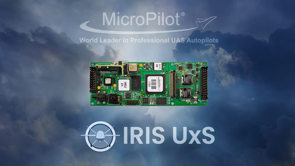
MicroPilot develops and manufactures high-reliability autopilots for fixed, rotary wing and hybrid UAVs, including the triple redundant MP21283X. In addition, MicroPilot produces a number of support products which enable customers to use their development time as efficiently as possible and bring their products to market faster. These products include the trueHWIL2, the highest fidelity UAV autopilot simulator available, and the XTENDERmp software development kit.
“Reliable, and innovative operator control solutions supported by real-time airspace visualization is key to expanding BVLOS operations safely and effectively. Our relationship with Kongsberg will allow MicroPilot to improve upon our already industry-leading autopilots,” said MicroPilot’s President, Howard Loewen.
“We’re very pleased to be working with a world-leading autopilot provider like MicroPilot” said Ranald McGillis, President of Kongsberg Geospatial. “Their expertise in miniature autopilots and their market leading position provides an excellent use case for our technology.”
Kongsberg Geospatial creates precision real-time software for mapping, geospatial visualization, and situational awareness. The Company’s products are primarily deployed in solutions for air-traffic control, Command and Control, and air defense. Over nearly three decades of providing dependable performance under extreme conditions, Kongsberg Geospatial has become the leading geospatial technology provider for mission-critical applications where lives are on the line. Kongsberg Geospatial is a subsidiary of Kongsberg Defence Systems.


