News
Into the Eye of the Storm with Drones
Atmospheric scientists have masses of information about the conditions that can whip up a tornado but researchers know that this isn’t the whole picture. Drone technology will soon provide these scientists an unprecedented view of the conditions that trigger some of the United States’ most devastating tornadoes.
Starting on 15 May, a fleet of up to four drones will help researchers to monitor super-cell thunderstorms. These rotating storms pummel the central United States with lightning, tennis ball-sized hail and damaging winds every spring and summer, and some, but not all, develop tornadoes.
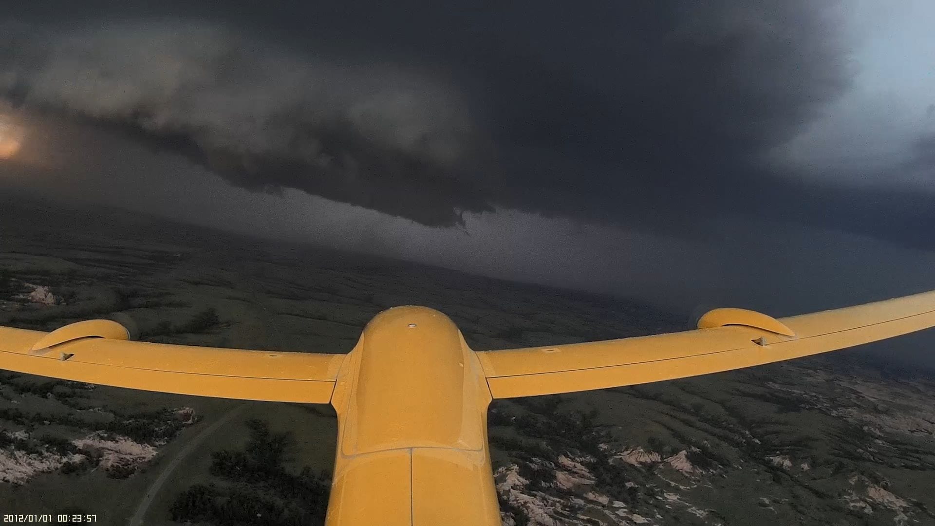
The project called Targeted Observation by Radars and Unmanned aircraft systems of Supercells (TORUS), using four drones flying up to nearly 800 metres into these storms to gather data simultaneously on the atmosphere will cost US$2.4-million. The National Science Foundation provided the bulk of the funding for the project.
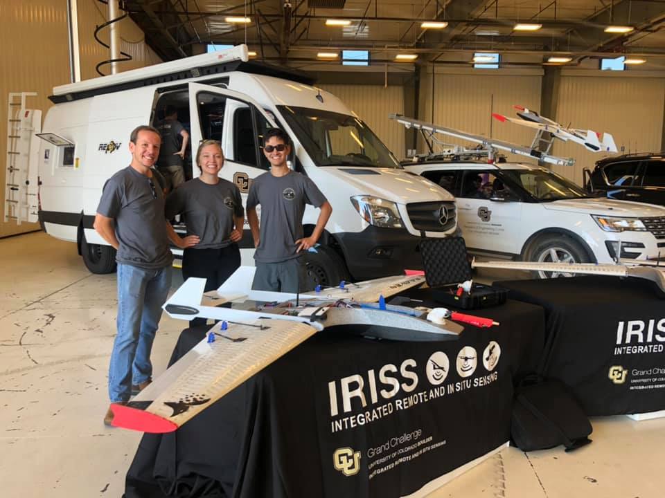
According to TORUS lead investigator Adam Houston, an atmospheric scientist at the University of Nebraska–Lincoln this will allow researchers to see multiple parts of the storm at the same time. Brian Argrow, an aerospace engineer at the University of Colorado Boulder, who leads TORUS’ drone team added, “We are attacking the storm from every angle to see what is going on.”
Scientists hope that the resulting information will help them to more accurately forecast which super cells will generate tornadoes. Current tornado warning systems have a high false-positive rate, says Christopher Weiss, an atmospheric scientist at Texas Tech University in Lubbock, who leads the TORUS mobile-radar team. “If you get over-warned, it’s a natural human reaction to heed those warnings less in the future.”
Stalking super-cells
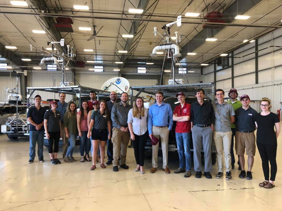
In order to chase after super cell thunderstorms that form in a 950,000-square-kilometre region stretching from North Dakota to Texas, and from Iowa to Wyoming and Colorado TORUS plans to deploy fifty researchers and students into about a dozen teams and use mobile radar systems, weather balloons and an aeroplane outfitted with meteorological sensors apart drones. Researchers will gather information on super cell conditions like- humidity, air pressure, temperature, and wind speed and direction from this array of instruments. These measurements will help identify smaller-scale structures in these thunderstorms that are thought to trigger tornadoes.
A hypothetical structure that Houston hopes to spot is a stream of cool air located near the ground that computer simulations indicate helps to drive tornado formation. This cool current speeds up the rate at which warm air is sucked into a super cell, which increases the chances that a tornado will form.
According to Leigh Orf, an atmospheric scientist at the University of Wisconsin–Madison who developed the simulation that predicts this cool air current TORUS is a “big first step toward looking the right way in the right part of the storm”, for these smaller structures.
Houston believes that depending on the success of these drones in helping researchers to better monitor super cells, the US National Weather Service might one day integrate the aircraft into their data-gathering and tornado-forecasting process.


