UAE Using Drones and AI to Map Desert Landscape
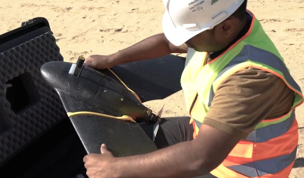
Drone technology is now assisting with census and mapping of wildlife and green cover in a unique UAE aerial drone project. The environment ministry of the Emirates is meticulously capturing the country’s desert environment to support future growth.
The aerial project to capture wildlife and trees across the Emirates has completed its first phase, giving a fascinating statistical insight into the country’s natural habitat. Every fruit tree and ghaf tree, water well and farm is being mapped to support future planning. This operation led by the environment ministry covered 550 sq km of agricultural lands across Dubai, Sharjah, Ajman, and Umm Al Quwain, providing “a wealth of raw information that is being analysed through leveraging AI technology”.
The data collected using drones has been very beneficial and has indicated the presence of 5,637 farms – 895 growing crops and 2,919 rearing animals. Detailed data shows that the crop farms comprise 35,535 fruit trees and 200,230 trees that serve as windbreakers. The survey also tracked the presence of 5,635 farm buildings – labour accommodation, barns, and warehouses, among others – 362 wells, and 3,447 protected farms – 2,635 of them use netting to protect their crops. Ghaf trees accounted for 73,344 of all trees on these farms.
An October to December schedule has been chalked out for phase two of the project and it will map agricultural areas in Fujairah and Ras Al Khaimah. The project will ensure crops, livestock, and mixed farms as well as cooled and regular greenhouses, soil type and condition, and crop diseases are accounted for. Dr Thani Al Zeyoudi, Minister of Climate Change and Environment, said the mission will “establish an accurate database of actionable statistical information to inform decision making and planning”, he said adding, “The move will help us optimise the allocation of natural resources and expand sustainable agriculture.”
Given that farming in the UAE is extremely water intensive and inefficient operations drain valuable sources like groundwater wells the data from drones is also being used by Officials to gain an accurate estimate of the volume of irrigation water used by agricultural holdings and plan ways to alleviate the pressure on groundwater through deploying sustainable irrigation.


