Drones Armed with Sensors Fly Through Guatemalan Volcanic Eruption
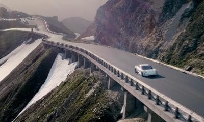
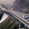
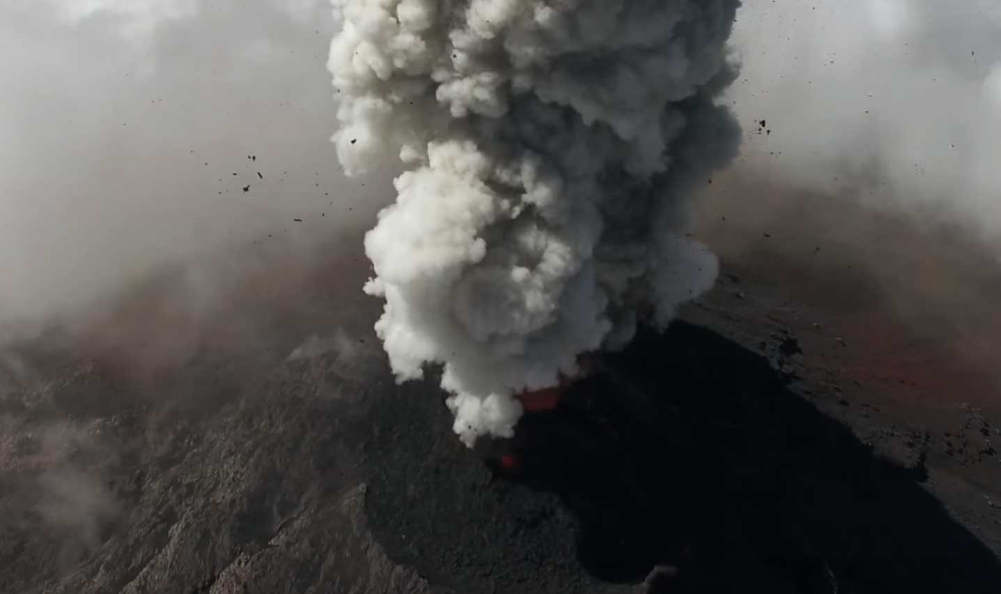
Drones can do more than just take aerial pictures, and after the recent explosion of Volcán de Fuego in Guatemala last month, Youtuber Jozef Stano flew his drone to see the eruption from a closer angle.
It’s not the first time Volcán de Fuego has been videoed by drone. In 2017, researchers took a UAV to investigate the volcano as it erupted.
Fuego is known for its almost constant activity at a low level, with the smoke escaping daily from its top. However, access to the summit is difficult to access – the volcano has a height of 3,363 meters – and the scientists were unable to collect accurate gas measurements.
Using drones equipped with a range of sensors, the researchers were able to collect data directly from the volcanic ash clouds.
“Drones offer an invaluable solution to the challenges of in-situ sampling and routine monitoring of volcanic emissions, particularly those where the near-vent region is prohibitively hazardous or inaccessible.
“These sensors not only help to understand emissions from volcanoes, they could also be used in the future to help alert local communities of impending eruptions – particularly if the flights can be automated.”
“Not only do these sensors help understand the emissions from volcanoes, they could also serve to warn local communities of impending eruptions – especially if the flights can be automated,” said Emma Liu, a Cambridge University volcanologist working on the project.
The researchers flew the drones beyond their visual line of sight to a height of 10,000 feet (3,048 m) and nearly eight kilometers into the volcanic ash clouds. A so-called MultiGAS sensor collected data on carbon dioxide, sulfur dioxide and hydrogen sulfide, and another sensor collected samples of the ash. The drones had also installed thermal and visual cameras to monitor the volcanic activity.
While these first flights served as a proof-of-concept, the drones have already provided the researchers with new information about the volcano. For example, the video of Fuegos captured shows summit topography. This showed the scientists that the volcano erupts from two chimneys and not one as previously thought.