Search results for "nasa"
News
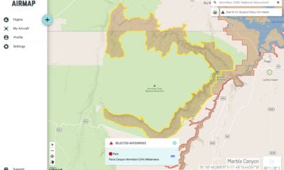
AirMap, TreadLightly! and US Forest Service Partnership – Flying Safely Near Wilderness Areas
August 1, 2019Working jointly with the United States Forest Service (USFS) and AirMap, the leading global airspace intelligence...
Construction & Mining
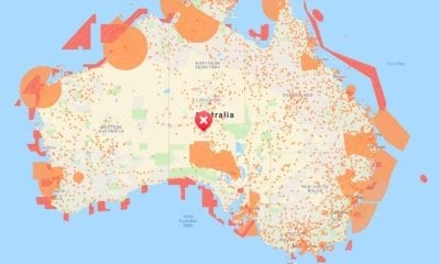
Project Wing Launches Air-Traffic Control App for Drones
July 19, 2019Alphabet subsidiary Project Wing was the first drone delivery company to receive FAA certification earlier this...


News
Involi and AirMap Collaborate with UAS Traffic Management
July 16, 2019Involi, a complete and reliable air traffic data provider for UAS, otherwise known as drones, and...


News
Scientists Use Drones to Map Guam’s Coral Reefs
June 27, 2019Researchers from NASA and the University of Guam have successfully mapped a large stretch the topography...
News
Drones and LiDAR Used to Monitor Forest Restoration Plantations
June 19, 2019Reforestation in green zones is being carried out by ecologists’ world over. Unmanned Aerial vehicles (UAV)...

