
All posts tagged "Thermal Imaging"
-

News
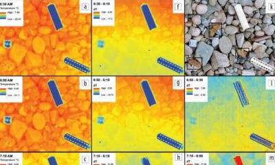
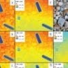
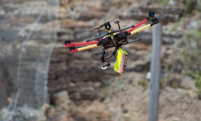
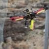
Drones Could Detect Hidden Killer ‘Butterfly’ Landmines
June 20, 2018In post-conflict regions, the leftover landmines that litter the landscapes are a dangerous, even deadly, hazard...
-
Industry
Drone Deploy’s Live Thermal Maps Provide Immediate Insights – But Only for iOS Users
June 13, 2018A first-of-its-kind live thermal mapping feature for drones has been released by drone software company DroneDeploy,...
-
DJI
DJI: Public Safety Drones Save Four Lives in Just One Day
June 8, 2018The role of the drone in public safety is proving to be an absolute necessity –...
-
Industry
Mysterious June 6 Parrot Launch – Bebop 3 Rumours or All New Drone?
June 4, 2018With just under 3 days left until Parrot launches it’s newest addition to their drone inventory,...
-
Industry
New Launch Suspense From Parrot, Reports Drone Business Solutions Will Turn Profit This Year
May 29, 2018France-based drone manufacturer Parrot has released in first quarter report for 2018, with a positive outlook...


Back To Base (B2B)
