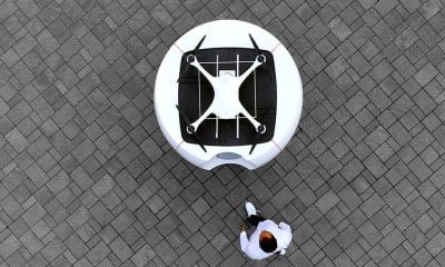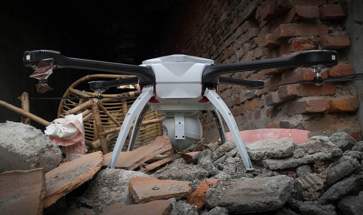
Drones in Disaster Response
Drones are already making their presence felt in the humanitarian sector, given their ability to provide a safe platform to collect real-time observations and actionable data and flexibility in reaching inaccessible or unsafe areas. With a worrying rise in the frequency of natural disasters, humanitarian agencies are becoming increasingly dependent on technology for faster, efficient and effective delivery of aid work.
Disaster Response
Disasters, whether natural or man-made, can cause substantial loss to life and/or property. It is imperative that humanitarian response to such an event is immediate to mitigate its overall impact. Disaster response consists of the following basic steps:
- warning
- evacuation
- search and rescue
- immediate assistance
- assessment of damage
- continued aid
- restoration of basic infrastructure.
Disaster response aims to provide immediate assistance to save lives and create the groundwork for larger scale aid work and initial repairs to damaged infrastructure. The focus is on meeting the basic needs until permanent solutions can be implemented. Humanitarian organizations are typically present in the response phase.
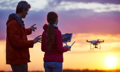
Where Drones Come into the Picture
Response time is critical, immediately post the occurrence of a disaster. The need of the hour is to get effective humanitarian aid to the affected area as fast as possible. More often than not natural disasters are accompanied by bad weather, poor visibility and unhelpful conditions that make it difficult to deliver aid to the affected areas. Under such conditions, it may be impossible to access difficult or hard to reach terrain using conventional aircrafts (planes, helicopters). Recently in the aftermath of the Fiji cyclones, it was only after a few days had already gone by, did aerial surveys of damaged areas become possible. This is where drones could come into the picture.
The first responders are typically the local humanitarian partners and communities. Quick availability of initial help and aid could save many lives and prepare the ground work for larger scale assistance later. Drones can prove to be the difference, especially when aiding the first responders during a disaster.
Drone Advantage
Drones are built to be operable in extreme weather conditions such as strong winds, heavy rains and low visibility (including at night). Drones equipped with thermal cameras can help locate survivors by detecting body heat. Zoom cameras can provide facial recognition. Aerial data from drones allow ground rescue teams to deploy resources as and where required. Drones can also be used as an effective means of communication during emergencies.
What are the specific areas of disaster management where drones can prove to be effective?
Search and Rescue – Aerial imagery of affected areas, thermal imagery to locate survivors, sonar/radar to detect structural damages and identify potentially trapped survivors
Real-time updates – Real-time info to identify damages and access problems, progression of threats, locating survivors, determining where aid is required the quickest
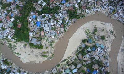
Disaster mapping – 3-D mapping to determine accessibility to affected areas, structural and ground damage, infrastructure requirement, assistance in rebuilding efforts
Delivery of aids – Connectivity and/or accessibility to affected areas, supply of food, drinking water and medicines to affected population, minimizing human damage, contribution to developmental work
GlobalMedic/Aeryon
Drones Making The Difference
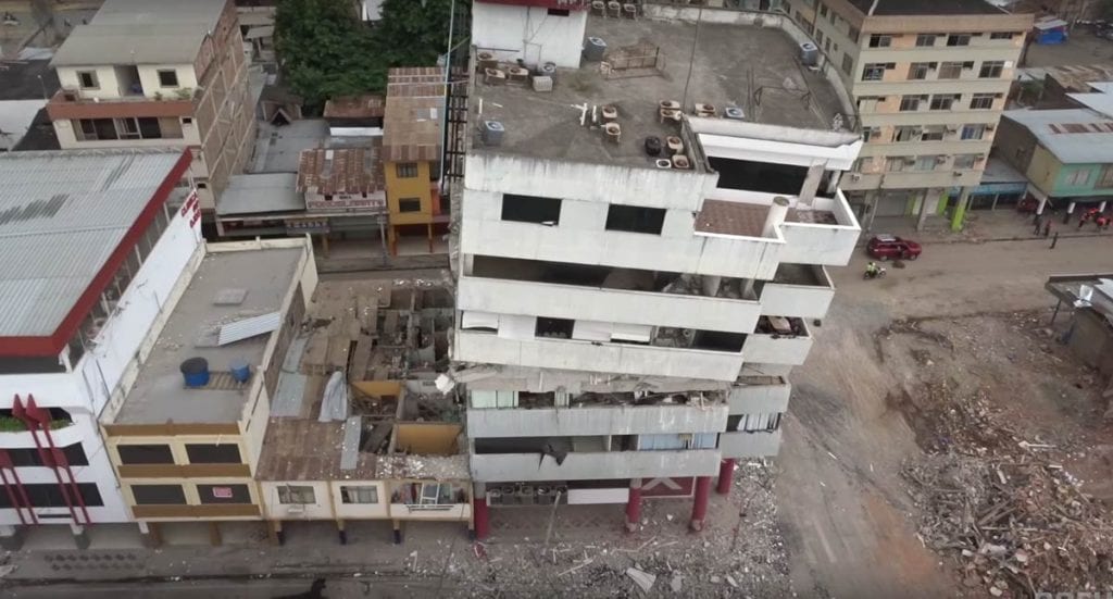
GlobalMedic, the global disaster relief provider has partnered with Aeryon Labs to create detailed maps of affected areas using drones, so that rescuers can focus their attention and resources accordingly.
The SkyRanger UAS (Unmanned Aerial Systems) from Aeryon provided aerial data support during the Hurricane Irma relief work. Aeryon’s drones have previously been utilised during the Nepal earthquake (2015), the Ecuador earthquake (2016) and the Columbian landslides (2017).
Below are some of the other recent uses of drones in disaster management:
-
- Ecuador Earthquakes (2016)
- Hurricane Sandy (Haiti, 2012)
- Typhoon Haiwan (Philippines, 2013)
- Balkan floods (2014)
- Nepal earthquake (2015)
- Hurricane Harvey (US, 2017)
- US wildfires (US, 2013)
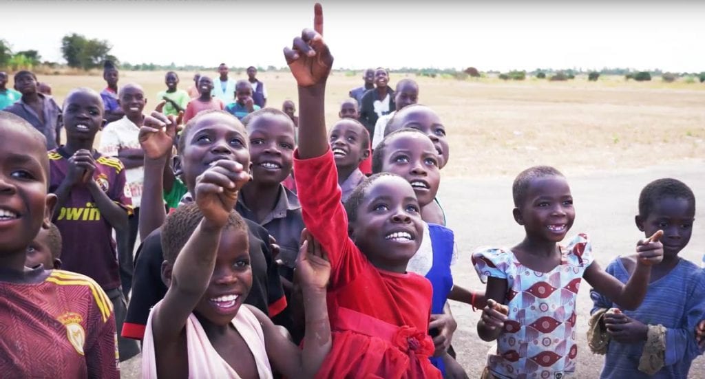
UNICEF Malawi
Recent Developments
Africa is at the forefront for development of drones in humanitarian work. After years of opposition, governments in Africa are finally allowing the use of drones.
UN’s World Food Programme (WFP) is attempting to develop a common framework to allow for effective use of drones in humanitarian work and disaster response. The framework will take into consideration local regulatory requirements, while addressing concerns over potential safety and privacy issues. WFP has conducted workshops in four countries (Mozambique, Dominican Republic, Peru and Myanmar) prone to natural disasters, in order to build local sensitivity and develop expertise in utilising drones in emergency support work.
UNICEF, another organization engaged in humanitarian work across the globe, is looking to develop a drone network across Malawi to help improve its disaster management capabilities. A successful test flight was conducted in 2016 to determine the feasibility of delivering dried blood to hospitals in cases of early infant HIV diagnosis. An air corridor has been developed to test drones for aerial scouting and delivering of supplies.
A similar project to improve rural postal services in Kenya failed to receive approvals from authorities a few years ago over security concerns. On the other hand, in 2016, US-based Zipline initiated commercial drone delivery of medical supplies in Rwanda.
What Next?
The Red Cross and Australian Foreign Affairs are funding a research into the potential use of drones in disaster relief . Drones can help provide exact locations and details of damage and the aid required. The research, which aims to aid in setting up drone bases in South Pacific countries and have locally trained personnel on the ground, will take into consideration local regulations and sensitivities. UNICEF is said to be partnering with a number of countries and private companies globally to promote the use of drones in humanitarian work.
While drones have already been used in mapping affected areas and calculate the extent of damage, the next and even more critical step-forward is to enable these drones to deliver the last-mile emergency aid. With increasing availability and advancement in technology, drones could be used to deliver emergency supplies, including food, medicines and other relief material to isolated areas in the aftermath of a disaster in the very near future.