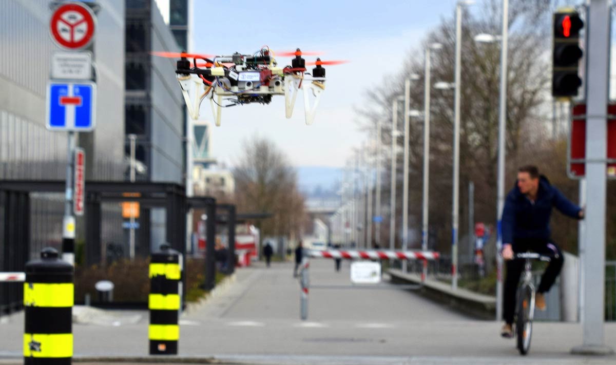
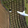
Civilian drones are being put to work in a wide variety of tasks, such as aerial surveillance, delivery, or monitoring of existing architectures. However, given the and highly dynamic nature of urban environments the deployment drones has been limited in cities. All this is set to change now thanks to the efforts by a research team at the University of Zürich which has found a way to help drones navigate autonomously through these challenges in a feasible and safe way.
The research team developed a system called DroNet which is a convolutional neural network that can safely drive a drone through the streets of a city. They created a program that can estimate a sensible direction for the drone to travel in and also estimate if the drone is close to an obstacle.
DroNet is designed as an efficient 8-layers residual network, producing two outputs for each single input image. The first is a steering angle which keeps the drone navigating while avoiding obstacles, and a collision probability, to let the UAV recognize dangerous situations and promptly react to them. The second depicts a collision probability, allowing the drone recognize dangerous situations and react appropriately. Each image contained allows the drone to learn by behavioral cloning: trying to predict the steering angle of the car using a neural network. Gathering real time data was a monumental hurdle. The researchers trained their neural network using data from cars and bicycles which was already integrated into urban environments and would not expose other cars and pedestrians to danger. They gathered their own collision dataset by mounting a camera on a bike and driving towards cars and other obstacles. Thus the neural network was able to predict if the drone was going close to an obstacle or not.
Play
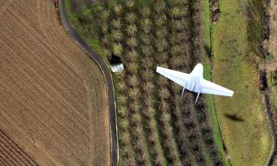
The idea is built on a previous program by the University of Zürich that allowed drones to navigate forest trails autonomously. When a hiker gest lost or injured in the forest, it can be hours before getting rescued.
In collaboration with Università della Svizzera italiana and the University of Applied Sciences and Arts of Southern Switzerland, the system intended to work towards speeding up the search and rescue process. By developing a drone that uses a pair of small cameras to observe the environment, and use artificial-intelligence algorithms to interpret the images, the team were successful in enabling the drone to recognize man-made trails and steer the drone in the corresponding direction.
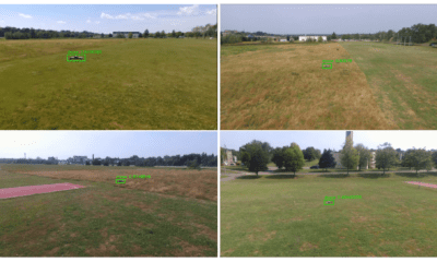
This is a reasonably complex problem for a drone to solve, and something even humans struggle with. However researchers were successful in overcoming it through use of a deep neural network. To gather enough data for their algorithms, the team hiked along different trails in the Swiss Alps for several hours with cameras attached to their helmets and took more than 20,000 trail images. They then tested on a new trail, and in 85% of cases, the drone using the deep neural network found the trail correctly. Humans, in comparison, guessed correctly 82% of the time.
Play
This type of UAS application is still in the research stage,but has many potential applications. From monitoring and surveillance and parcel delivery in busy streets to search and rescue operations in disaster-affected urban or wilderness areas , the possibilities are numerous. However research team members advise against expecting too much from drones at the lower end of the market. “Many technological issues must still be overcome before the most ambitious applications can be-come reality,” says PhD Student Antonio Loquercio.