Microdrones to Introduce Complete LiDar Drone Mapping Solution at ILMF2018
Microdrones, the company that won the E.U. Drone Award for ‘Best Manufacturer’ in 2017, will be presenting their latest solution in LiDar drone mapping next week in Denver, Colorado. Hot on the heels of the International LiDar Mapping Forum, which is running from February 5-7, they are inviting interested parties to attend their workshops and are offering up to a $200 reimbursement on tickets.
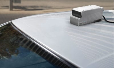
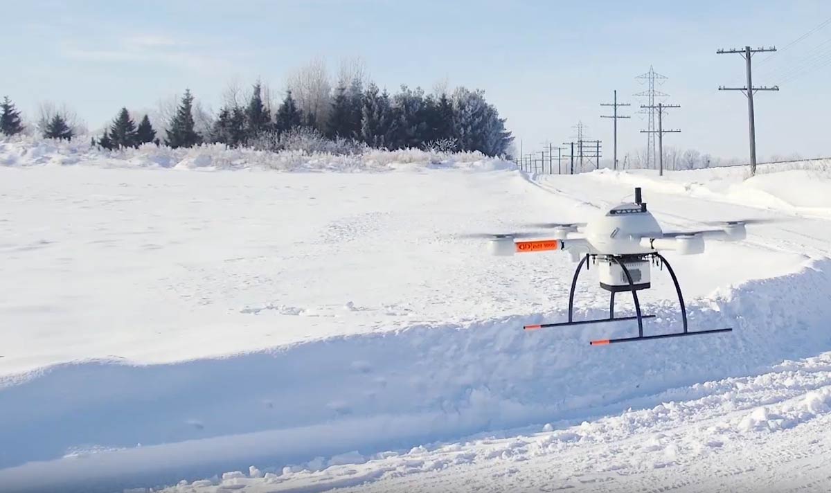
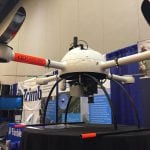
Their Microdrone LiDar 1000 product is aimed at geospatial professionals, and is a completely integrated package that includes a drone a payload, a group of softwares and a dedicated workflow.
“A lot of service providers are looking for a serious quality Lidar that is small, and lightweight enough to be carried by a nice drone like our MD4-1000 so we basically created a complete ready to go turnkey solution for our customers from the beginning, to the mission planning, until the end to exporting your files. It’s a very complete and ready to go to solution,” says Sebastian Long, Director of Sales in Microdrone’s latest video release.
Managing Director Mike Dziok says, “Microdrone’s MD Lidar 1000 is field tested, it’s field proven – it doesn’t call in sick no matter what the weather. Wind, cold, heat, moisture – it’s ready when you are.”
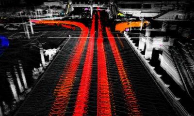
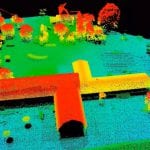
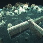
The planning component of the MD LiDar 1000 is actually done using MD cockpit software. Once the drone mission is completed, information is retrieved so that the data can commence post processing work. The geo-referencing and the automated processing is all done in a seamless fully integrated workflow.
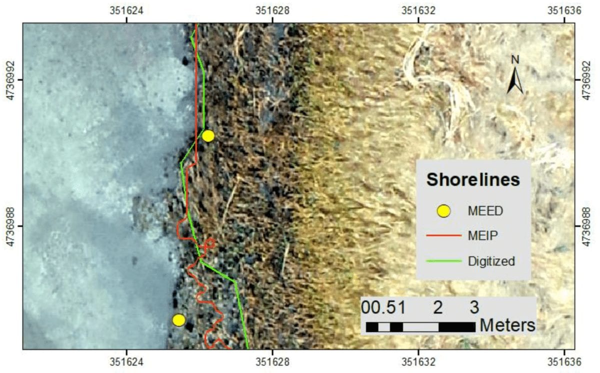
The system displays consistent accuracy of 6cm when flown at a speed of 3m/s, and a height of 40m. This makes it useful for a variety of applications within construction, oil & gas, mining and land surveying industries.
-

- Source: Microdrones
-
- Source: Microdrones
LiDar stands for Light Detection and Ranging, and is a remote sensing technology that uses the same principles as radar but instead with light from a laser. It is often used with aerial vehicles including UAVs to collect topographic and geospatial data. The International LiDar Mapping Forum brings together professionals from a broad range of industries and fields including natural asset and resource management, civil infrastructure, coastal zone mapping, mining, construction and more. This year it comes together with ASPRS, the Imaging and Geospatial Information Society, to allow attendees to access a wider intersection of geospatial solutions and technical education.