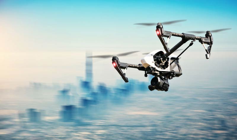
AI
Tracking Drones and Making Airspace Safe: Vodafone Trials 4G IoT Network
Tracking Drones and Making Airspace Safe: Vodafone Trials 4G IoT Network
With the uptake of drones in consumer, commercial and industrial sectors, safety in airspace is becoming all too important a consideration. The European Drones Outlook study, conducted by the Single European Sky Air Traffic Management Research (SESAR), shows that more than 250 million flying hours will be logged by drone pilots per year over densely populated areas of the European Union. When you consider that is seven times that of conventional aircraft, it is obvious that measures must be taken. Recent events such as the drone caught on video flying near the path of a Frontier Airline aircraft in Las Vegas drive the point home.
Vodafone announced today it intends to mitigate these dangers by trialling an innovative approach to safe airspace management with a drone tracking system that will use 4G SIMs embedded with drones. Using their pioneering 4G Internet of Things (IoT) technology, they have developed a world first Radio Positioning System (RPS) for drones, which will protect aircraft from drone-related accidents, and could also be used to drone incursions at sensitive locations such as airports, prisons and hospitals, accidental or otherwise.
This approach could be a great improvement on conventional radar, which is not sensitive enough to track small commercial and consumer drones. Vodafone’s RPS has many advantages, for both operators and air traffic controllers – and regulatory authorities. Air traffic control would benefit from the ability to track drones in real time with up to 50m accuracy and the ability to “geo-fence” sensitive and predetermined exclusion zones such as airports and prisons. Drone operators would be safe in the knowledge with reduction of accidental incursions in cases of beyond-visual-line-of-sight (BVLOS) control and automatic safe landing and return of their UAVs in such cases. Drone pilots would also benefit from the stronger data connection used to control the drone, experiencing greater resilience and over-the-horizon real-time feedback.
The system has inherent security advantages over GPS location data, with 4G mobile networks already possessing long-established, solid end-to-end encryption over-the-air from SIM to base station. RPS location data is significantly harder to hack or spoof. The 4G IoT system would also allow authorities to take over control of a drone in cases of emergency – and for example, if the drone incursion proved to be a terrorist threat, SIM-based owner registration would allow the drone owner to be identified.
Vodafone Group Chief Technology Officer Johan Wibergh is excited about the project, saying, “This groundbreaking innovation by Vodafone will help to ensure the skies stay safe as drones become ubiquitous, everywhere.”
The implications of this technology is wide-reaching. Vodafone is combining the RPS with proprietary Artificial Intelligence algorithms, which could also be used control drone swarms. With the intention of accelerating the pace of global drone airspace control and geolocation innovation, Vodafone has placed its RPS research and associated intellectual property in the public domain with no licensing fees for re-use.
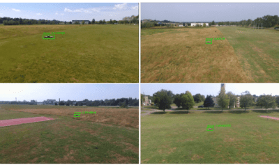
An initial trial was undertaken in late 2017, when Vodafone used its 4G network to control a 1.3 metre wingspan, 2 kilogram X-UAV drone for 32km around the town of Isla Mayor, near Sevilla in Spain. In the trial, the drone transmitted a real-time HD video feed and flight data including speed, RPS location and GPS coordinates.
With a view to continuing their IoT drone tracking and safety technology trials in Germany and Spain this year, Vodafone has collaborated with the European Aviation Safety Agency (EASA) to support their objectives. The project also enhances the European Union’s objective of becoming a centre of global innovation in drone technology in line with the European Commission’s “U-space” vision for innovative and safe drone operations.
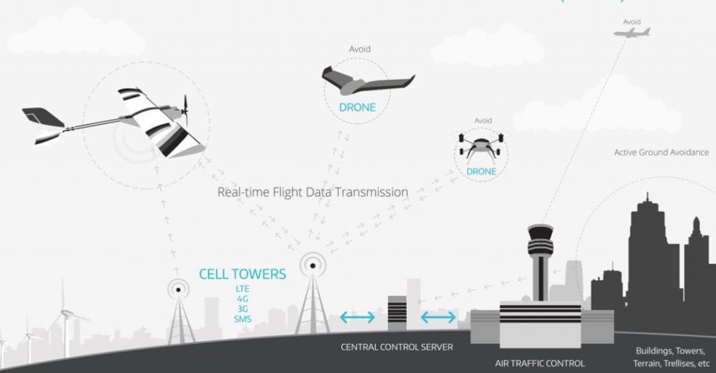
“U-Space” drone traffic management system | Source: APANT
“The Commission supports all trials aimed at realising our U-space vision for safe commercial drone operations in the EU – there is a growing network of demonstrations and projects across the EU. We look forward to hearing the results of Vodafone’s work,” said Deputy Director General of the European Commission Matthew Baldwin.
Vodafone’s intention is to make drone tracking and safety technology available for commercial use from 2019, and it could also be used to boost the functionality of other IoT devices in future – from luggage tags to bicycles. RPS could support, or replace, GPS in some IoT devices, enabling better location tracking, particularly indoors, the creation of smaller devices and enhanced security.