Conservation
The Lone Drone on a Mission to Save Rare Nigerien White Giraffes
There are only around 600 rare white giraffes left in the entire world, and now it appears their fate may depend on one little hexacopter drone.
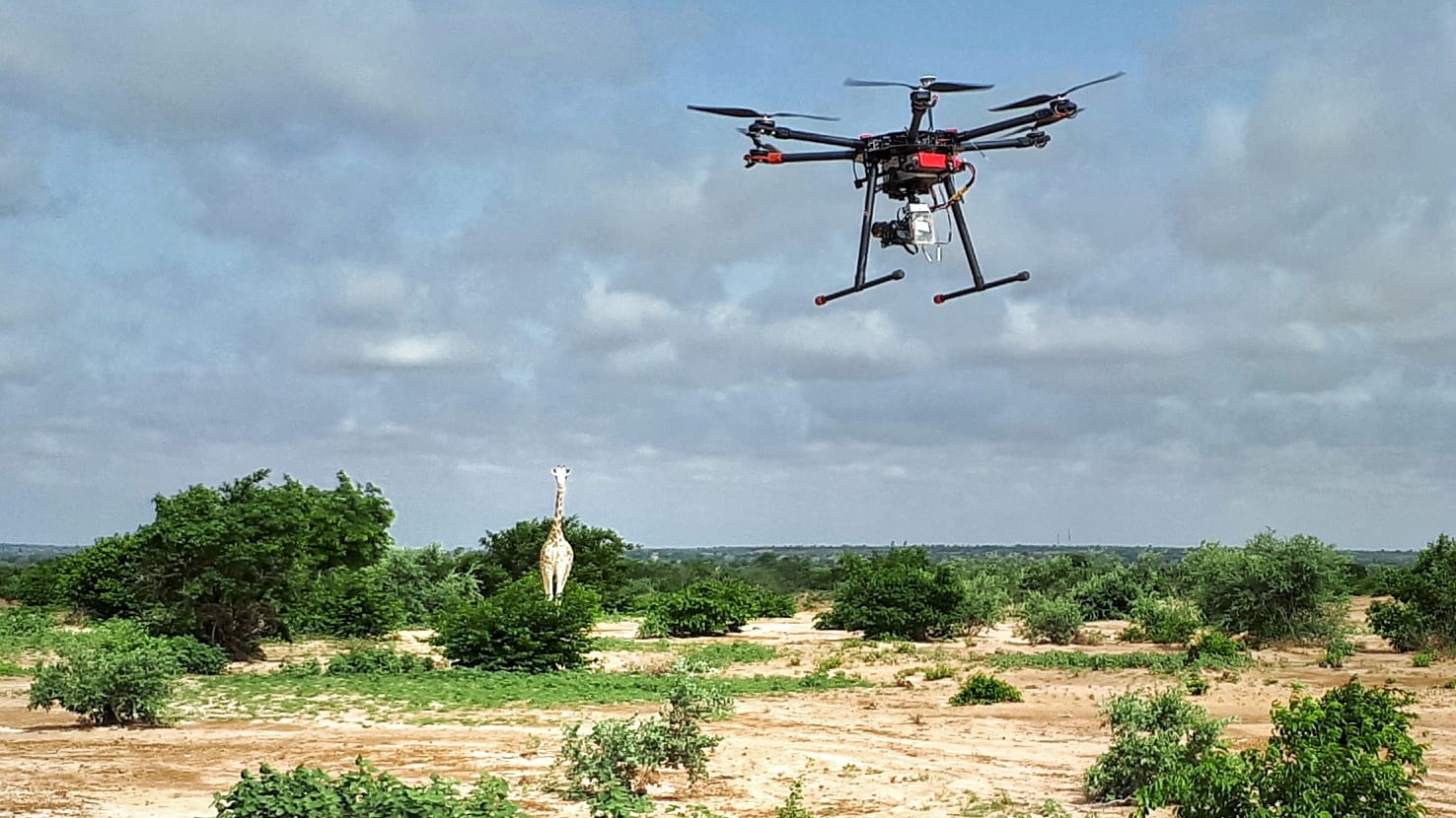
In a project funded by the The Federal Ministry of Economic Cooperation and Development, Germany (BMZ), the Nigerian Drone Africa Service is now on a mission to photograph and film herds of rare white giraffes in Nigeria in a bid to understand more about their habits and habitat.
In West Africa, the last populations of the endemic species “Giraffa camelopardalis peralta” are found in Niger, in the plateau area of Koure and Dallol Bosso, covering more than 1,700km2. This population of giraffes was particularly threatened by the disappearance of its habitat – the tiger bush – destroyed for the benefit of the agriculture of local populations, but also by climate change, including droughts, as well as poaching. These phenomena have reduced the available pasture, eliminated water points and thus contributed to the disappearance of the species, formerly present by the thousands, in Niger, Senegal, but also in Mauritania, Mali or Nigeria. In the 1990s, only about 50 of them were listed over an area of 840km2.
Now using a drone equipped with a camera, GIZ (Deutsche Gesellschaft für Internationale Zusammenarbeit) are implementing the project on behalf of the Nigerian Drone Africa Service, dubbed “Cross-border Biosphere Reserve of the W-Arly-Pendjari Region”, it was reported in Happy in Africa.
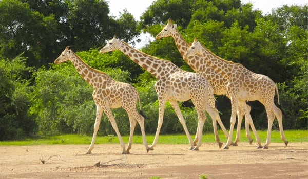
Rare Nigerian White Giraffes | Happy in Africa
Destined to disappear, the giraffes of Niger have survived thanks to the efforts of the local population, the government and the support of various projects such as those of the Association for the Safeguarding of the Giraffes of Niger (ASGN), the Association for the Promotion of Ecotourism in Niger (AVEN) and, more recently, the Giraffe Conservation Foundation and the Sahara Conservation Fund.
Recognizing the need for reliable data on the species to better preserve it, the Wildlife, Hunting and Protected Areas Directorate has undertaken several actions, including the training of guides, the identification and training local informants for local ecological monitoring as well as enumeration.
Previously, traditional methods of counting individuals consisted of a census on foot by conservation and preservation teams. Giraffes would be followed individually using photo recognition techniques. Tasks on their flanks, unique and unique to each individual, are photographed and compared one by one. GPS coordinates would also be collected by teams to determine the exact position of mammals. This method is subject to various constraints, such as tracking moving herds on foot, poor quality of photographs or the visual comparison of snapshots for an exhaustive annual census.
By taking aerial images and videos, the drone technology facilitates easier counting and ecological monitoring of the species. Difficult areas may be accessed more easily, and taking pictures is done simultaneously with the determination of GPS position in real time. Aerial photography also makes it possible to carry out mapping and evolutionary analyzes on the state of the vegetation, in order to better manage the spaces for a better enhancement of the environment.
So far, tests to evaluate the potential of using drone systems for this purpose are yielding very promising results. It is expected that the project may be extended to the entire giraffe habitat zone and be duplicated as part of other projects for the preservation and sustainable management of protected areas and species.

