LiDAR
Chinese Scientists Deploy Drones, Detect Arctic Temperatures Warming
Chinese Scientists Deploy Drones, Detect Arctic Temperatures Warming
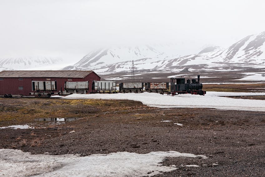
Scientists working at the Institute of Atmospheric Physics (IAP), Chinese Academy of Sciences have reported a rise in temperatures in the Arctic region of Ny Alesund, the most northerly inhabited location in the world and the last place inhabited by people before the North Pole.
The team, which commenced an observation campaign at Ny Alesund in June 2017, have been using lidar and UAV to measure and analyse atmospheric processes in the region.
The Arctic plays a very important role on planet Earth’s climate system, as it warms more quickly than the rest of the planet. By analysing the local air temperatures around Ny Alesund (78°55’1.2N, 11°55’58.8E), where the Chinese Arctic station Yellow River is locate, they have found this region is the most sensitive to air temperature increases in all the Arctic region.
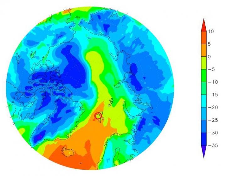
Daily mean air temperature in 60 N on Feb 26, 2018. The red circle denotes Ny Alesund.
However, they point out this February hasn’t been the warmest. It has been the highest temperature in the recent heat wave, with data revealing a daily mean temperature of 3.3 degrees C, and a maximum temperature of 4.4 degrees C, on 26 February, 2018, which was much higher than other areas in the Arctic and other lower latitudes. But, as the National Oceanic and Atmospheric Administration of USA Director eremy Mathis, reported last year, “The average surface temperature in the Arctic from January until September of 2016 was by far the highest we’ve observed since 1900.”
The IAP have also been using drones for other atmospheric research projects in remote regions of China. Last year they flew a UAV in the Taklamakan Desert, which is an arid area just slightly smaller than Germany, located in northwest China.
The UAV, which was developed by the Institute of Atmospheric Physics (IAP) in collaboration with the Institute of Desert Meteorology, China Meteorological Administration, was the first such to fly in the Taklamakan Desert.
-

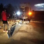
- Scientists get prepared in the dawn twillight to fly the UAV | IAP
-
- The IAP-made UAV is specified with 4-meter wingspan and 500 km range | IAP
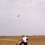
The desert is the largest in Asia and has some of the finest sand on the planet. Because of this, it has significant impact on the environmental and atmospheric conditions in China.
UAVs make ideal research tools for remote areas with adverse conditions such as the Arctic Circle and arid deserts. The use of drones in these research projects are a promising new phase for the Institute of Atmospheric Physics. With them, Chinese scientists will be able to obtain better, more accurate observation data in uninhabited wilderness from deserts and plateaus, and oceans to the Arctic.