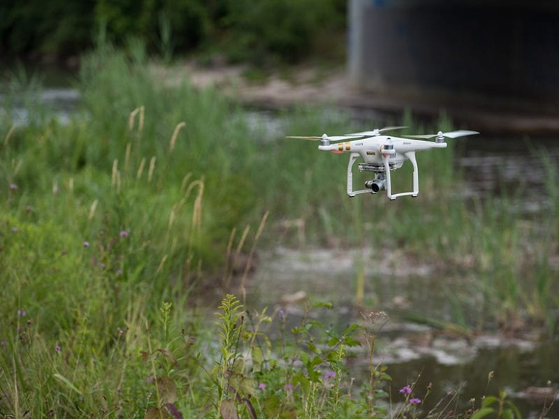
Drones or Unmanned Autonomous Vehicles (UAVs) will soon be an integral part of many aspects of our lives, and none more so than getting photographs and videos from vantage points that are normally inaccessible. Peering into the crater of an active volcano has hitherto been ill-advised, but with a drone the potential gains outweigh the risks and has been recently achieved.
Much has now been written on the matter and this post seeks to bring the leading articles and discussion into one summary.
For example, the American Geophysical Union (AGU) magazine EOS reported last December on thirteen new ways drones are being applied in science.
The article, which marked the 20th annual Earth Science Week, listed applications including:
- Finding sources of pollution;
- Studying climate change effects in the Arctic;
- Studying volcanos;
- Studying the Earth’s albedo, that is, the way the Earth reflects and absorbs light;
- Exploring sea ice;
- Studying cracks in glaciers;
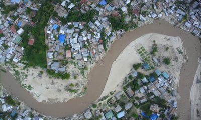
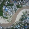
- Viewing floodplains from above;
- Detecting underwater gas leaks;
- Mapping the bottom of acidic lakes;
- Exploring under-ice ecosystems;
- Tracking underwater avalanches;
- Finding shipwrecks;
- Detecting changes in Earth’s elevation.
In south-western Italy, this involved detailed mapping of erupting vents in the Mt Stromboli crater. The velocity of volcanic bombs and ash, mass eruption rates and their duration are all now possible. The precise source location of vents reduces the uncertainty in designing seismic, acoustic and gravity stations. Monitoring changes in vent diameter and their effects on eruption style also allow scientists to understand the dynamics of the magma system.
Play
In Costa Rica, scientists traveled to Laguna Caliente in 2016 to test a UAV where underwater volcanic lakes have the potential to explode if gas builds up.
Play
In the Pacific Northwest of the USA, a drone was used to view and study the remains of a glacial dam at Frenchman Coulee that burst and flooded the region from around 18,000 to 13,000 years ago, known as the Lake Missoula floods.
Play
Last month the American Geophysical Union (AGU) also published an article titled Drones in geoscience research: The sky is the only limit.
In the article, six ways that drones are making their way into geosciences research and industry are discussed. Researchers’ ability to monitor “Earth processes have been dramatically increasing, offering new opportunities to observe Earth’s dynamic behaviour in fields ranging from hydrology to volcanology to atmospheric sciences”. This revolution is just beginning and imaging and sampling Earth’s surface using unmanned aircraft systems, also known as unmanned aerial vehicles (UAVs), remotely piloted aircraft, or, colloquially, drones, is a “game changer”. Look here for full article and comments.
At a Post-convention Workshop in Houston, Texas, in September 2017 the Society of Exploration Geophysicists (SEG) focussed on Drones Applied to Geophysical Mapping.
Geophysical surveys using drones (also referred to as unmanned aerial systems (UAS) at this conference), increase efficiency, reduce risks and lower costs. Drones are becoming increasingly sophisticated and able to undertake surveys in some terrains that previously could only be managed on foot. This workshop addresses the many challenges and limitations to be overcome such as aircraft performance limitations and improved geophysical sensors suitable for use with drones.
Presentations at this workshop included:
- Introduction to the Workshop – John Lane, United States Geological Survey
- Introduction to UAV Systems – Robert LeFebrve, NOVAerial Robotics, Inc. for Geophysical Mapping
- Drone uses in the Petroleum – Susan Nash, American Assoc. of Petroleum Geologists Industry: Upstream Focus
- Accessing Difficult Areas for Seismic – Andrew Feltham, Total Surveying using Airborne Drones
- A Review of UAS Magnetometers – Ron Bell, International Geophysical Services, Inc. for Small Unmanned Aerial Systems (sUAS)
- MFAM: Miniature Atomic – Bart Hoekstra, Geometrics, Inc. Magnetometer for Autonomous Magnetic Surveys
- Case History: Application of Michael Burns, Pioneer Aerial Surveys Ltd. UAS Magnetometry to Mineral Exploration
- Drone Magnetic and LiDAR Surveys – Richard Hammack, Garret Veloski, and James Sams III (NETL) for Locating Legacy Oil and Gas Wells and Luke Wylies (USAVI)
- Examples of Autonomous Aeromagnetic Johannes Stoll – Mobile Geophysical Technologies Surveys Using a Vector Magnetometer
- Unmanned Aerial Vehicles and Peter Dueck, Aerial Imaging Resources and their Applications in Exploration and Mining
- UAV Magnetometry for Mineral Exploration – Jean-Christophe Ricard, Devbrio Geophysique Inc.
- Comparison of Ground Magnetic – Ron Bell, International Geophysical Services, LLC and Low Altitude Aeromagnetic Data
- Drone for Gravity Terrain Corrections – Kevin MacNabb
- MWH Geo-surveys, Inc. 14 Flight Over Hike: A Seismic Approach – Rodney Lopez, Geospace Technologies, Inc. with UAV Technologies
- Mapping Oilfield Infrastructure – Trevor Richards, Denbury Onshore, LLC with UAV and Aaron Totten, Seiclone Surveys, Inc.
Possible publication of the presentations are accessible here.