Autonomous
Drone With LIDAR Maps Tunnel For Self-Driving Cars
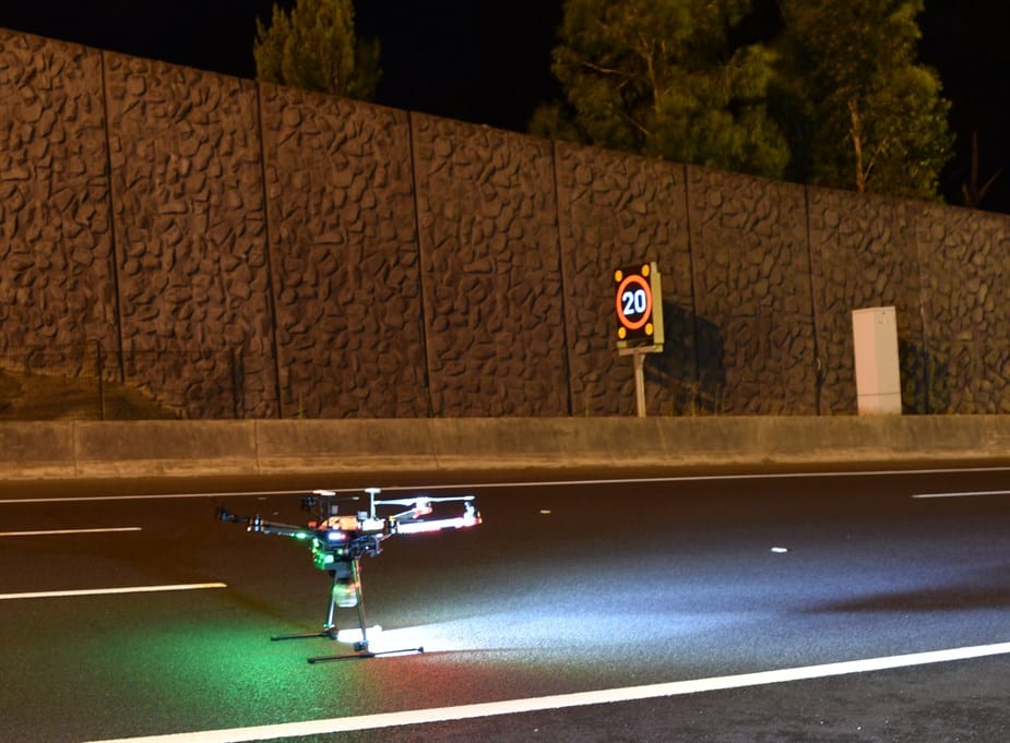
 To enable the operation of most fully self-driving car prototypes, the road network needs to be mapped in high resolution. When EastLink’s Mullum Mullum tunnel was closed for overnight maintenance recently, Telstra’s aerial drone captured a LIDAR map of the tunnel. This brings the EastLink tunnel a step closer to being able to support safe trials of fully self-driving cars.
A television news report showing the aerial drone capturing the LIDAR map of the EastLink tunnel was broadcast by 7 News Melbourne on Friday 6 April.
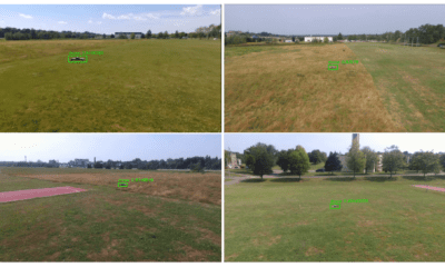
LIDAR is a digital surveying technology that uses a rapidly pulsing laser light to build up an accurate 3-D representation of the area being surveyed.
One of the applications for LIDAR is to make high resolution 3-D maps.
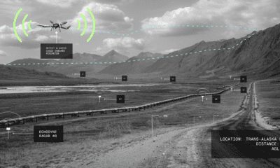
LIDAR maps are used by most of the latest fully self-driving car prototypes, which are now under-going trials overseas in places like San Francisco.
These fully self-driving cars are pre-loaded with a LIDAR map of the trials area in which they are permitted to fully self-drive themselves. The cars also have their own LIDAR scanner which captures a real-time LIDAR view of the vehicle’s surroundings.
The fully autonomous driving system within these prototype cars compares the real-time LIDAR view against the pre-loaded LIDAR map to significantly increase the accuracy of their self-positioning system, as well as to help identify other objects that the car needs to avoid – such as pedestrians, cyclists, animals and other vehicles.
EastLink corporate affairs and marketing manager Doug Spencer-Roy explained, “Over the past year, EastLink has been trialling the latest driver assistance functions now available to the Australian public in some production vehicles. Those trials have already identified opportunities to improve the operation of those functions. By starting the process of capturing high resolution LIDAR maps of EastLink, we have now embarked on preparing EastLink for safe trials, under controlled conditions, of fully self-driving vehicles.”
“As an added bonus, LIDAR maps of the EastLink tunnels can also be used to support our maintenance activities, by allowing the details of the tunnel infrastructure to be viewed in 3-D when planning maintenance works,” he added.
Telstra provided the aerial drone, LIDAR scanner and LIDAR map data processing. Telstra’s experienced pilot controlled the drone as it flew through the EastLink tunnel to capture the LIDAR map.
Telstra Enterprise’s executive director growth, Andrew Wildblood said, “Drones are an important emerging technology that will have many applications and benefits for our business, our customers and the wider community.”
“Telstra will continue to play an important role in this space, with our world class network enabling our customers to take advantage of drone technology now and into the future. Telstra has a dedicated cross-company drone team that are actively exploring the efficiency, cost reduction and safety benefits that drones can deliver our customers, like EastLink, across a number of different industry sectors.”
In EastLink’s recent Annual Victorian Self-Driving Vehicle Survey, 29% of the 15,000 survey respondents said they wanted their next vehicle to fully self-drive on all roads. However, it will be years before fully self-driving cars are introduced for the public in Australia. In the meantime, fully self-driving car prototypes need to be trialled here safely, under controlled conditions.
Doug Spencer-Roy concluded, “Trials of fully self-driving car prototypes need to be conducted under controlled conditions on Australian roads to test their safe operation in Australian environments, including our urban streets, arterial roads, freeways and tunnels. To enable these trials, the trial sites first need to be mapped in high resolution. With the LIDAR mapping of EastLink’s Mullum Mullum tunnel by Telstra’s aerial drone, we have now started that process.”