Microdrones Enter Drone Mapping Market in Australia, NZ, Papua New Guinea
 UPG, (Ultimate Positioning Group), is a distributor of premier hardware and software solutions to the geospatial industries, including mapping, surveying, construction and building systems, in Australia, New Zealand, and Papua New Guinea. They have announced that they are now offering Microdrones UAV solutions.
Thomas Tadrowski, Imaging Project Manager for UPG, is excited to add Microdrones mdSolutions to their product catalog. He says, “The Microdrones and UPG strategic reseller distributorship complements the Trimble hardware/software ‘field-to-finish’ workflow, and highlights our endorsement of products that truly deliver the best. The Direct Georeferencing (DG) advantage, especially on the Microdrones UAV, is the most accurate and efficient drone mapping solution. It is far superior to just PPK systems that still do not resolve the three-rotation ‘attitude’ of the sensor. This is mandatory for true ‘no ground control’ mapping.”
UPG customers seek complete ‘field-to-finish’ drone mapping solutions that provide high accuracy, integrated advanced hardware, and an easy, yet sophisticated, data processing workflow. Microdrones offers fully integrated mapping systems and offers the industry-leading Direct Georeferencing system for accurate, efficient mapping with minimal survey ground control. Tadrowski explained, “Of equal importance to UPG is the Microdrones proven history of reliability and a well-developed B2B support system.”
UPG was founded in 1888, and has a 130-year history of satisfying customers. The company employs experienced technical and sales teams situated throughout Australia and New Zealand. These teams work closely with end users providing support and maintenance capabilities.
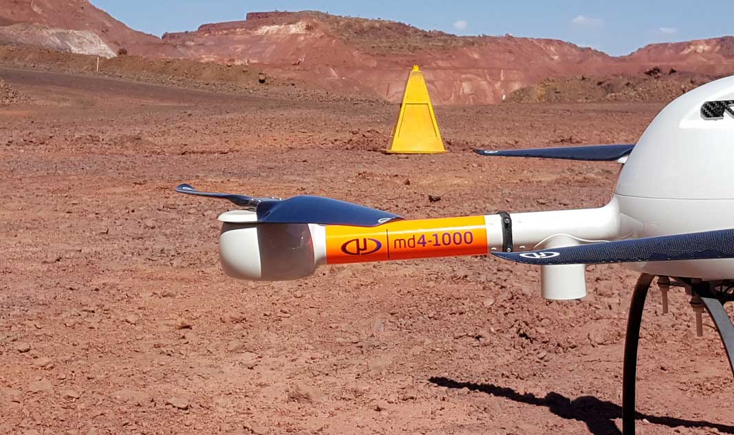
The company believes the Microdrones mdMapper, mdTector and mdLiDAR solutions will benefit their customers in several key ways. The mdMapper1000DG is the best developed mapping VTOL solution. According to Tadrowski, “The advantages of minimal survey ground control, plus the integrated hardware payload with the software and workflow, make this a very efficient, accurate and cost-effective system. With the DG integration of a medium-format mapping camera, plus flight control for effectively ‘crab-free’ imagery, this system is one of the most cost-effective integrated drone packages currently available for commercial use.”

Microdrones’ solutions can be used for surveying, mining and construction | Microdrones
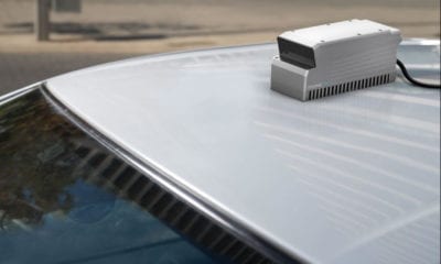
He adds, “The mdLiDAR set of solutions will offer our clients the capability to deploy either the mdLiDAR1000 system, or the Riegl VUX1 onto the md4-3000, with Microdrones reliability and mapping payload integration experience. Besides forest and vegetation mapping, the LiDAR solution empowers users to do powerline mapping, and even night-time mapping data capture! And as with all Microdrones systems, the payload, hardware and software control is a fully integrated solution packaged with the drone.”
“The mdTector1000 CH4 system opens additional service opportunities for our customers,” Tadrowski adds. “Using the same Microdrones aircraft platform as the mdMapper1000, the interchangeable payload of the CH4 uses a Pergam gas detector for mapping gas pipelines, landfill emissions, and gas well testing. The quality of the gas detector, along with the autonomy of the flights, results in an easy-to-use, reliable, and efficient gas mapping system.”
UPG has already generated strong enthusiasm and demand for demonstrations. “Customers are immediately impressed with the stability and flight characteristics of the drone and integrated payloads,” says Tadrowski. “And they are motivated by the mapping efficiency and accuracy of the results. The product engineering and the system integration are very impressive.”
UPG has a long and successful history providing “field-to-finish” hardware and software solutions. UPG is already fully experienced with the Microdrones mapping workflow and can confidently support interested customers in making this exciting technology a part of their business.
For more information about UPG, visit https://upgsolutions.com/.

