LiDAR
Researchers Map the San Andres Fault Using Drones and LiDAR
Researchers Map the San Andres Fault Using Drones and LiDAR
Understanding the San Andreas fault is of paramount concern in earthquake-prone southern California, which experiences frequent earth movements.
Traditional techniques of mapping a geological fault line can be time-consuming, requiring topographic surveying with ground points that need to be reached by research teams in remote and often high alpine locations, putting themselves at risk should there be an earthquake event.
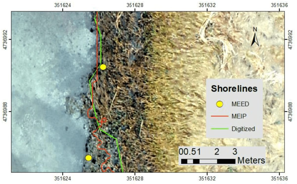
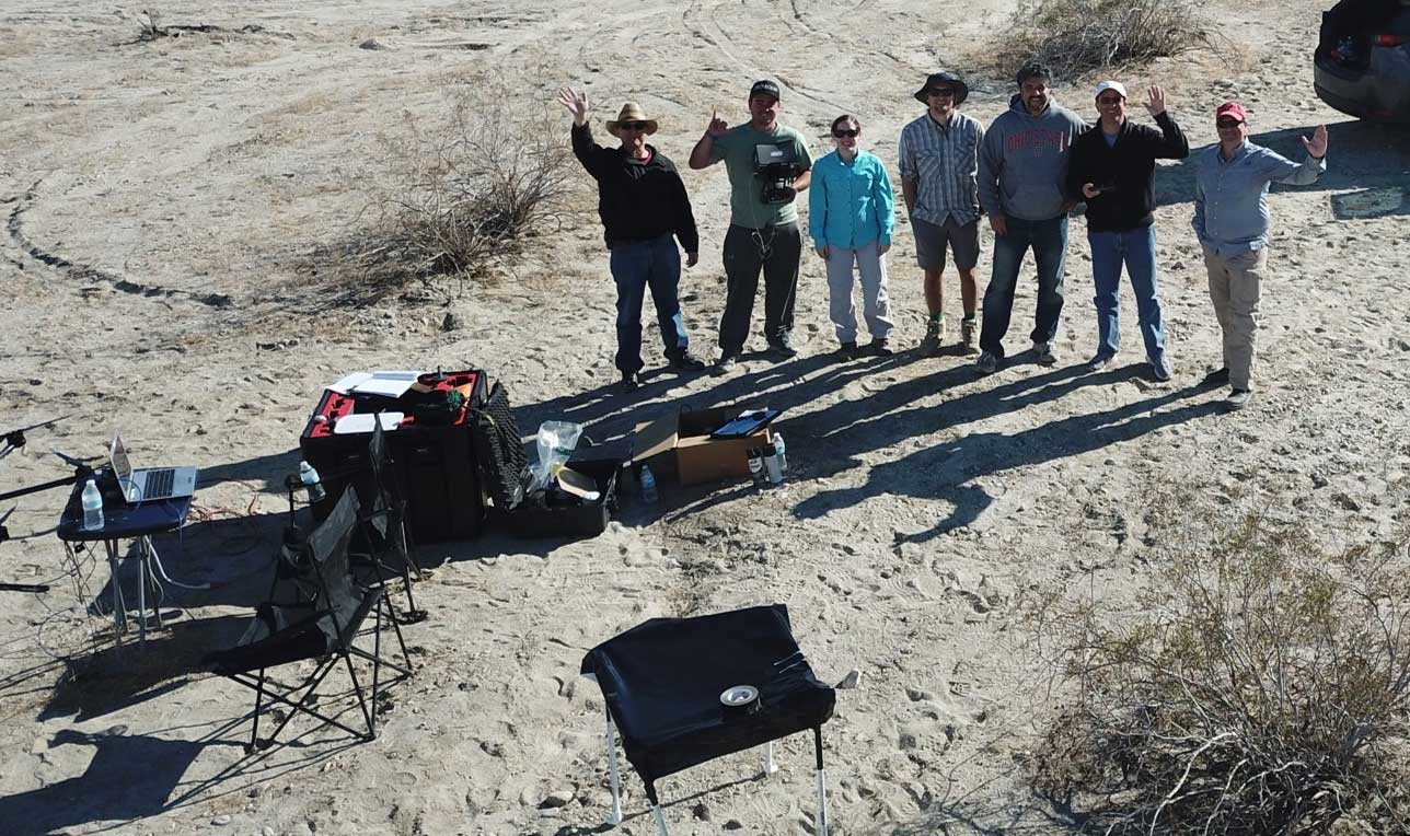
Using drones, mapping software and LiDAR technology, researchers from the Department of Geological Sciences at San Diego State University (SDSU) have now described how they have mapped the San Andreas fault with a view to discover new fault zones and ‘active fault traces’ – where the geological fault can be visibly seen on the earth’s surface.
While researchers have used small drones in the past to create 3D maps of earthquake-prone areas, they have generally used a Structure from Motion (SfM) photogrammetrical approach which inherently cannot reference scale on the maps they produce.
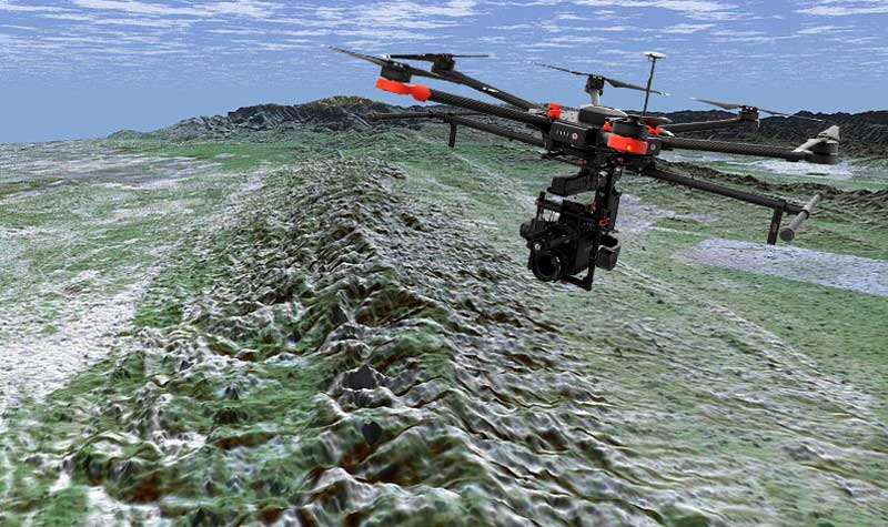
The Department of Geological Sciences at San Diego State University teamed with Geodetics Inc. to research the San Andreas Fault in southern California | USDU
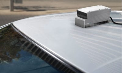
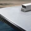
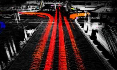
Teaming with Geodetics Inc., who integrate mobile mapping systems with passive and active vision sensors, they used a DJI Matrice M600 kitted out with a Geodetics Geo-MMS system and Velodyne LiDAR sensors.
The Geo-MMS was equipped with Geodetics’ Point&Pixel™ technology which uses the LiDAR to create the ‘points’ while the on-board camera provides the ‘pixel’.
This way, researchers could generate 3D models without the need for traditional surveying ground control points and assess significant past slip events as well as aseismic creep (otherwise known as ‘silent earthquakes’ because the tremors occur over weeks to months instead of seconds or minutes).
Dr. Allen Gontz, Professor and Chair of Geological Sciences at SDSU explained the benefits of LiDAR in 3D mapping in a statement released by Geodetics Inc.
“LiDAR mapping represents a very exciting technology for geology since it enables the generation of accurate 3D mapping, even in the vertical component where classical photogrammetry techniques are lacking,” he said.
Working further with Velodyne, Geodetics intends to expand its product range by integrating Velodyne’s long range ULTRA Puck™ VLP-32C sensor in order to continue to provide professionals and researchers such as Gontz and his team with cost effective, high quality tools.
“Traditional techniques including topographic surveying tools require ground control points in the surveyed area, which are challenging in remote, high alpine environments and fault areas. LiDAR topographic surveying operating on unmanned aerial vehicles takes mapping to a new level because of its coverage scale and high resolution without the need of ground control points,” said Dr. Lydia Bock, President and CEO, Geodetics Inc.
Using the technology, Gontz says SDSU’s research team will continue keep a close eye on the fault line.
“Our researchers at SDSU are planning to continuously monitor the fault to better characterize it and exploit the advantages of the current 3D mapping technique,” he said.