Turtle Tracking by Drone, Cape York, Australia
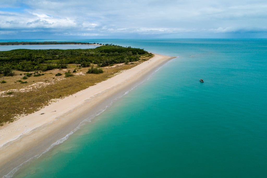
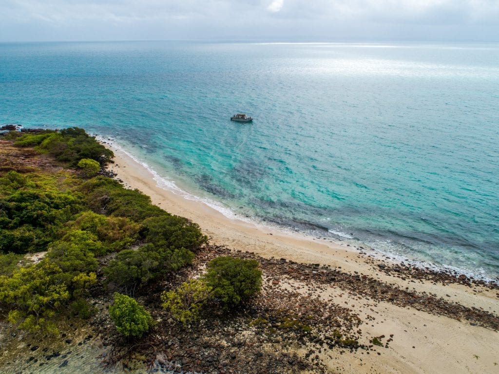
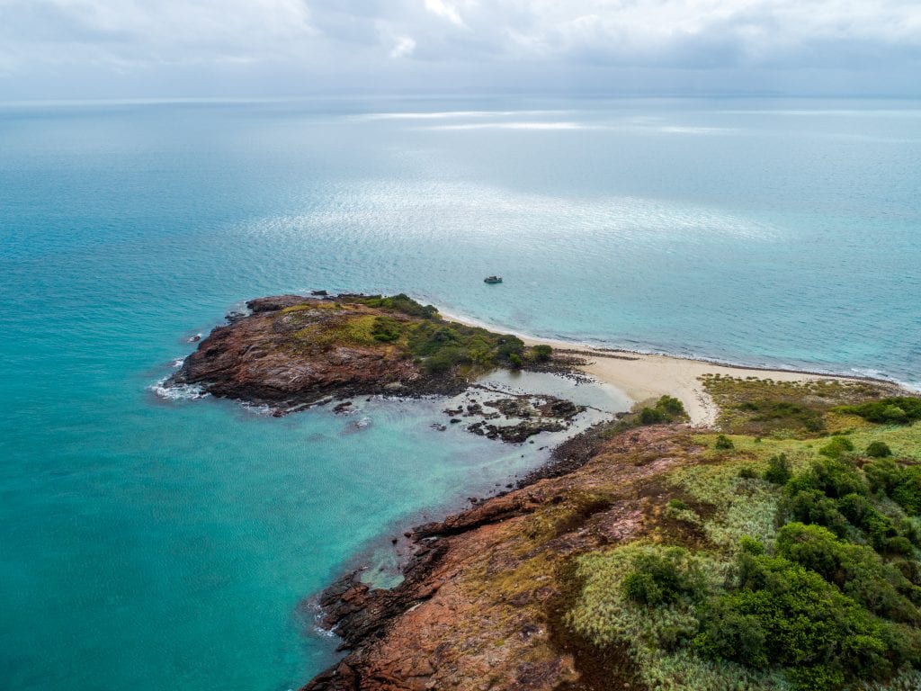
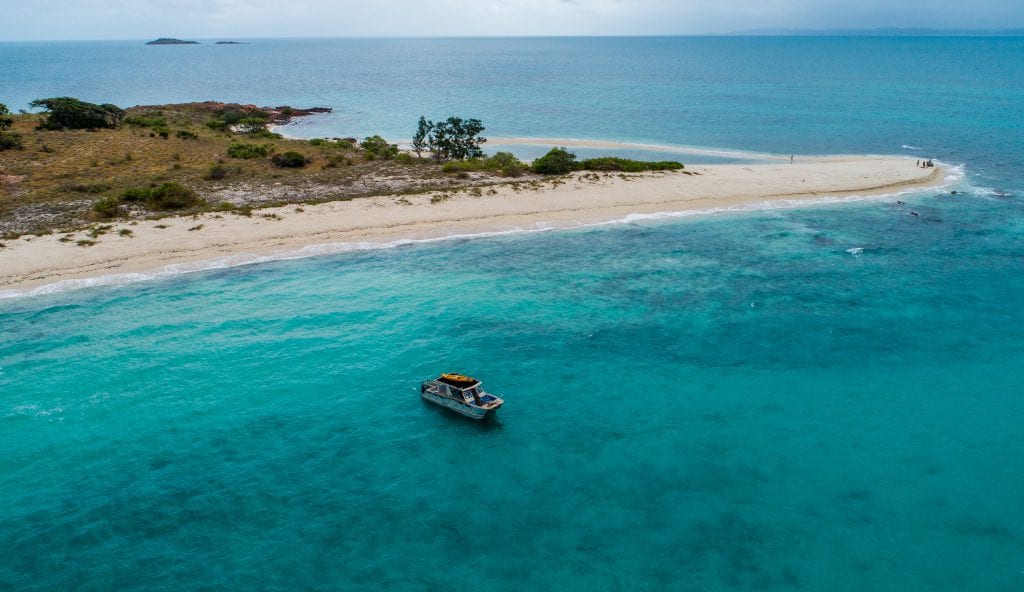
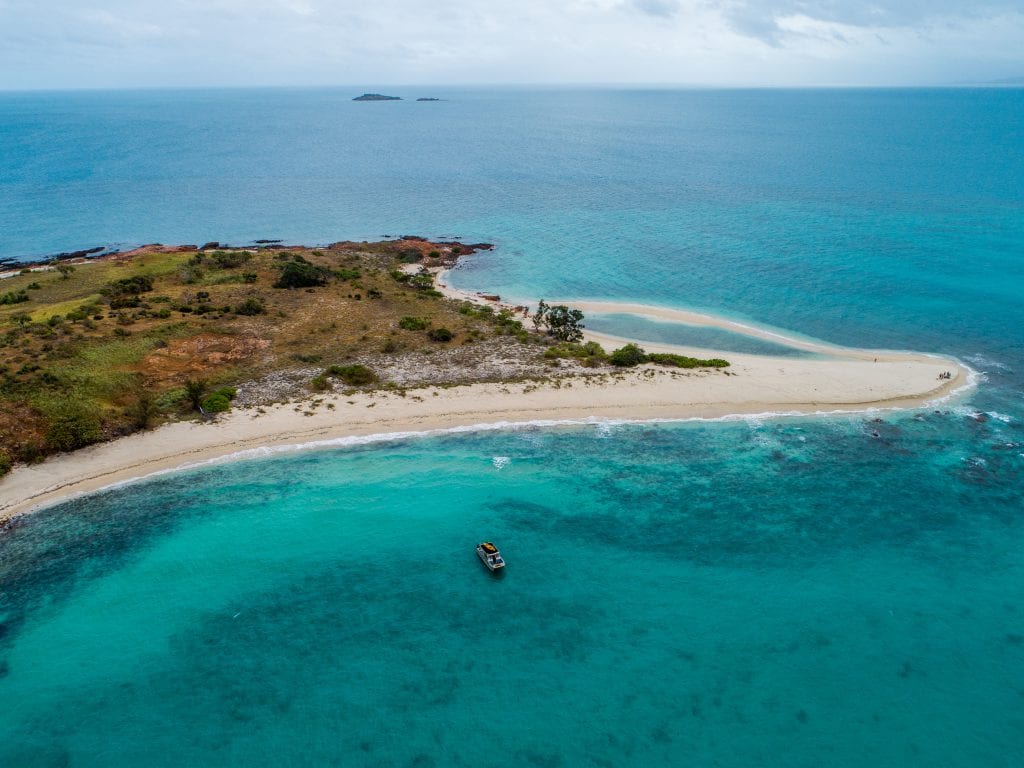
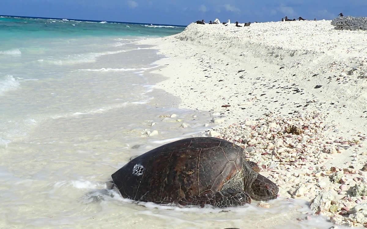
Up at the ‘top end’ along a stretch of remote coastline on the Cape York Peninsula, Queensland, Australia’s largest nesting population of Flatback turtles (Natator depressus) and the rare Hawksbill turtle (Eretmochelys imbricata) can be found.
Every year local rangers face the difficult task of carrying out a daunting count and survey. Working with the local environmental monitoring groups, local Indigenous rangers in the past have trekked as much as 250km through some of the country’s most remote and inaccessible coastline to carry out a turtle head count.
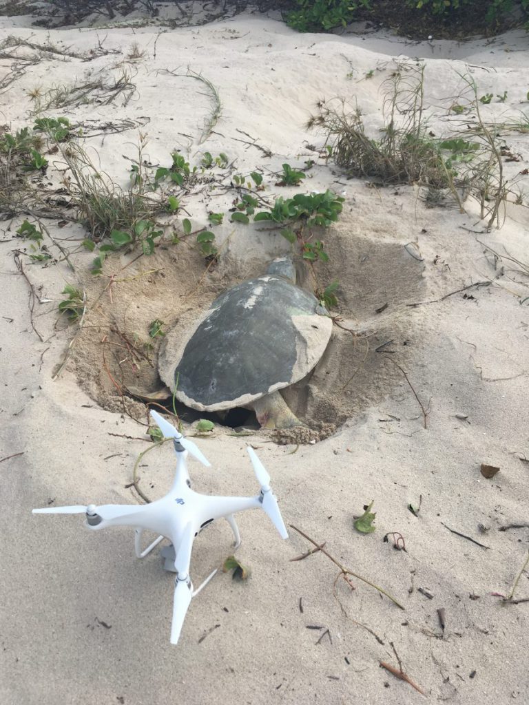
This year the rangers were able to trial drones to help them locate turtle nests much quicker, making the task of protecting these vulnerable nests from predators faster and more effective.
A Cairns based conservation group, Western Cape Turtle Threat Abatement Alliance (WCTTAA) joined forces with Cairns-based company drone/UAV services company Droner, to help in the effort to improve turtle protection measures.
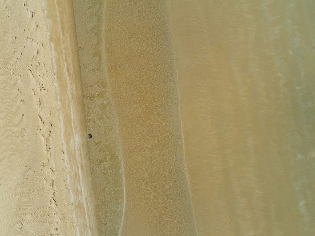
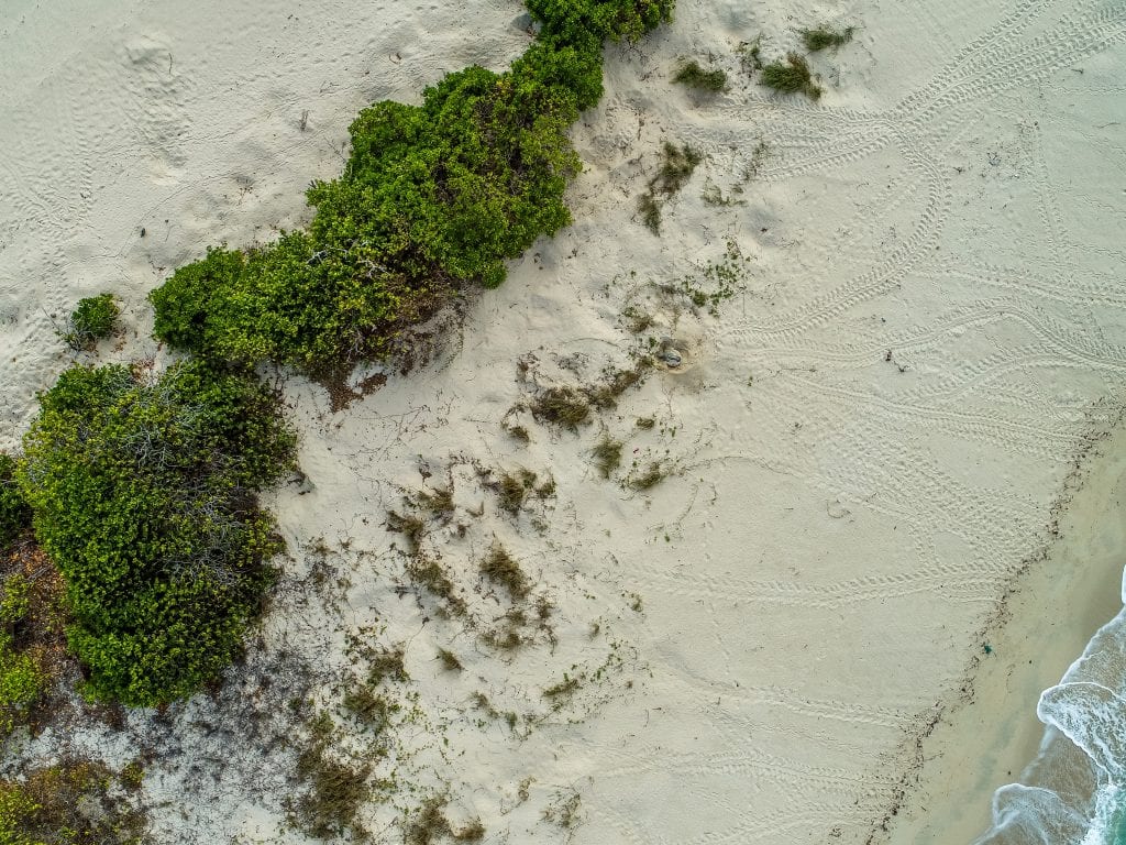
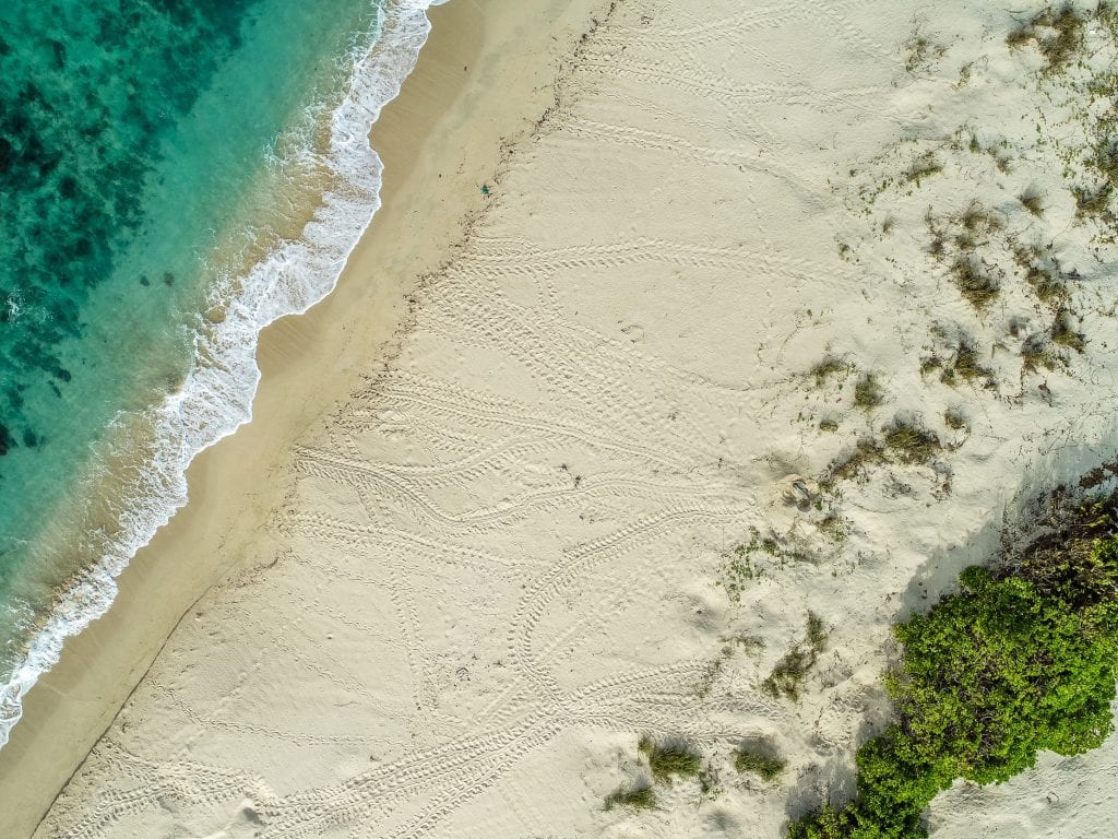
Western Cape Turtle Threat Abatement Alliance, dedicated to the rehabilitation of sick or injured turtles, works closely with a number of organisations and agencies involved with the conservation of sea turtles and their habitats. Program coordinator Kerri Woodcock says rangers are now able to use images from the drones to gain an aerial picture of the search areas, and identify levels of activity much quicker by counting turtle tracks.
Kerri says rangers are able to use the different turtle track characteristics left in the sand to determine species and numbers of marine turtle nesting sites, and also monitor and record nest predation and hatching events.
Pilot Tom Watson, from Droner, said the images and information gathered by the drones gave rangers the tools they needed to more effectively target their time and resources during the survey. He says once the images are captured the rangers can identify the turtle tracks and the species of turtles that are nesting there.
- Image Credit: Tom Watson / Droner
- Image Credit: Tom Watson / Droner
- Image Credit: Tom Watson / Droner
- Image Credit: Tom Watson / Droner
- Image Credit: Tom Watson / Droner
- Image Credit: Tom Watson / Droner
- Image Credit: Tom Watson / Droner
- Image Credit: Tom Watson / Droner
- Image Credit: Tom Watson / Droner
- Image Credit: Tom Watson / Droner
Tom says they basically make a polygon around certain beach areas and the rangers were able to help work out the pre-programmed flight paths before the drones were deployed into the air, and then he says “the software runs itself.”
Armed with that information, rangers can ensure more resources are put into protecting nests from feral pigs, a major threat to turtle populations on the beaches.
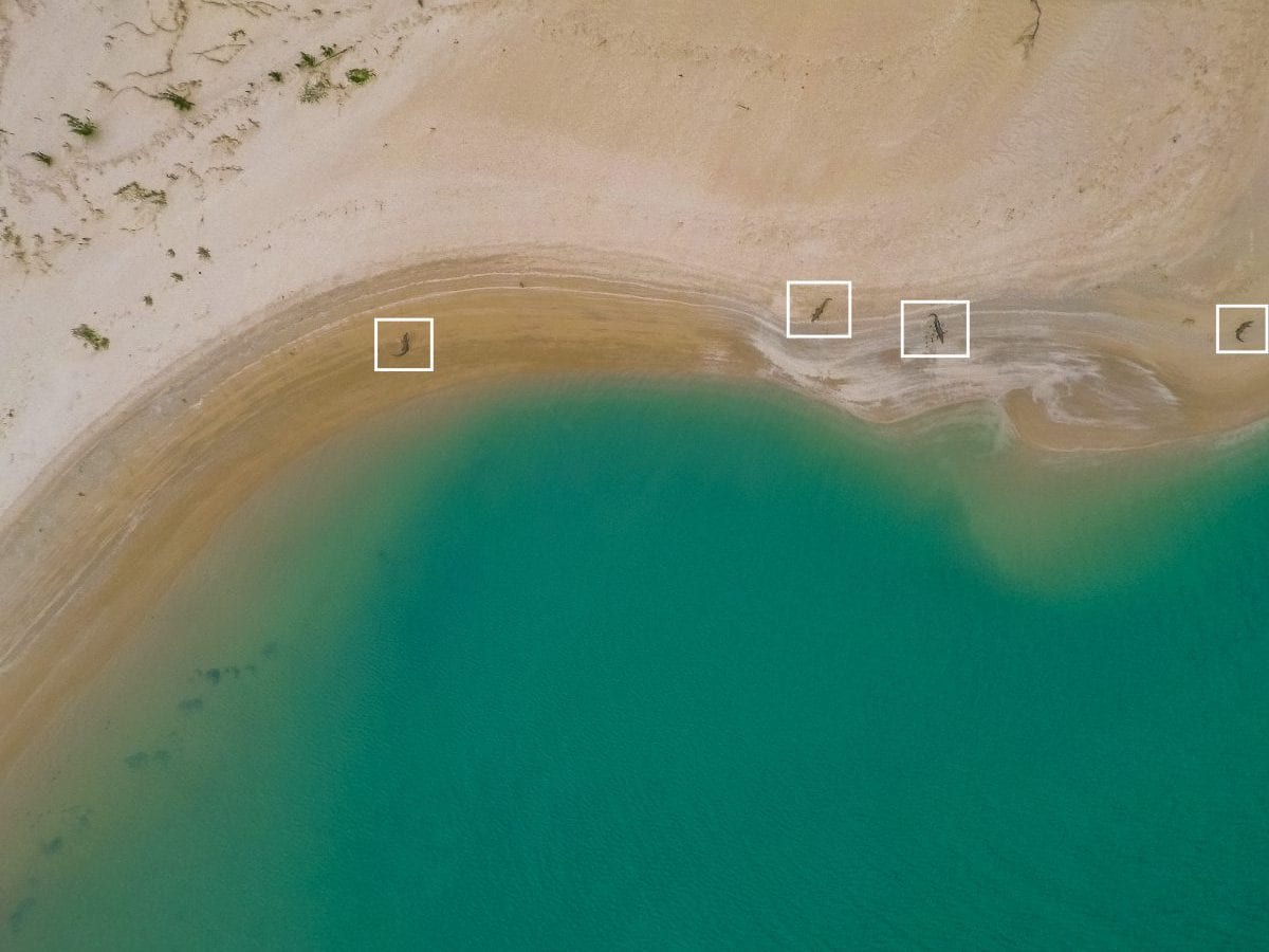
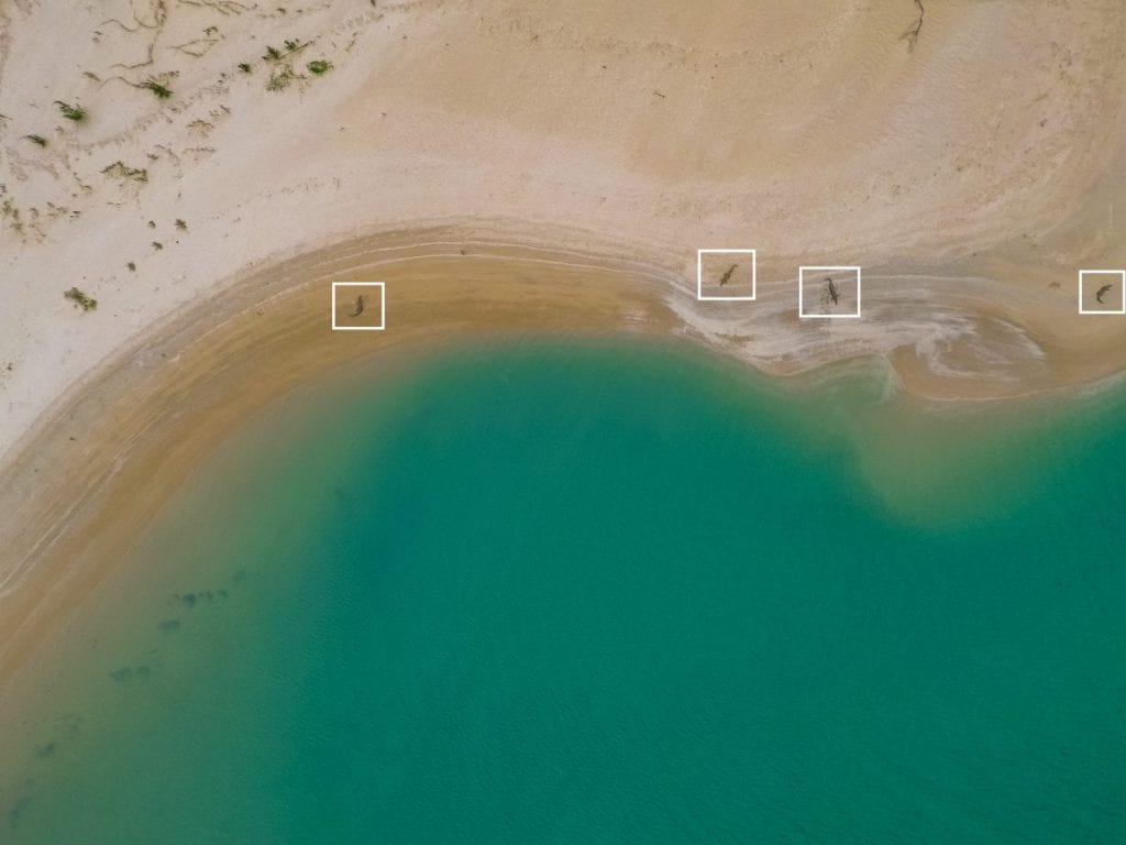
Ms Woodcock says the main focus of rangers on the western cape is monitoring predation rates on those nests, and they would only need to launch a drone onto the beach if a particular nest needed protection.The drones can also be used to monitor feral pig tracks and provide useful information for culling programs. Large crocodiles are also common in this area and the drones were also an important tool for improving ranger safety.
Tom Watson says the remoteness of the area created some challenges particularly when it came to setting up the drone and establishing the software.
The drones used were DJI Phantom 4 Pro, DJI Mavic, Parrot Disco.
Future funding for the project will depend on the results and how they compare to the ground surveys. A final report is currently being completed on the outcomes of the drone trials and will be made available on the WCTTAA website on completion (www.capeyorknrm.com.au/wcttaa).
The project is funded by the Nest to Ocean Turtle Protection Program, which is a joint initiative of the Australian and Queensland Governments. WCTTAA is supported by Cape York NRM.

