Energy & Utilities
Vodafone Trials 4G Drones at BCN Drone Center to Establish Aerial Coverage Model
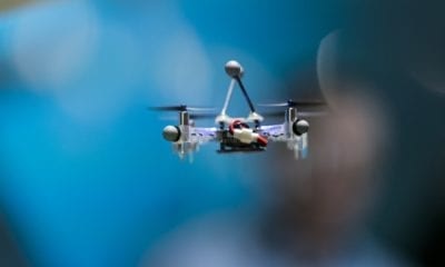
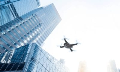
Drone flights are revolutionizing the world of data network and communication in a novel approach at a pilot programme by Vodafone.
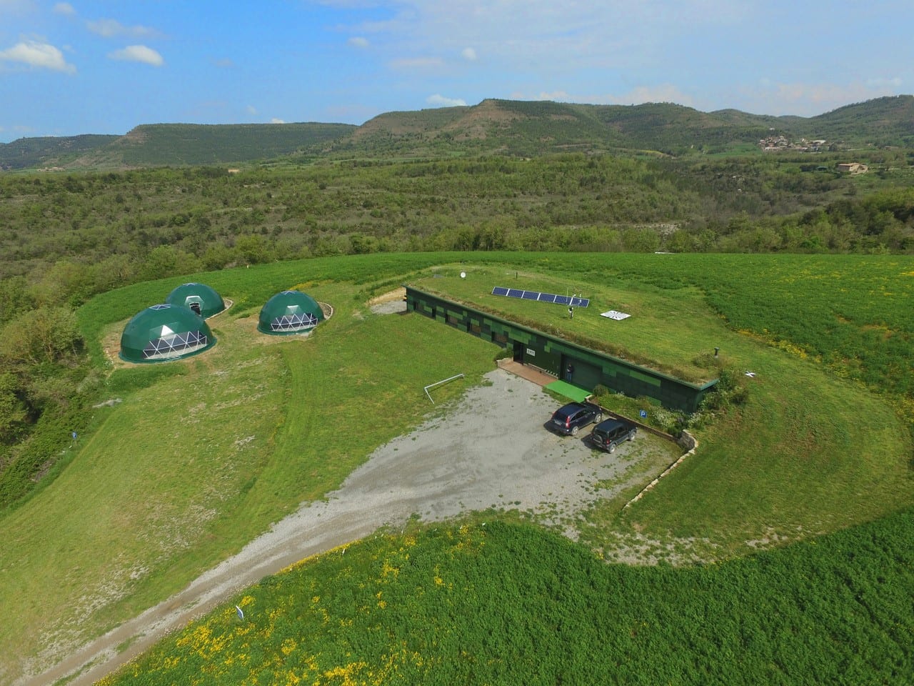
Vodafone has conducted a 4G drone pilot at BCN Drone Center in Moià with the aim of defining a model of aerial coverage that allows the massive use of drones beyond the line of sight in a safe environment. Ahead of the launch of its 5G networks Vodafone conducted this pilot at the BCN Drone Centre with the aim of guaranteeing the future connectivity of drones equipped with 5G SIMs, as well as their geolocation and remote control in real time using the Vodafone network. Thus these drones will have the capability of landing in restricted areas such as airports or aerodromes, said the company.
This pilot programmes’ success means multiple and organized drone flights will be feasible in the same air space below 400 feet (120 meters- since currently mobile networks only offer coverage at ground level) in the near future.
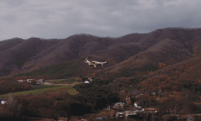
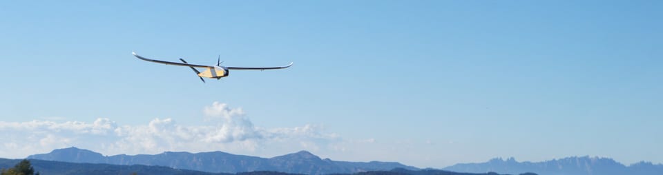
The flight tests were held at different altitudes in order to model the aerial coverage. The emissivity patterns of the antennas will be fine-tuned in order to ensure capability of thousands of simultaneous drone flights.
Vodafone added that its 5G networks will eventually be able to connect thousands of drones simultaneously and guarantee their stability. The company cited figures estimating that by 2050 drones flying at altitudes of up to 400 feet will represent 250 million flight hours, compared to only 33 million hours for manned aircraft.
First operator to control a drone through the network
Vodafone was the first operator to control and position a drone using the mobile telephony network using RPS (Radio Positioning System) technology, which allows a very accurate estimation of the position of the SIM without the collaboration of the drone, providing an alternative source to the conventional GPS based coordinates reported by the aircraft. Thus adding robustness and protection against possible attempts to forge or disable the GPS signal. The RPS system is a technology protected by Vodafone and published for free use by third parties, in order to accelerate the development of this sector by other players in the industry without any consideration.
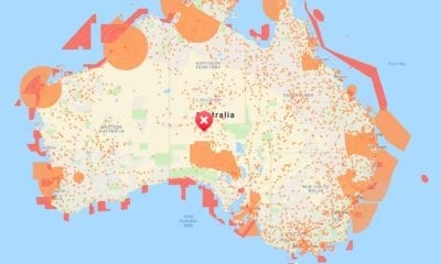
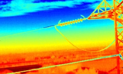
This solution will allow safe use of drones in different sectors of economic activity such as: logistics, fleet management and transport, agriculture, border surveillance, critical infrastructures, fields of potential economic growth in the coming years.
This technological advance would allow having a solution to open and liberalize the management and use of drone traffic for professional activities; an aspect on which the European institutions have been working for years to find the balance between the development of the drone sector on a massive scale and the necessary safety in air traffic.
Earlier this year Vodafone announced the start of 5G trials in the cities of Madrid, Barcelona,
Valencia, Bilbao, Malaga and Seville, just a few days after acquiring 90 MHz of spectrum in the 3.6-3.8 GHz band.