News
Drones As Tools For Small Scale Radiation Surveys
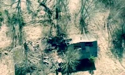
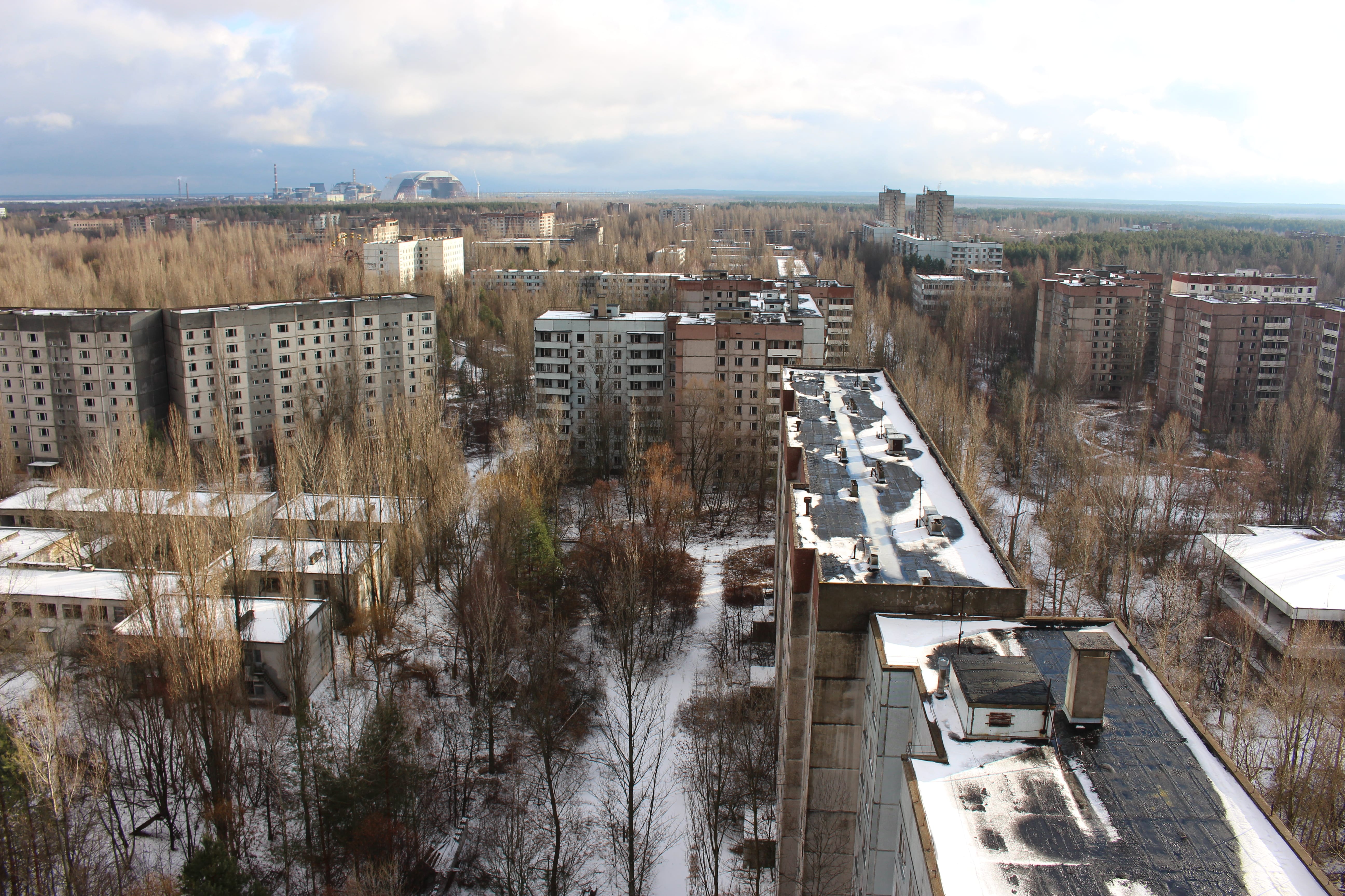
A UAV was deployed by the Federal Office for Radiation Protection (BfS) and tested in the Chernobyl exclusion zone back in September 2016, subsequently a group of authors in a paper that aims to explore the possibilities of drones used as tools for small scale radiometric surveys.
The total cost of this system is significantly below 10,000 Euros which includes a detector, a data acquisition system as well as the UAV. However, what’s important to note is that the system is very mobile, easy to set up and operate in the field. As such, its results are plausible, easy to interpret and the spatial resolution of the gamma dose rate is surprisingly high, as researchers have found.
Small Scale UAVs And Their Range: What Kind Of Materials Were Used In This Project
The general theory is that a small scale UAV has a range of about 250 meters in each direction, scanning areas under optimal conditions and with automatic flight control systems. The authors knew this and used the following materials and methods when carrying out the study:
- A DJI Flamewheel F550 hexacopter UAV with a maximum flight time of 15 minutes and one pack of batteries
- A Ritec detector named µSPEC, CZT quasi-hemispherical detector with a crystal size of 1500mm³.
- A data logger that includes Raspberry Pi 2 Model B, CPU: 900MHz quad-core ARM Cortex-A7 CPU, 1GB RAM, WiFi USB-stick, additionally uninterrupted power supply, optionally LTE stick. Power supply comes from the UAV rechargeable batteries.
- A GPS unit named Blox NEO-7M GPS mouse for GPS/QZSS with GLONASS position determination
- A standard smartphone data communication unit for the Raspberry Pi, a tablet and a laptop
- A software that combines measurement from detector and from GPS, checks the incoming data, checks status of the system, handles user interfaces (status LED, beeper, web-interface) and initiates data transfer, is written in C and has been developed by BfS in-house.
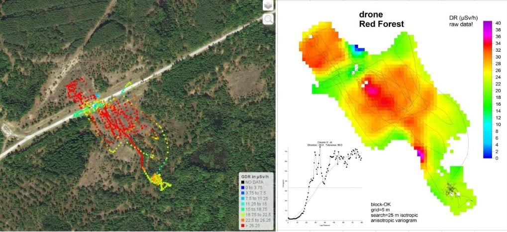
Gamma spectrum from the μSPEC detector at the site “Red Forest”
The Materials & Methods Used And The Findings
The general discussion, as the results of this combination of materials and methods show, is that the UAV with the detector has been used and tested in the Chernobyl exclusion zone in September 2016, during which the hexacopter recorded the gamma dose rate every 2 seconds and saved a complete gamma spectrum every 10 minutes.
As the authors noted:
“The gamma dose rate measurements in the heavily contaminated area of the “Red Forest”, about 4.5 kilometers west of the reactor, showed gamma dose rate values of maximal 40 µSv/h. This area has been used to compare the data from the UAV with ones acquired by a calibrated automess probe, both in an altitude of one meter above the ground. This comparison demonstrated that the UAV measurements are plausible, especially for higher (> 0.3 µSv/h) dose rates. Moreover it showed that the measured gamma dose rate depends relatively little on the altitude between 3 and about 15 meters over a large scale contamination field.”
To sum things up, the authors have pointed that the spatial resolution of the gamma dose rate is surprisingly high, and the detector could even detect the lower gamma dose rate values above the asphalt street in the measurement region during the flights. The other investigated areas show significantly lower gamma dose rates.
Conclusion
The general conclusion of the authors is that the use of UAVs for radiometric surveys and source search is promising and a viable complement to traditional airborne reconnaissance for small areas. As such, it is an alternative to ground-based surveys in case of high radiation levels or difficult access.
“Due to their low price, it is possible to deploy several UAVs at the same time. This will reduce the overall measurement time and in case of technical problems, would the continuation of the mission with the spare UAVs. The easy technique of a modern UAV can even be handled by staff or scientists who do not use it on a daily basis,” the authors concluded.
Citation: Luff, R., Stöhlker, U., & Bossew, P. (2017). Unmanned aerial vehicles (‘drones’) as tools for small scale radiometric surveys. International joint conference RADIO 2017: Goiania 30 years later, Brazil – https://inis.iaea.org/search/search.aspx?orig_q=RN:49034175