News
University of Kentucky Samples Stratosphere Using Drone Glider
With the aim of using unmanned drones to study and better predict weather about 15 miles above the Earth’s surface, researchers at the University of Kentucky are using drones to get a unique look at the Earth’s atmosphere.
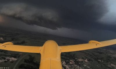
In a first of its kind study an unmanned aerial vehicle (UAV) is being used to collect aerial data and weather data from 80,000 feet above.
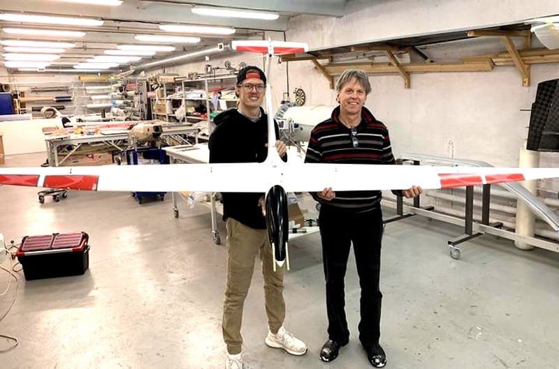
UK PhD. candidate Travis Schuyler and project team member from the University of Kentucky is getting it done by sending a drone high up into the atmosphere using weather balloons!
Schuyler says, “The balloon gives you the extra energy up and the UAV, it cuts out a lot of operational costs. It also allows for enhanced sampling and the UAV cuts a lot of operational costs and also is the best source for enhanced sampling also announced for enhanced sampling.” The sampling can then be used for weather forecasting by improving the models. While most commercial airplanes fly at around 30,000 to 50,000 feet high, while Schuyler’s drone can make its way all the way up to 80,000 feet above ground.
“Right now we have ground stations and satellites that do a good job, but there is a gap where drones could fill in that data with much higher density that could improve those models,” Schuyler said. And while this research comes with some challenges, Schuyler is hoping this type of data collection with drones, will someday become more common in the United States.
Speaking to Adam Burniston from WKYT Schuyler explained, “There is a gap that drones could fill with much higher intensity and improve those models. The drones went way up to 80000 feet that’s just over 15 miles up into the atmosphere. There are challenges-you have to build a device that can go up to -70 degree Celsius for instance which is quite cold this would mean really low pressures to operate at.”
According to Schuyler this study received assistance from NASA and the National Science Foundation. The challenges are being worked upon and Schuyler who hopes this type of data collection with drones will become much more common in the coming years.
“It’s a matter of time and working with organizations like NASA and The National Science Foundation as we have has really helped us move that along,” Schuyler said.