A Thermal-Sensing Drone for Citizen Science Research
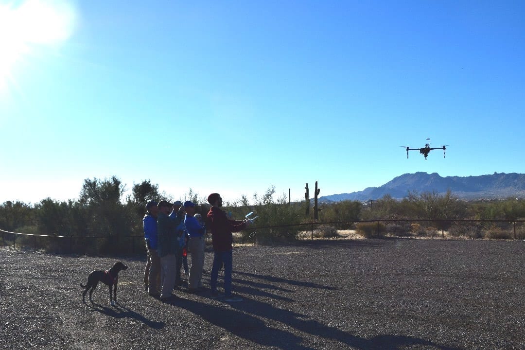
New developments in low-cost and widely accessible drones have tremendous potential. Now, drone-based projects on science activism are being launched to radically transform the existing mechanisms for citizen science data collection, its scientific analysis, and its study for broader impacts. A workshop comprising scientists, policy makers, and volunteers in a local nature conservation group, explored the challenges and opportunities of using thermal-sensing drone technology in citizen science efforts with the theme – ‘Design Implications and Future Work’ through a series of test flights and co-design. The group calls itself citizen scientist volunteers.
On a practical level the findings reveal three concrete directions for future projects to incorporate aerial imagery into existing citizen science monitoring projects at the preserve, focusing on water, wildlife, and invasive species monitoring.
In a paper describing proposed tests and findings by this citizen scientist volunteer network, authors Heesun Kim, Kyle Hoefer, Alejandra Rodriguez Vega and Stacey Kuznetsov at Arizona State University, Tempe, AZ present Drogon, a thermal-sensing drone, which was used in an initial data gathering and co-design workshop. Additionally it reflects on higher-level design opportunities and challenges for working with drones in a citizen science context, including systems for expertise sharing amongst citizen scientists and platforms for collecting, analyzing and sharing drone-based data.
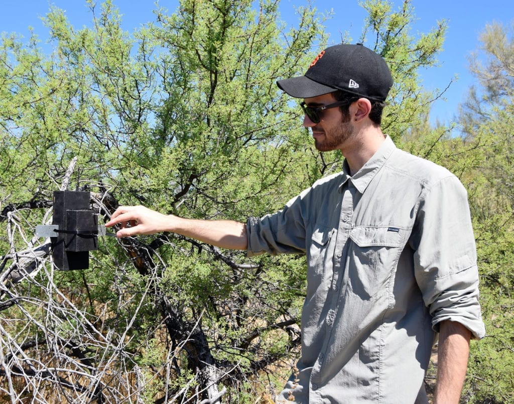
Current conservation endeavors include microphone boxes collecting long term psychoacoustic data.
Citizen science has a long history and recent breakthroughs in DIY (do it yourself) methods, low-cost technologies, and social media platforms that have led to new forms of scientific participation and civic engagement.
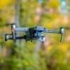
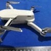
Drogon is a custom-built drone which allows the payload to be customized for the users’ specific application and is based on the DJI Matrice developer model that utilizes a modular base system. The drone’s capabilities currently include a gimbal stabilized 4K DJI Zenmuse camera while simultaneously running one of our two FLIR infrared cameras hand-wired to receive power from Drogon’s battery.
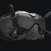
The FLIR Duo Pro contains both a thermal lens as well as digital lens, blending the two for a “critical edge” overlay on thermal images and videos, allowing the observer to distinguish the smallest details from hundreds of feet in the air.
The Duo comes with spot detection and records surface temperatures for each pixel captured in-flight in radiometric JPEG format. FLIR Tools, free post-processing software, supports manipulation of radiometric JPEG images and videos. A temperature threshold may be set so that each image only displays areas of a certain temperature, all while selecting spot points to compare and contrast certain locations in that scene. If desired, this data list may be sent out in a CSV data file for other processing (e.g., using MatLab).
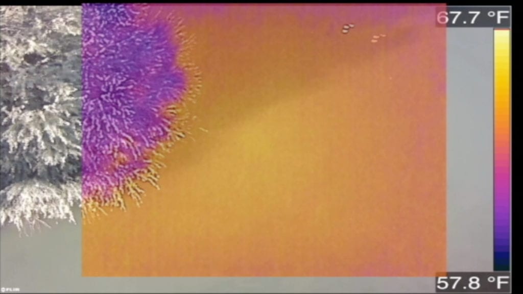
Thermal imaging overlays digital imaging from the FLIR Duo camera
Water Conservation
Water was one of the key concerns shared by all participants during the workshop because of the preserve’s fragile desert ecosystem.
Applying the drone in monitoring efforts in order to map ephemeral water- because wildlife in the desert is adapted to finding what water is available. Participants proposed collecting survey images after periods of rainfall to monitor water retention and flow using the existing thermal camera, as well as regular aerial images to refine the data and obtaining software to create high-contrast color images of the target areas. Data processing alongside volunteer observations on the ground was proposed for deeper insights into research questions around water and wildlife conservation.
Wildlife
The workshop discussed, “how does human use affect the deer movement through the area?” Participants developed a project workflow around this question beginning with flying the drone over heavily-trafficked trails to document the usage of that trail for humans versus deer. Following consistent flights and robust occupancy results, volunteers suggested an algorithm that includes time of day, time of the season, and the actual weather responses to help attach that traffic volume information to each deer location and help in analyses that we normally do for roads all the time. The proposed drone in this instance would allow easy large-scale surveying. The collected data could be analyzed to develop new trail policies based on specific deer movement and predict the ideal place for a human trail and the requisite buffer around it.
Plants
Park volunteer participants reported that much of the current conservation work focuses on removing invasive species of plants before they can negatively impact the ecosystem. Drone flyovers could be used to observe variation in grasses, equipped with multiple cameras to view different spectral signature or heat or standard color too. With these combinations of sensors and proper flight planning for effective data collection, aerial imaging could greatly increase the rate of invasive plant removal from protected areas.
Future
Moving forward citizen science projects will be implemented across the three areas suggested by the stakeholder community. Privacy issues and public concerns associated with aerial mapping of the Preserve will also be explored. New interfaces are expected to be developed to scale and generalize other citizen science efforts, including a plug-in for easier flight path planning to target data collection sites; data sharing applications that produce geo-referenced aerial images that could be superimposed over other GIS (map) data of the preserve; and mechanisms for more broadly sharing the findings with policy makers and the general public.
This work presents a critical first step towards applying design research to envision drone based citizen science data collection, scientific analysis of the gathered information, and the broader impacts of drone-based projects on science activism.
Citation: Heesun Kim, Kyle Hoefer, Alejandra Rodriguez Vega, and Stacey Kuznetsov. 2019. Drogon, the Thermal-Sensing Drone: Exploring Aerial Imagery as a Tool for Citizen Science Research. In Companion Publication of the 2019 on Designing Interactive Systems Conference 2019 Companion (DIS ’19 Companion). ACM, New York, NY, USA, 213-217. DOI: https://doi.org/10.1145/3301019.3323910