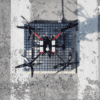
UK Drone Rises to Fukushima Nuclear Challenge
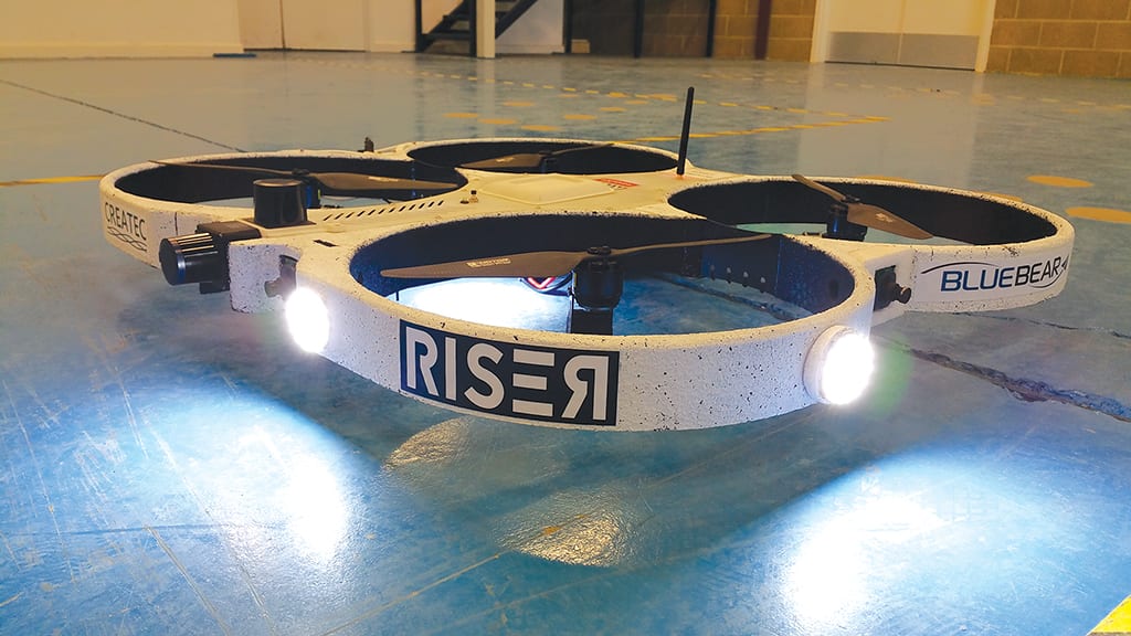
A small drone developed in the UK with assistance from research and development funding from the Nuclear Decommissioning Authority will be used to map radiation levels at the damaged Fukushima nuclear power plant. The lightweight RISER drone – which stands for Remote Intelligence Survey Equipment for Radiation – is able to navigate autonomously inside areas impervious to GPS signals such as nuclear power plants and other hazardous facilities.
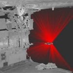
Created by UK company Blue Bear Systems Research in collaboration with Createc Ltd, the RISER drone goes where others cannot, using a laser scanner and high definition cameras to detect radiation and create 3D maps which it then uses to navigate the facility in question. The system has already been used successfully at Sellafield, a nuclear decommissioning site on the coast of the Irish Sea in Cumbria, England. After a fire over 60 years ago in 1957, it’s one remaining Windscale Pile chimney still gives off high levels of radiation. RISER has been used to remotely establish what methods may be used to effectively clean and dismantle the chimney.
The NDA’s Head of Technology, Professor Melanie Brownridge, stated in a press release last year that, “These facilities are highly radioactive, we often don’t fully know exactly what’s inside, how best to open them up safely or remove the waste. That’s one of the issues we constantly face with structures built so many decades ago: no-one gave much thought to how they would be dismantled and, often, no-one has done it before. This makes it challenging and also ideal for innovation.”
Developed using funding sourced through the NDA and fellow government agency, Innovate UK, the RISER comprises two innovative technologies, the drone itself as well as radiation mapping software.
- RISER Drone | BueBear Systems
- N-Visage Radiation Imaging | Createc
The RISER drone is under one metre in diameter, can be flown both indoors and in dark conditions, and has a dynamic object avoidance technology. Weighing less than 5kg, it has a 20 minute flight time, and transmits data to the mapping system to clearly display highlighted areas of contamination.
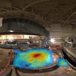
The radiation mapping software project, known as N-Visage™ Gamma Imager, was developed by Createc following a financial boosted in 2009 during startup with a £50,000 investment from the NDA’s R&D portfolio. Featuring full 360 degrees gamma imaging, it can produce high-definition 3D imagery of the contamination and is therefore ideal for using in complex radiation clean-up operations. It was used for the first time inside one of the reactor buildings at Japan’s Fukushima-Daiichi plant several years ago, and is now set to return working in tandem with the drone.
Brownridge is excited about the chance to put RISER into action at Fukushima. “We are thrilled to see RISER put to work in Japan, and delighted that our early-stage support for the N-Visage system enabled Createc to develop its potential further,” she said.
In a time when clean up of past mistakes is imperative, Brownridge says the RISER Project is a example of the importance of innovation funding. “The subsequent collaboration with Blue Bear, again funded by the NDA through an initiative with Innovate UK, led to RISER. This shows the importance of funding innovative ideas through their journey from the drawing board to the market – not just for the NDA’s decommissioning mission but for the wider UK and overseas economy.”

