All posts tagged "Geospatial"
-


News
Ordnance Survey Developing Solar Powered, High Altitude Pseudo Satellite Drone
February 15, 2019Mapping organisation Ordnance Survey plans to launch a solar-powered drone to capture higher quality images of...
-


Construction & Mining
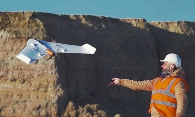
Delair and Trimble to Support High-Precision PPK Drone Data
January 22, 2019Delair, a leading supplier of commercial drone solutions, has announced interoperability of high-precision data acquired from...
-


News
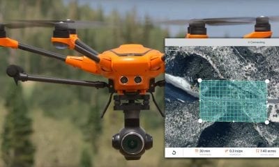
3DR Yuneec Partner Found Joint Venture on Dronecode Platform
September 6, 2018The new venture, 3DR Government Services, offers a secure, complete UAS solution for U.S. government customers.
-


Construction & Mining
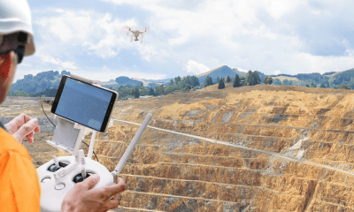
Komatsu, Propellor Aero Partner to Bring Drone Analytics to Construction Industry
August 3, 2018With drones becoming an increasingly common worksite tool, Komatsu has identified aerial mapping and analytics as...
-


Construction & Mining
Drone Harmony’s New Mission App is Revolutionizing Cell Tower Inspection
July 20, 2018In early July, Drone Harmony released its 3D automatic mission planning Android app, which also forms...

