
All posts tagged "LIDAR mapping"
-

Autonomous
CSIRO’s Underground Drone Spin-Off Receives $3.5 Million Funding
November 7, 2018Drone tech innovations are making working environments safer in high risk industry. For example underground or...
-
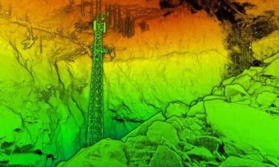
LiDAR
Korean LiDAR Startup SOS Lab Raises $6M
October 11, 2018SOS Lab, a Korean startup company that develops LiDAR equipment for future autonomous vehicles, has completed...
-
News
Hangar and Dronebase Team Up to Provide World’s Largest Pilot Network
September 19, 2018Hangar Technology, the world’s first end-to-end platform for 4D Visual Insights, and DroneBase, the largest global...
-
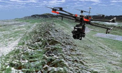
LiDAR
Researchers Map the San Andres Fault Using Drones and LiDAR
June 21, 2018Understanding the San Andreas fault is of paramount concern in earthquake-prone southern California, which experiences frequent...
-
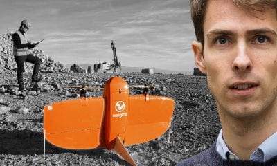
Back to Base (B2B)
Aerial Mapping with WingtraOne Drone and Maximilian Boosfeld, Co-Founder, Wingtra
April 17, 2018Swiss UAV manufacturer Wingtra, develop, produce and commercialize drones that combine the ease of use of...


Back To Base (B2B)
