All posts tagged "Mapping"
Industry
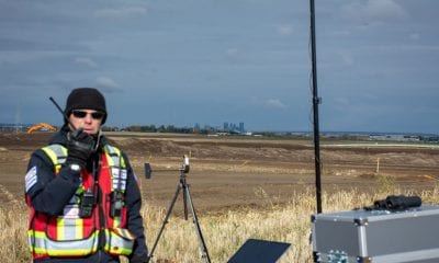
IN-FLIGHT Data and senseFly Break Multiple BVLOS World Records
March 10, 2019Dedicated effort involving drones has resulted in groundbreaking BVLOS project- a collaborative between IN-FLIGHT Data and senseFly...
News
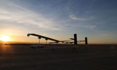
Ordnance Survey Developing Solar Powered, High Altitude Pseudo Satellite Drone
February 15, 2019Mapping organisation Ordnance Survey plans to launch a solar-powered drone to capture higher quality images of...
Energy & Utilities
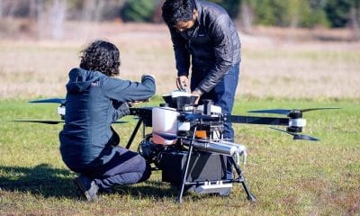
Hyundai Invests in Top Flight, Takes Off Into Drone Space
November 16, 2018South Korean carmaker Hyundai is joining forces with Boston drone startup Top Flight in a bid...


The Drone Wire
Airobotics Announces $30M Investment in Pilotless Drone Solution
October 31, 2018Leading Israeli automated drone startup Airobotics has announced a $30M Series D round of funding bringing...


LiDAR
Korean LiDAR Startup SOS Lab Raises $6M
October 11, 2018SOS Lab, a Korean startup company that develops LiDAR equipment for future autonomous vehicles, has completed...

