
All posts tagged "Mapping"
-

LiDAR
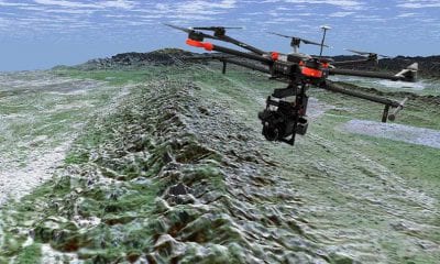
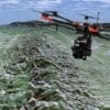
Researchers Map the San Andres Fault Using Drones and LiDAR
June 21, 2018Understanding the San Andreas fault is of paramount concern in earthquake-prone southern California, which experiences frequent...
-
AI
Delair Expands Drone Mapping and Surveying Solutions to Canada in Deal with Cansel
June 20, 2018Delair, a leading global supplier of commercial drone solutions, today announced an agreement with Cansel, a...
-
Construction & Mining
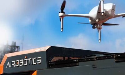
Airobotics Does it Again: Joins Wall Street Journal Top Tech Company to Watch
June 14, 2018Airobotics, the Israel and Australian-based industrial drone company that was named by Fast Company earlier this...
-
Industry
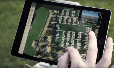
Drone Deploy’s Live Thermal Maps Provide Immediate Insights – But Only for iOS Users
June 13, 2018A first-of-its-kind live thermal mapping feature for drones has been released by drone software company DroneDeploy,...
-
Drone Hive
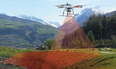
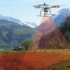
What is LiDAR and Why is it Important for Drones?
June 12, 2018The Advanced Aerial Technology That Is Paving the Way for 3D Mapping, Self-Driving Cars and More...


Back To Base (B2B)
