Industry
New Parrot Drones for Thermal Imaging and Agriculture
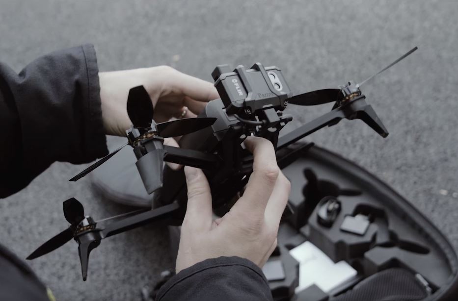
Parrot announced a pair of new mid-range professional drones on Tuesday. The two devices have very specific jobs and therefore are supposed to fill in the gap between expensive industrial offerings and consumer drones.
Parrot Bebop-Pro Thermal – The All-in-One Drone Solution for Thermal Imaging
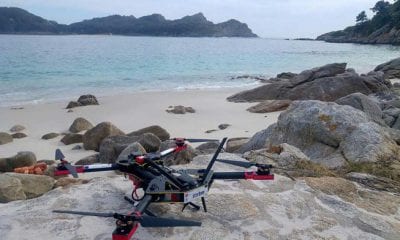
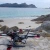
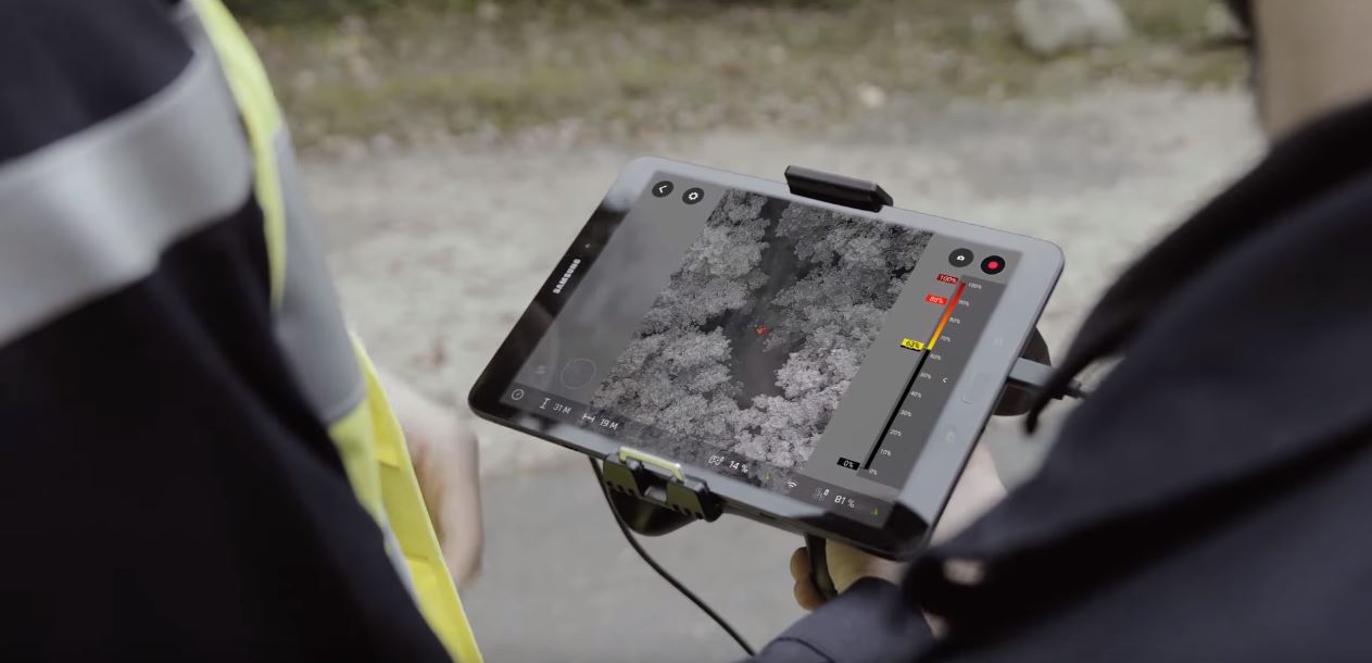
The $1,500 Parrot Bebop-Pro Thermal is designed for construction, inspection, and public safety workers. In addition to search and rescue, both cameras may also be used to observe what places are still too hot after a fire, or where heat is escaping from a roof.
The new Bluegrass drone utilizes a front-facing camera along with sensor for precision agriculture. It can fly for 25 minutes on one charge, covering 30 hectares of property. If a harvest is healthy the drone feeds back footage into a companion program. It provides farmers a complete overview and allows them to detect problem areas in all sorts of harvest fields efficiently and quickly, thanks to its multispectral sensor constructed for Precision Agriculture, Parrot Sequoia, along with the platform that is simple to use processing cloud – AIRINOV FIRST+.
https://www.youtube.com/watch?v=MyQyp_wwpoc
Parrot is trying to appeal to commercial operations which aren’t large enough to warrant spending money on larger, more elaborate devices. This new line is priced at $5,000 and under, and are meant to be as simple to use as consumer drones while including cameras and software that industrial drones offer.
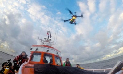
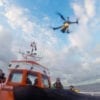
That price point might be especially useful for public security agencies, which don’t have as much funding as big corporations. The idea of using drones in public safety is not new. Parrot has been working closely with public safety workers in France to find out the best ways a drone will help during an emergency. In 2016, flooding was experienced by portions of Paris. Parrot worked together with the local Fire and Emergency Department to deliver drones out to track water levels.