News
SPH Engineering Updates Drone Fleet Management Software
SPH Engineering recently announced the release of UgCS and its mobile companion’s UgCS for DJI update, adding support for YUNEEC H520 and MavLink2, perfecting mission editor tools and KML import. Along with the update, UgCS centralized drone management solution for command centers enables UgCS for DJI to stream video and telemetry to a remote UgCS instance via a secured connection.
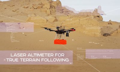
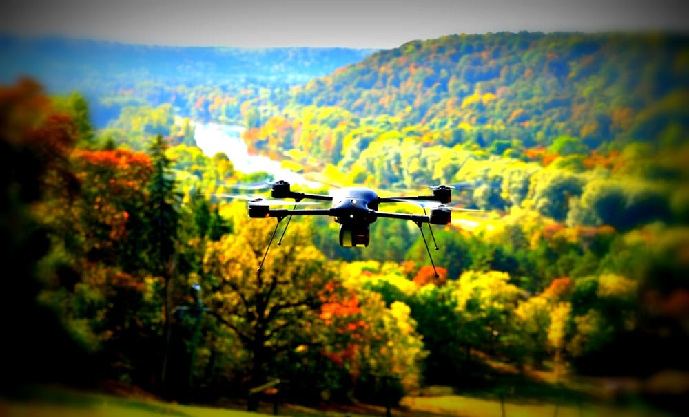
UgCS is a complete platform developed by SPH Engineering to plan and fly drone survey missions. Automated drone mission planning, built-in photogrammetry and geotagging tools, map customization and battery exchange option for long routes make UgCS an effective solution for professional applications. UgCS is a unified mission planner for all popular UAV platforms to control and monitor one or multiple drones on a single mission, in multi operator mode or multi-platform environment for Command centers. SPH Engineering offers unmanned systems integration services: building, acquiring and consulting on the selection of airframes, autopilots, payloads for a particular application and performing proof of concept projects and software development.
UgCS centralized drone management solution for Command centers
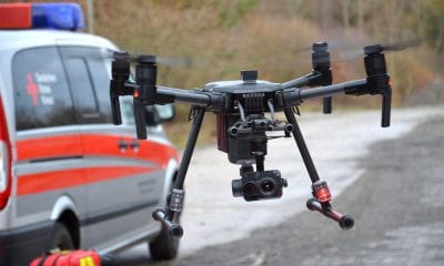
UgCS centralized drone management solution enables command centre operators to track real-time position of the drones used in-field on the map and simultaneously receive live video streams. Command centre operators can mark points of interest on the shared map to indicate locations for field drone operators for the purpose of detailed inspection or even can take manual control over the drone and its camera.
These added operations provide more flexibility to mission editor for drone mission planning. This enables easy route conversion from the pre-calculated into an editable waypoint route for single waypoint adjustment. It also allows for the split of the route manually or by distance into separate routes or to merge several routes into one and to invert the route.
“UgCS for command centres enables effective UAV integration into emergency and security command centres. UgCS and drone usage during dangerous operations or at hard to reach areas provides a live preview of the situation not only to personnel in-field, but for officers at the command centre. This enables more precise situation assessment, decision making and effective management of first responder teams, providing more efficient resolution of disaster situation or even saving lives.”, said Janis Kuze, SPH Engineering sales director.
The UgCS CSV/KML data import tutorial amply demonstrates the upgrade of import functionality that enables to import KML files not only as “Area Scan” or “Photogrammetry” but also as “Perimeter”. UgCS for DJI update improves the connection and video transmission to UgCS desktop. Added manual focus options for DJI X5 camera and Airlink configuration settings has also been developed. The support for YUNEEC H520 drone has been added to offer UgCS to a broader commercial market. Support for MavLink2 is added to grant higher flexibility and security to MAVLink communication.