News
Wingtra Launches WingtraOne – New Benchmark in Drone Photogrammetry
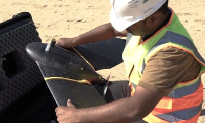
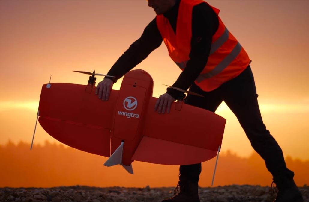
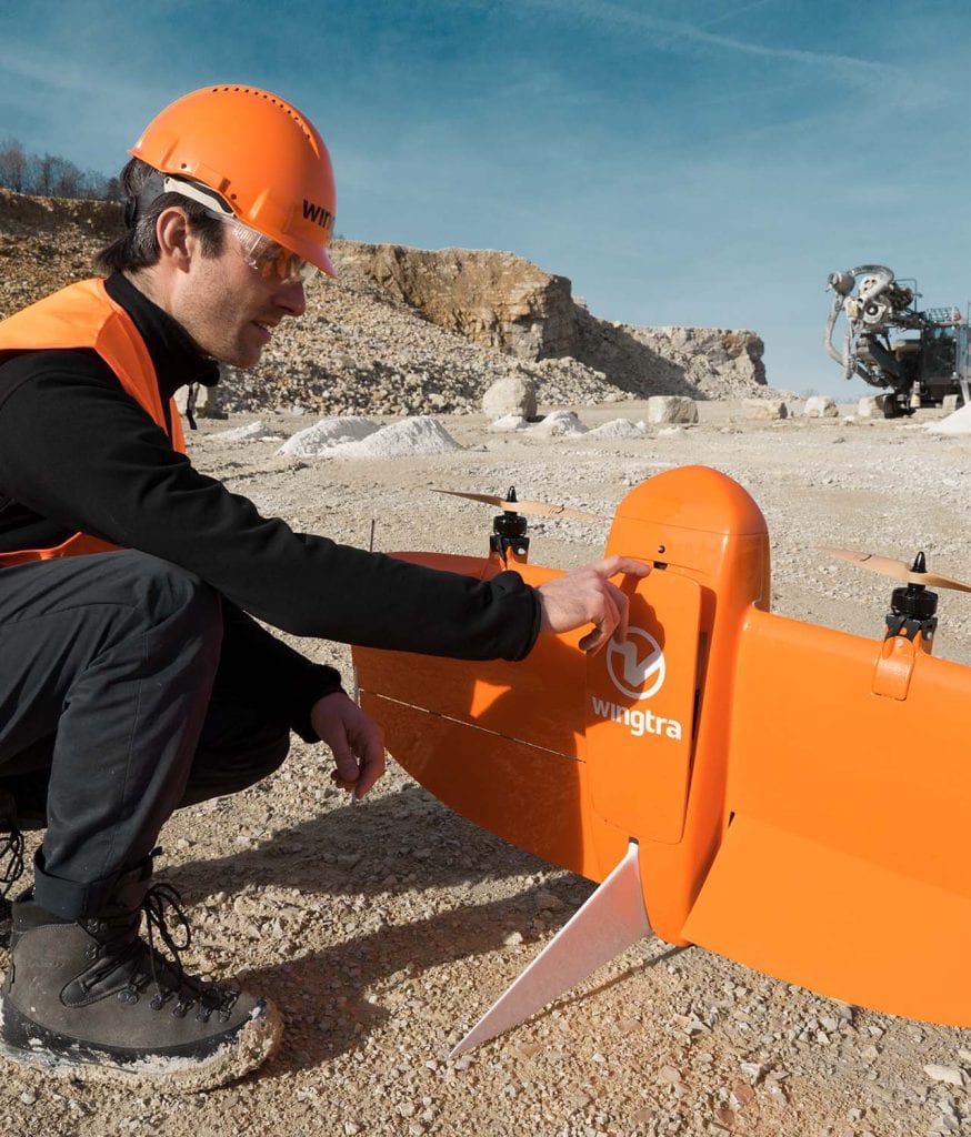
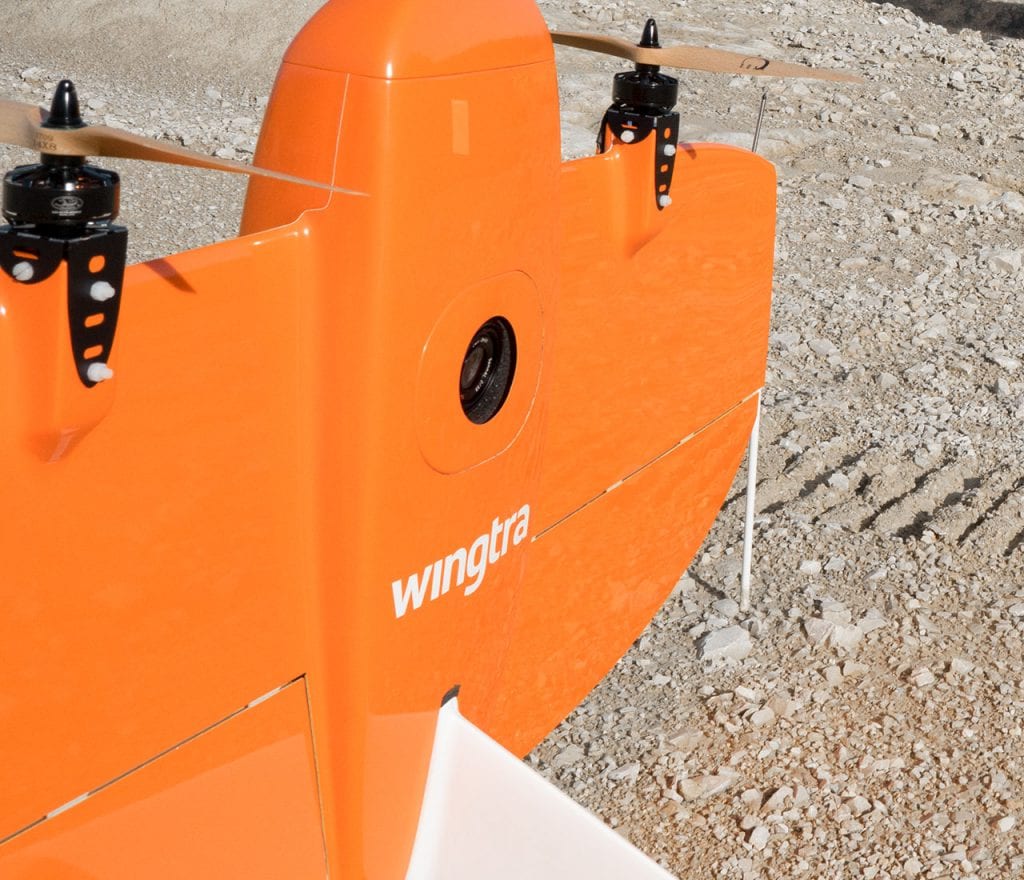
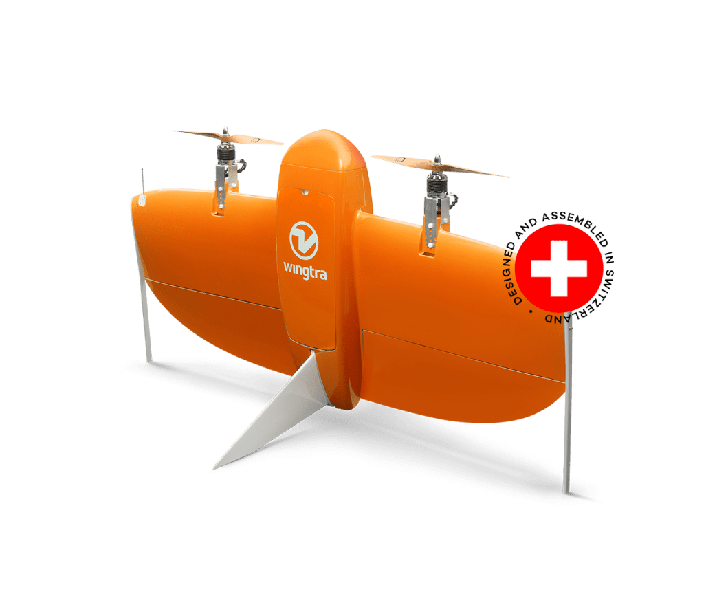
Swiss drone / UAV manufacturer Wingtra has announced the launch of its WingtraOne PPK (Post-Processed Kinematics) UAV.
With the help of partners – photogrammetry program supplier Pix4D as well as the GNSS board and PPK provider Septentrio – WingtraOne PPK has now been able to deliver orthomosaic maps and 3D models with an absolute accuracy down to 1 cm (0.4 in).
“With the latest update, our drone WingtraOne PPK can provide something that has never been observed before in drone photogrammetry – wide coverage and high resolution at ultra precise accuracy. For instance, at a single one-hour flight, the WingtraOne can pay for 130 ha (320 ac), which is equivalent to 240 soccer fields and send maps in GSDs below 1 cm/px (0.4 in/px) with absolute accuracy down to 1 cm (0.4 in)”, explains the CTO of Wingtra Armin Ambühl.

These results are new to the industry – professionals could never reach such accuracy with any of the broad-coverage drones. Until now drone mapping was mainly dominated by two kinds of drones: fixed wings and multirotors. Fixed wings can cover huge areas but lack the ability to provide precision data. On the flip side, multirotors can deliver high accuracy but they only map small areas. Vertical take-off and landing signifies hands-free operation and a smoother ride to the on-board detectors. Second, efficient flying in fixed-wing mode signifies much greater coverage than any similar multirotor.”
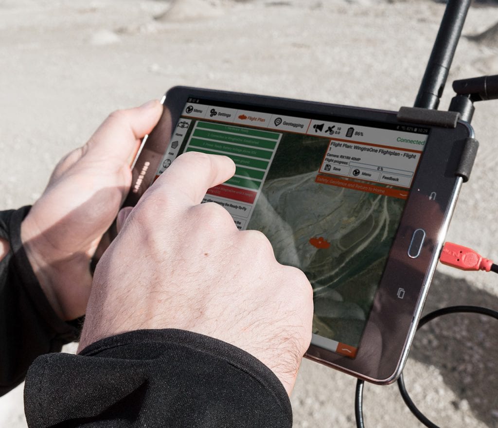
Post-Processed Kinematics — PPK — allows the WingtraOne to achieve a new level of precision. PPK calculates ultra-precise geolocations for each picture by mixing the GNSS information with correction data from a nearby benchmark recipient.
“We are truly excited to reach such unprecedented precision results. WingtraOne’s high payload capacity makes it possible to incorporate the highest quality sensors: the Sony RX1RII and latest Septentrio PPK system. An RMS error of 1.3 cm (0.5 in) horizontally and 2.3 cm (0.9 in) vertically with no ground control points is a significant leap forward in efficient aerial mapping, saving hours around the area”, states Ambühl. “We are extremely pleased to offer these high resolution and high precision WingtraOne system for the demanding surveying industry.”
After the aerial data collection, Pix4D post-processing applications steps in as a powerful tool to generate orthophotos and 3D models from the geotagged pictures. Ambühl remarks that “later post-processing the data, results become observable — the orthomosaics and 3D models are extremely detailed and enable very precise calculations”.
Wingtra team anticipates WingtraOne PPK to become the most desirable drone in surveying and mapping applications. Maximilian Boosfeld that the COO of Wingtra adds:
“Our unique VTOL technology has already helped us build a firm position in the marketplace with applications ranging from cadastral surveying of Africa’s largest Uranium mine to digital elevation modelling of Alpine locations. With the combination of VTOL capacity and the PPK, we see a clear advantage over the current aerial surveying alternatives. I believe that WingtraOne will generally replace fixed-wings in big coverage mapping missions in the long run as we have just set the new industry benchmark in drone photogrammetry.”
Technical Specifications
WingtraOne
Drone type Tailsitter VTOL (Vertical take-off and landing)
Weight (empty) 3.7 kg (8.1 lb)
Max. payload weight 800 g (1.8 lb)
Wingspan 125 cm (4.1 ft)
Battery capacity 98 Wh (a pair of batteries required)
Radio link 8 km (5 mi), bi-directional antennas for optimal range
Operation
Operational cruise speed 16 m/s (35.8 mph)
Wind resistance Up to 45 km/h (12 m/s, 28 mph) in cruise, up to 30 km/h (8 m/s, 18 mph) for landing
Maximum flight time 55 minutes
Min. space for take-off and landing 2 m × 2 m (6.6 ft × 6.6 ft)
Designed Temperature Range * -20° C to 50° C (-4° F to 122° F)
Ground Control Points required No (with PPK option)
Results
Coverage at 120m (400ft) ** 320 Ha (790 ac)
Max. coverage *** 45 km² (17 mi²)
Minimal ground sampling distance **** Down to 0.7cm / pixel (0.3 inch/pixel)
Mapping accuracy with PPK (w/o GCPs) Absolute accuracy (RMS): Horizontal: 1.3 cm (0.51 in); vertical: 2.3 cm (0.91 in)
Relative accuracy: 0.003 % (horizontal)
* tested and warranted temperature range -10°C to 40°C (-14°F to 104°F) ** 2.8 cm/pixel (1.1 in/pixel), WingtraOne QX1 + 15mm *** max. reconstructable area, 2500m (8200 ft) flight altitude, WingtraOne QX1 + 15mm **** For WingtraOne RX1RII. For WingtraOne QX1 1.4 cm/px (0.6 in/px)
Source: http://www.wingtra.com/drone/