LiDAR
Drones and LIDAR to Evaluate New Zealand’s Landslide Risk
Experts will investigate New Zealand’s landslide risk in a five-year study which is estimated at a cost of $8 million.
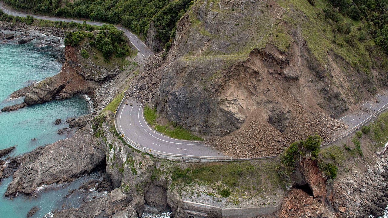
Scientists at GNS Science hope the study will reveal the length of time it takes for a landscape to recover after a major event such as the magnitude 7.8 Kaikoura Earthquake in November 2016.
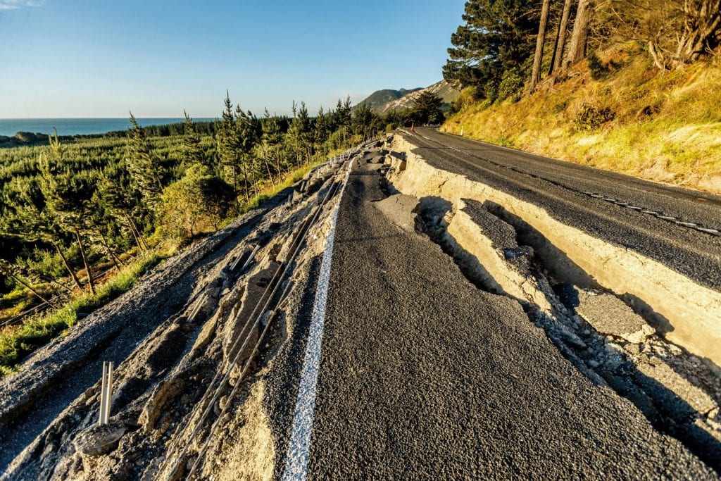
This quake triggered tens of thousands of landslides across an area of 10,000sq km, and caused major landslips on the State Highway 2 and blocked almost 200 large, steep valleys.
Heavy rain associated with cyclones such as Fehi and Gita are also known to trigger large land slips and the landslip risk is also exacerbated by roadside land clearance where trees are removed and steep roadside cuttings made, along with the added element of water from leaking drainage pipes.
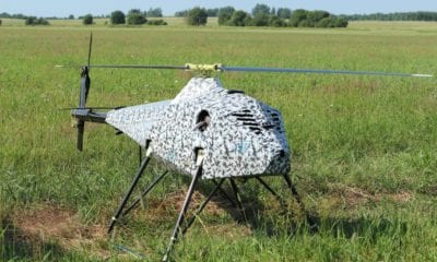
As part of a new initiative, researchers plan to use drones in the skies above Auckland to reveal the threat landslides pose to many parts of the city.
Dr Martin Brook from the University of Auckland says not all landslides involve ‘fearsome avalanches of rock and debris’, but are sometimes ‘small and slow-moving’ masses, which nevertheless have the potential to wipe out a backyard, threaten homes and influence the value of property.
Dr Brook and his team will use drones to examine closely how land is shifting on 10 slopes in different parts of Auckland; he says they already know in areas such as Avondale, parts of the North Shore, East Coast Bays and the Orakei Basin, that the water builds up under the soil on these slopes, it soaks into the soil, hits a barrier such as clay or hard rock, and is prevented from soaking further down.
Dr Brook says more rain adds to the water pressure within the spaces between individual soil particles and eventually, the sodden soil begins to move down the slope, creating a landslide and gradually taking along with it anything built on it.
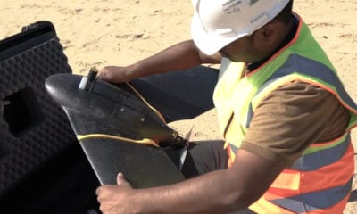
The researchers say that detailed images captured by the drones will be fed into software that will create 3D models of the ground and these models will then be compared to laser-generated LIDAR data, revealing how much the ground has shifted. LIDAR, which stands for Light Detection and Ranging, is a remote sensing method that uses light in the form of a pulsed laser to measure ranges (variable distances) to the Earth.
According to Dr Brock this will mean data collection will be more economical which will allow readings to be collected four times a year – this should provide a far better picture of how fast the ground on a slope is moving. He adds that the scans could also be cross-checked by taking regular photos that compared the ground to a fixed point such as a fence or lamp post.
Such data will be important to councils, developers and homeowners in order that they can take action before a landslide happens and is also important information for people wanting to use the land.
Dr Brook says the research team includes Auckland Council geotechnical scientists and they will be looking at the data and the techniques used to assess whether this approach might be more widely utilised around the city.
Dr Hugh Cowan, EQC resilience general manager, says landslide research is important for New Zealand as EQC regularly receives more claims for landslide damage than any other natural hazard, and the new information could be particularly crucial for those areas that may be opened up for future housing development.
Experts believe a better understanding how big quakes from major faults such as the Wellington Fault and the South Island’s Alpine Fault could trigger landslides, could in the future help planners design safer road routes.