Industry
Soil Sampling with Drones for Precision Agriculture
Most of the modern farming and agricultural work is carried out by machines operated by people. Because of intensive farming methods in mechanized agriculture, farmers lack hands-on experience with sensing the condition of the field. The growth of crops during the season is preferable to be monitored continuously throughout the year, which is why remote monitoring systems are proposed. Satellite imaging data is mostly delayed and not available during the current season.
The equipment that would best fit the application for remote monitoring and sensing should be conveniently remote and have easy mobility. What could such equipment be? Tractors, Jeeps, Robots, how about drones?
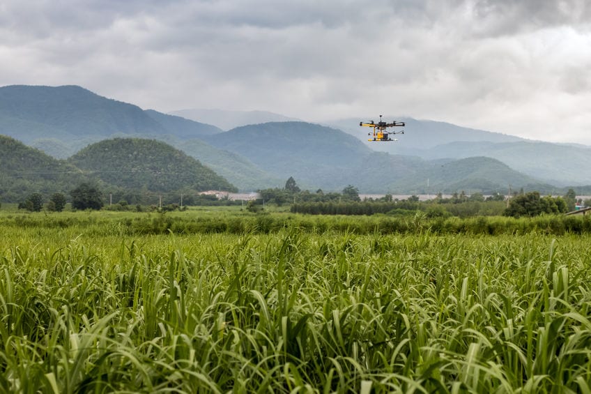
Unmanned Aerial Vehicles (UAVs) are autonomous drones that can be programmed to operate as per a defined pattern. With widespread potential applications in agriculture and farming as well as intensive research currently being carried out to make usage of drones more and more effective in the agriculture and farming department.
Precision Agriculture is a means of farming and agriculture management based on observing, measuring and responding to crop conditions continuously. Precision agriculture refers to the way farmers manage crops to ensure efficiency of inputs such as water and fertilizer, and to maximize productivity, quality, and yield. The term also involves minimizing pests, unwanted flooding, and disease.
The journal publication, ‘Soil Sampling With Drones And Augmented Reality In Precision Agriculture‘ by Janna Huuskonen and Timo Oksanen from the Department of Electrical Engineering and Automation at Aalto University in Finland is aimed at creating a practically and theoretically feasible model that utilizes drones and augmented reality in precision agriculture. The objectives in this publication, stated by the authors are as follows;
- To study a relevant application of augmented reality in agriculture in practice,
- To find requirements for drone imaging to acquire valid data for soil mapping,
- To study the chain of actions to create soil sample points automatically, and,
- To study specific user interface requirements for augmented reality view in the application of assisted soil sampling.
The authors of the paper describe their usage of drones and augmented reality as,
- Drones: With drones, imaging is possible in cloudy conditions whereas satellite-based imaging is limited in these situations. However, operating with drones requires more effort both in pre-flight phase, flying and the post processing of images than satellite-based imaging. Nonetheless, with satellites, the resolution unit of images is in meters whereas drone imaging has a higher resolution in centimetre-level.
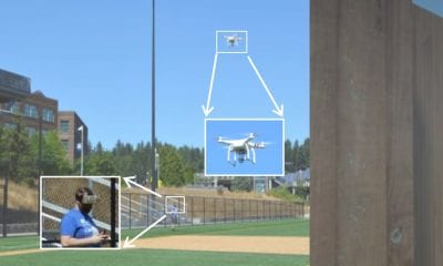
- Augmented Reality: Augmented Reality (AR) is the technology of superimposing virtual objects upon the real world. The virtual content is not limited to visual objects as AR can be used on other senses as well . The benefit of augmented reality is being able to give a user information that is unavailable to their senses and help them perform real-world tasks.
So how is this done? How do you use Augmented Reality to operate drones that would carry out precision agriculture?
Simplifying the working of the entire methodology as an easy step-by-step is as below.
Primary tillage with crop residue covered > Aerial imaging with drone > Image processing and forming management zones > Walk with AR headset and collect soil samples > Laboratory analysis > Soil map.
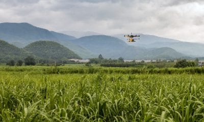
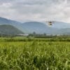
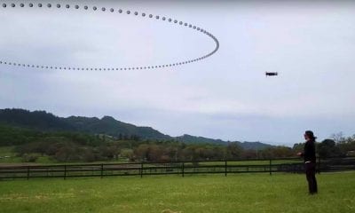
A DJI Phantom 4 Pro was used with autopilot (DroneDeploy), first of all scouts around the field and observes the condition of the crops in the field. Using its algorithms, it processes the recordings or live feed using image processing technology. The results of this processor are simulated in wearable Augmented Reality glasses that would display information about the farm to a farmer as they walk around wearing those glasses. A laboratory analysis of these results then helps the formation of a soil map.
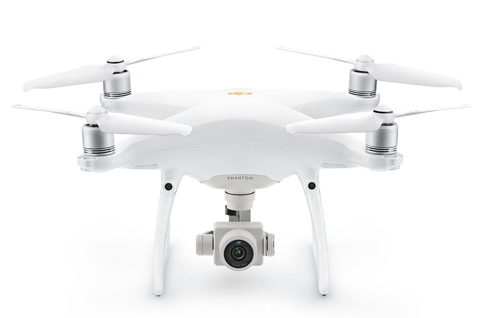
DJI Phantom 4 Pro – DJI
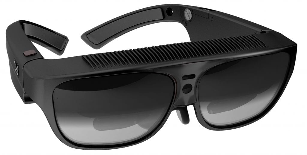
Osterhout Design Group (ODG) R-7 – the world’s most advanced Augmented Reality (AR) Smartglasses
Observations and Conclusion
In imaging with drones, it was discovered that the soil moisture must be consistent, and the lighting condition must be such that the soil reflection corresponds to the colour; so the sensors installed in the drone must be sophisticated enough to collect a lot of data and the processor in the drone must be programmed well enough for accurate image processing.
Observed by the authors, the user interface of the AR application was feasible and guided the user to all the sample areas. It was possible to collect sample points while using the application.
It can therefore be said that the journal presents an actually feasible solution that accurately utilizes drones programmed to be integrated with augmented reality for precision agriculture.
Citation: “Soil sampling with drones and augmented reality in precision agriculture“, Janna Huuskonen, Timo Oksanen, Computers and Electronics in Agriculture, Volume 154, 2018, Pages 25-35, ISSN 0168-1699, https://doi.org/10.1016/j.compag.2018.08.039 | http://www.sciencedirect.com/science/article/pii/S0168169918301650