News
UH Hilo Scientists Monitoring Lava with Drones
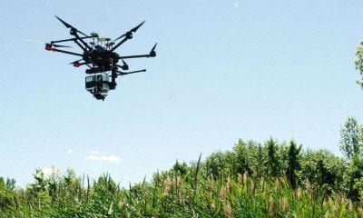
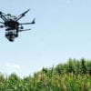
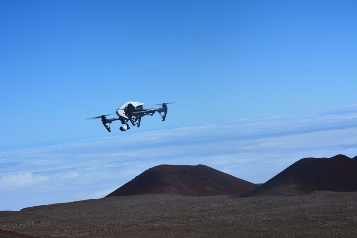
As lava began flowing in lower Puna in May, Hawaii County Civil Defense contacted University of Hawaii at Hilo Geography and Environmental Science Associate Professor Ryan Perroy. Civil Defense enlisted the help of his group, which uses drones to capture high-resolution mapping of different land forms.
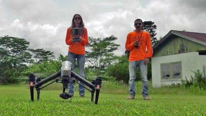
A group of undergraduate and graduate students led by Ryan Perroy are piloting unmanned aerial vehicles day and night capturing thermo and regular imagery of the lava flows and providing critical information to the government agencies overseeing the eruption response.
At that time, Civil Defense was worried about pinpointing the exact locations of the advancing lava. “We can get that sort of overview, overhead shot, and relay that information very quickly to the incident commanders and fire responders,” Perroy said.
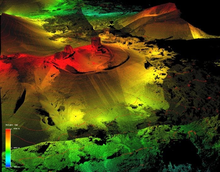
LiDAR imagery of Maunakea
UH Hilo Volcanologist Cheryl Gansecki, assisted by undergraduate students, is providing real-time chemical analysis of lava samples. The information helps government scientists determine how the lava will behave and how fast it will move. “The first time anybody is trying to do this, to really look at the chemistry at the same time the volcano is erupting,” said Gansecki adding, “We can do a really quick chemical analysis, we can look for tracers that tell us if anything is changing in the magma, in the system, and get that information back to HVO right away, usually within hours, or at least a day”.
UH Hilo technician Rose Hart and aeronautical sciences lecturer Roberto Rodriguez are part of Perroyʻs remote sensing geomorphology team, operating the drones and crunching data.
“The student participation I think has been—I imagine—invaluable for them,” said Perroy. “They are really seeing how this technology can be used to help. The longer-term scientific value of the data that we’re collecting [is] that we can better understand these types of eruptions and maybe do a better job of predicting in the future.” He added.
Using autonomous ocean robots, an unmanned technology, to capture live ocean data close to the entry area with technology called Wave Gliders, scientists have the rare opportunity to study the effects of the lava entering the ocean, the plume it creates, and the interactions of the lava and seawater directly from the surface of the ocean. UH Hilo geologist Steve Colbert says “We don’t know how far and how deep that plume extends, or how it changes with oceanographic conditions or changes in the flow of lava. The Wave Gliders provide us the opportunity to answer these important questions.”
The data collected also will help scientists observe the impact of volcanic eruptions and lava flows on marine life (coral reefs and fish populations) and air quality affecting the Hawaiian Islands in real time.
UH Hilo has a longstanding relationship with the USGS Hawaiian Volcano Observatory and has been providing students with internships and other opportunities to engage in the monitoring of an active volcano for years.