News
TORUS Project Plans to Fly Drones into Tornadoes
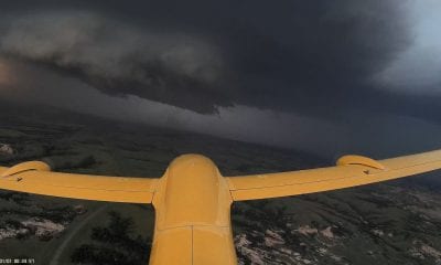
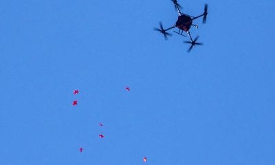
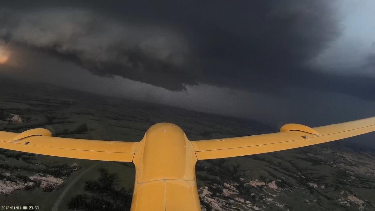
Mitigation and reduction of vulnerability to natural disasters like tornadoes and cyclones is a challenge embraced by technology as different solutions, sensors and mathematical models are devised just to understand the causes and sources of natural disasters. With the industrial emphasis on drone technology in recent times, research students from the University of Nebraska – Lincoln decided to initiate the development of airborne robots that were set to fly in tornadoes and cyclones to study the air’s dynamics in the tornado so that the phenomena behind it could be understood and utilized for mitigation of a potential disaster.
With more than 50 different scientists and students working in TORUS, Targeted Observation by Radars and UAS of Supercells, from four different universities, the objective of this research is to get drones to the inside of a storm that causes a tornado and compare the air dynamics with storms that do not turn into tornados; this is supposed to give insight to why a storm causes a tornado and what factors can be controlled to avoid tornado formation.
The TORUS project (Targeted Observation by Radars and UAS of Supercells) will be conducted by more than 50 scientists and students deploying a broad suite of cutting-edge instrumentation into the US Great Plains during the 2019 and 2020 storm seasons. Led by the University of Nebraska-Lincoln, TORUS also involves the University of Colorado Boulder, Texas Tech University, the National Severe Storms Laboratory, and the University of Oklahoma. TORUS instrumentation includes 4 unmanned aircraft systems (drones), 3 mobile radars, 8 mobile mesonets (trucks mounted with meteorological instrumentation), a mobile LIDAR (similar to a radar but using an eye-safe laser), 3 mobile sounding systems (balloon-borne sensor packages), and the NOAA P3 manned aircraft.
The University of Colorado-Boulder, Texas Tech University and the University of Oklahoma, along with the National Severe Storms Laboratory are participating in the research.
The study of tornadoes with drones is supposed to be done over a three-year period. To fund the cost of the equipment needed and operative iterations that are expected during the course of the project, National Science Foundation has arranged $2.4 million.
The Great Plains is a good laboratory for storm research because its wide open spaces provide good visibility, and the region has a good network of roads. And, despite research indicating a shift in tornadoes to the east, it remains a region of high tornado frequency.
The experimentation in the field starts from May 13, 2019. Following the date, different research teams will chase and study storms across the Great Plains from North Dakota to Texas, which sums up to 367,000 square miles.