Conservation
Drones Help Monitor Biomass Density, Carbon Stock, Make Forest Protection Pay
Drones are being used to monitor green cover or actually the carbon dioxide (CO2) stored in trees to help prevent deforestation and protect these carbon stocks by several agencies across the globe. Now drones will help countries receive monetary incentives for green cover protection. According to a report by Steve Gillman in the Horizon the EU Research & Innovation magazine, international financial institutions like the World Bank and the European Investment Bank provide developing countries with economic support to keep forests’ carbon stocks intact through the UN REDD+ programme.
The more carbon a developing country can show it keeps in its forests, the more money the government could get, which would give them a greater incentive to protect these lands. Hence tools for accurately determining carbon stored in their forests is essential.
Pedro Freire da Silva, a satellite and flight system expert at Deimos Engenharia, a Portuguese technology company says,” If you have a 10% error in your carbon stock (estimation), that can have a financial value,’ he said, adding that it also takes governments a lot of time and energy to collect the relevant data about their forests.
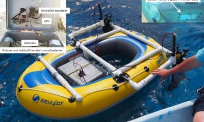
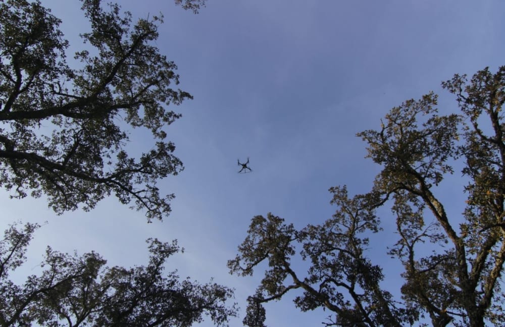
To address these challenges, a project called COREGAL has developed automated low-cost drones that map biomass. They put a special sensor on drones that fly over forests and analyse Global Positioning System (GPS) and Galileo satellite signals as they bounce back through a tree canopy, which then reveals the biomass density of an area and, in turn, the carbon stocks.
‘The more leaves you have, the more power (from GPS and Galileo) are lost,’ said Silva who coordinated the project. This means when the drone picks up weaker satellite navigation readings there is more biomass below.
COREGAL’s drones could end up enabling countries such as Brazil to access more from climate funds, in turn creating a stronger incentive for governments to protect their forests. Silva also believes the drones could act as a deterrent against illegal logging.
Dr Thomas Häusler, a forest and climate expert at GAF, a German earth observation company believes says that logging can cause huge collateral damage because loggers leave behind roads that local populations use to access previously untouched forests.
Demand for timber and agricultural produce from developed countries can also drive deforestation in developing countries because their governments see the forest as a source of economic development and then allow expansion.
The project combines high-resolution data from the European Sentinel satellites, available every five days through Copernicus, the EU’s Earth observation system, along with data from the North American Landsat-8 satellite.
Detailed maps on the current and past land use and forest situation to identify the carbon-rich forest areas are generated by automated processing using special algorithms.
This helps put a value on the most carbon-rich forest areas, meaning countries can access more money from international financial institutions. The project is almost finished and they soon hope to have a commercially viable system for use.