Brands
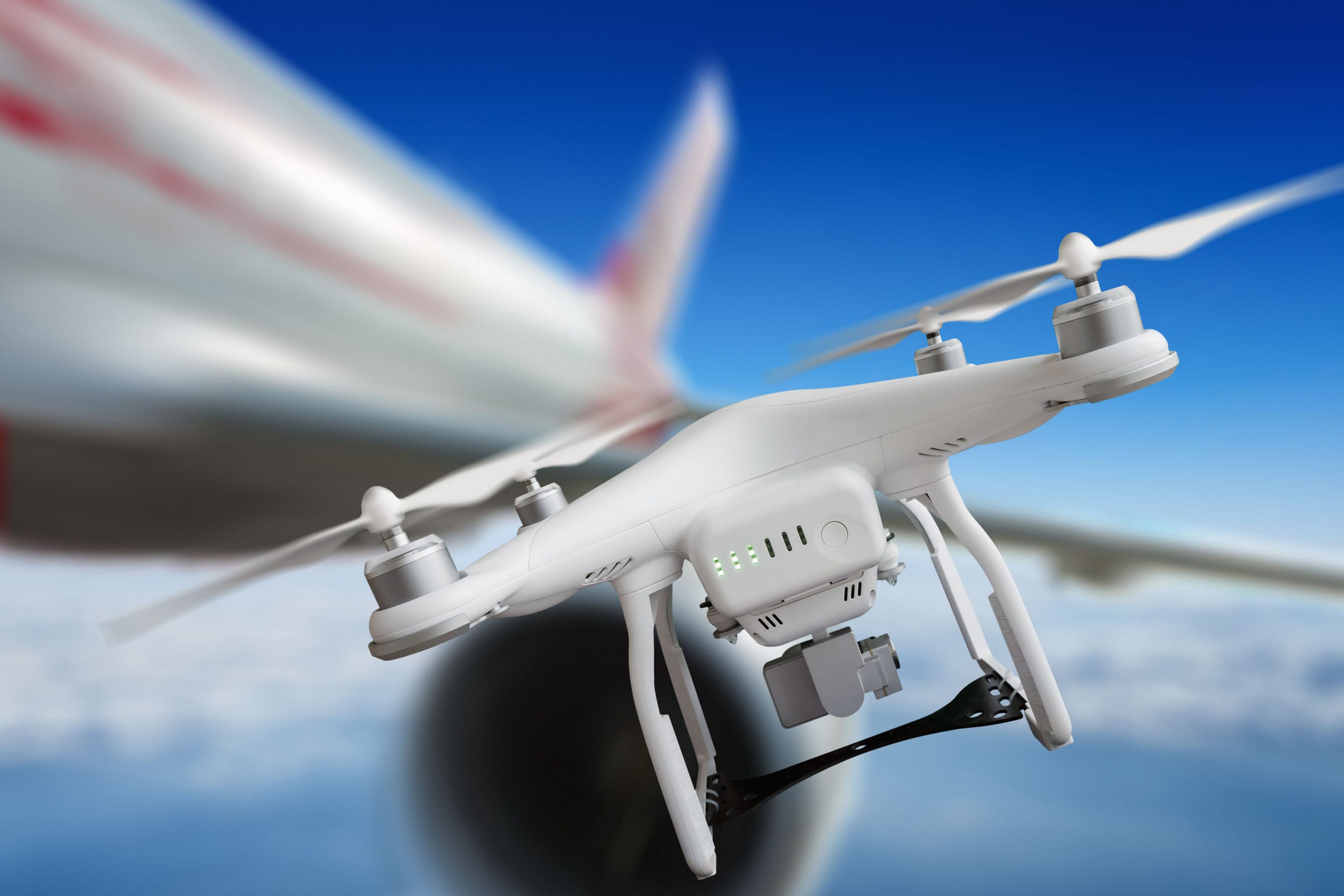
DJI Enhances Geofencing Around Airports
After drone sightings which caused Gatwick, the UK’s second-largest airport, to shut down in the run-up to Christmas, grounding hundreds of flights, several anti drone technologies are being activated.
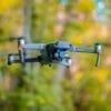
While both Gatwick and Heathrow airports have purchased their own anti-drone systems in the wake of the disruption, drone manufacturing giant DJI has announced a new system-Geospatial Environment Online (GEO) 2.0 and will be rolled out a in 32 European countries this month to prevent its drones entering airport flight paths.
DJI’s state of the art geofencing GEO 2.0 system will be implemented into drones’ GPS systems, using complex shapes and three-dimensional “bow tie” zones around runways of 19 new countries, as well as the 13 that already had existing geofencing systems in place. Estonia, Croatia and Greece are among the new countries to be added to the system, which already counted Germany, France and the U.K. among its members.
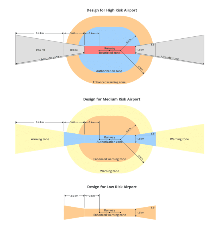
The (GEO) 2.0 system uses three different sizes of exclusion zone, depending on the size of the airport. The geofence includes an “Altitude Zone” at both ends of the airport along with restricting flights in an oval around the runway itself. The GEO 2.0 also provides capability to designate airports as low, medium and high risk, each of which provides differing limitations in range and altitude.
- GEO 2.0 applies the strictest geofencing restrictions to a 1.2 kilometer (3/4 mile) wide rectangle around each runway and the three-dimensional flight paths at either end, where airplanes ascend and descend.
- More flexible geofencing restrictions apply to an oval area within 6 kilometers (3.7 miles) of each runway. This bow tie shape opens more areas on the sides of runways to beneficial drone uses, as well as low-altitude areas more than 3 kilometers (1.9 miles) from the end of a runway, while increasing protection in the locations where traditional aircraft actually fly.
- The strictest controls – used for highly sensitive airports – will be applied to a 0.75-mile area around runways, as well as three-dimensional areas around flight paths where planes take off and land. At less sensitive airports, more flexible geofencing restrictions will be applied.
The GEO 2.0 update will require users to update the firmware on their drone as well as the companion DJI Go 4 mobile app.
DJI said in a press release that its new boundary areas around airport runways are based on the International Civil Aviation Organization’s Annex 14 standard for airspace safety near runways. DJI also consulted with aviation organizations on ways to enhance geofencing features near airport facilities. DJI’s categorisation of airports is based on airport types, numbers of passengers, operations and other factors, influencing the sensitivity of the airspace around a given location.
The revamped system will be capable of imposing temporary flight restrictions (TFRs) during major events or natural disasters, which will be based on data from regulatory body Eurocontrol. Tech firm Altitude Angel will deliver real-time geospatial data for the geofencing system.
Christian Struwe, DJI’s head of policy, EMEA said, “DJI is eager to ensure that safety remains the top priority as the European drone industry innovates new ways to use drones in exciting and productive ways. Introducing state-of-the-art safety features in even more countries will help the general public and drone operators alike.”
Brendan Schulman, DJI Vice President of Policy & Legal Affairs stated, “DJI is proud to once again lead the industry in developing proactive solutions for safety and security concerns, this is an enormous step forward for safely integrating drones into the airspace based on a more finely-tuned evaluation of risks associated with aircraft approaching and departing different types of airports.”
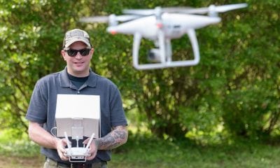
In North America, DJI will use data from PrecisionHawk. DJI has also eased the way in which professional, enterprise and certified operators can request to ‘unlock’ a NFZ area enabling flight, taking just 30 minutes for most cases.
These restrictions combined with technology aim at protecting airspace, manned aircraft and airports and also protect drone operators from accidentally flying into controlled airspace, and more importantly into the path of oncoming aircraft helping make drone flying for enjoyment and recreation a safe hobby,