News
University of Denver Use Drone to Map World War II Japanese Internment Camp
In another instance of a drone helping out with restoration work, a team University of Denver is using drone images to create a 3D reconstruction of a World War II-era Japanese internment camp – Camp Amache in southern Colorado, joining a growing movement to restore U.S. historical sites linked to people of color.
A report by Associated Press details how researchers last week dispatched the drone from the Switzerland-based company senseFly as part of a mapping project for future restoration work too. The effort is part of a growing movement to identify and preserve US historical sites connected to people of color.
Adam Zylka, the senseFly pilot who flew the drone, said that in order to document where barracks, schools and other buildings once stood, the senseFly eBee X drone flew over the 1-sq.-mile (1.6-sq.-km) site and took more than 4,000 images as part of a project.
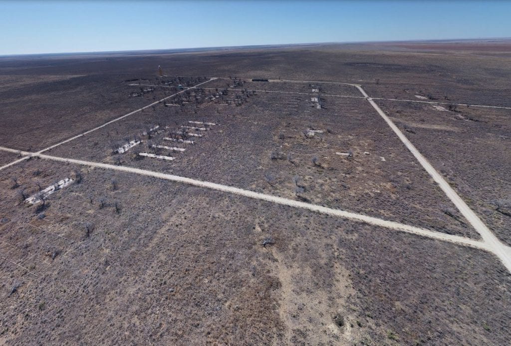
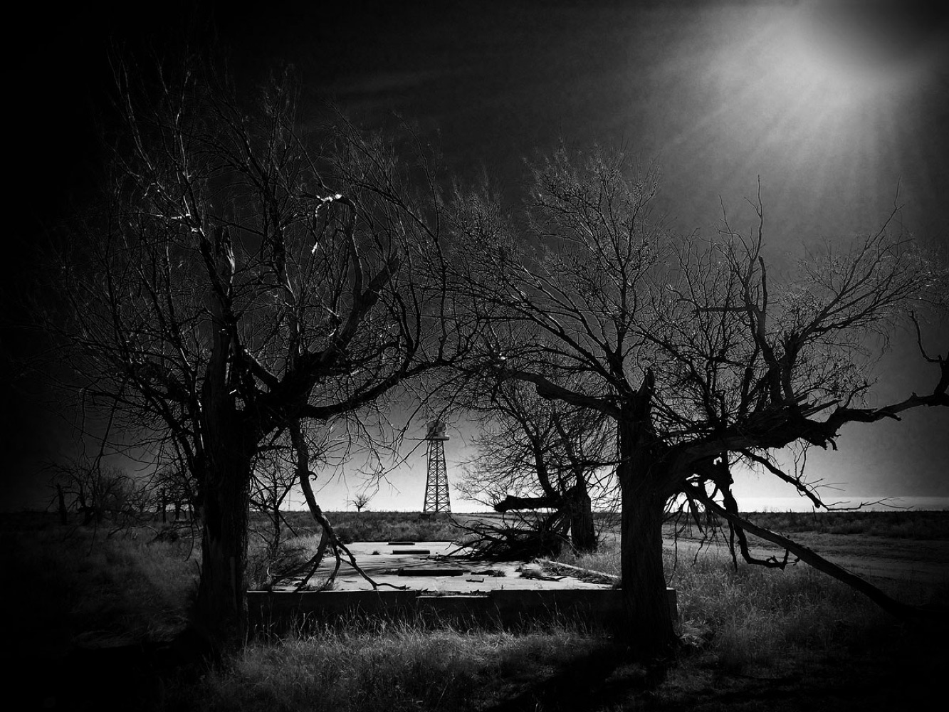
As of now the site has concrete foundations, artifacts, a handful of restored buildings and a cemetery of internees who died at the camp.
Zylka stated that using the information gathered by the drone researchers can almost precisely create reconstructed images for virtual reality and augmented reality apps enabling visitors a virtual experience of what life at the internment camp might have been.
Jim Casey, geographic information system (GIS) specialist with the University of Denver who has been working to create digital maps of Amache says, “You could be standing at the site, looking at nothing for sagebrush and weeds. Then, you can point your Smartphone at the view and see what was once there.” Casey added that after researchers process the new drone data it would also allow people to visit the site virtually too.
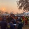
Camp Amache is the site where, more than 7,000 Japanese-Americans and Japanese immigrants were forcibly relocated to from 1942 to 1945. They were among the more than 110,000 Japanese-Americans ordered to camps in California, Colorado, Idaho, Arizona and other sites. At Amache, internees lived in an area next to poor Mexican-American farm workers. They produced a newspaper, tried farming and formed football and baseball teams.
Casey feels that the re-creation of the camp is important for the U.S. to come to terms with this dark period in history. The Amache drone project is the latest example of preservation advocates working to save and restore historical sites connected to black, Latino and Asian American history.
There are more restoration projects in the pipeline- a digital project headed up by Brown University professor Monica Martinez seeks to locate sites connected to racial violence along the Texas border with Mexico. Some of the sites she and other researchers have identified have resulted in historic markers documenting acts of violence against Mexican Americans from 1900 to 1930.
Advocates also are working to restore the birthplace of civil rights leader Dolores Huerta in Dawson, New Mexico. The old mining community there is now a ghost town and with not even a marker commemorating Huerta’s connection to the area.