
All posts tagged "3D"
-

News
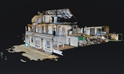
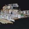
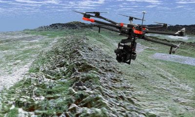
Saving Time and Money Mapping Contaminated Houses with Drones
August 7, 20183D scanning and virtual reality increase the quality of environmental monitoring and allows businesses to create...
-
Autonomous
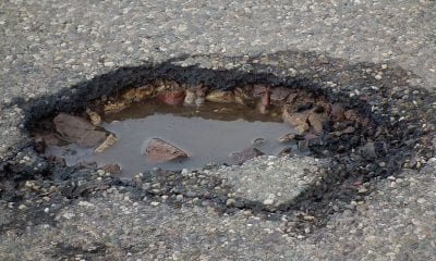
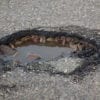
Researchers Develop Autonomous 3D Printing Drones to Fix Potholes
June 25, 2018The problems of road maintenance may be solved in the future, thanks to the use of...
-
LiDAR
Researchers Map the San Andres Fault Using Drones and LiDAR
June 21, 2018Understanding the San Andreas fault is of paramount concern in earthquake-prone southern California, which experiences frequent...
-
Industry
Drone Deploy’s Live Thermal Maps Provide Immediate Insights – But Only for iOS Users
June 13, 2018A first-of-its-kind live thermal mapping feature for drones has been released by drone software company DroneDeploy,...
-
Industry
SimActive Mapping Software for Precision Agriculture Now in Brazil
June 13, 2018SimActive Inc., a world-leading developer of photogrammetry software, is proud to announce use of its software...


Back To Base (B2B)
