
All posts tagged "Photogrammetry"
-

Industry
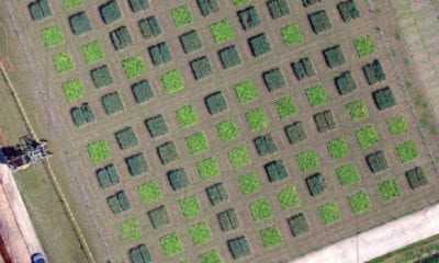
Using Drones to Measure Plant-Soil Feedback Effects on Crop Productivity
July 2, 2019Drones or Unmanned aerial system (UAS) have been used to provide data and analyses in the...
-
News
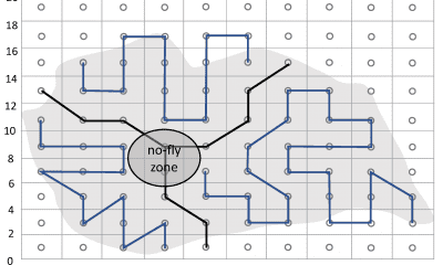
Coverage Path Planning with Drones
January 15, 2019If you are new to coverage path planning, it is basically a science that consists of...
-
News
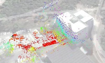
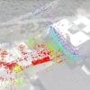
Maintaining UAV Operations When GPS is Degraded/Denied
December 7, 2018Complex environments are nothing new to unmanned aerial vehicles (UAVs), commonly known as drones. In fact,...
-
News
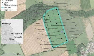
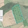
GPS Precise Point Positioning for Photogrammetry via Drone
November 12, 2018Just like many other industries, unmanned aerial vehicles (UAVs) or drones have recently become a popular...
-
News
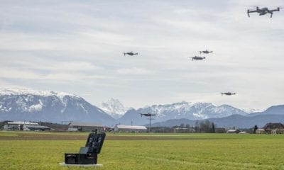
Swarm Technology for Drone Photography Over Large Areas
November 2, 2018Photogrammetric analysis of a flat landscape is quite simple as a drone simply needs to take...

Back To Base (B2B)
