Brazil: Using Drones to Assist Amazon Conservation
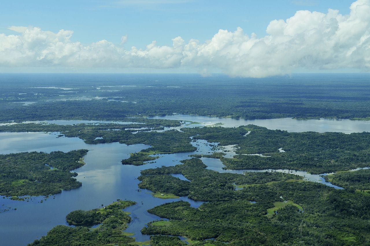
The Amazon rainforest, which covers much of Brazil is the world’s largest tropical rainforest and home to countless numbers of animals, birds, insects and plants.
Keeping it safe from loggers and the like is a massive job, and one that can now be made easier with the assistance of drones.
The Inspection Coordination (COFIS) of the Chico Mendes Institute for Biodiversity Conservation (ICMBio) is preparing for a drones test phase to find ways of doing this.
In the coming months, the team, led by coordinator André Alamino, they will explore how three models of the so-called unmanned aerial vehicle can contribute to the management of protected areas – especially those in the Amazon. The plan is to approve an internal regulation so that the equipment can begin to be officially used in 2019.
From the time he was at the head of the Humaitá National Forest in southern Amazonas, Alamino felt the need to incorporate technologies that modernized the surveillance of protected areas, ensuring more efficiency and safety for the agents.
“Thanks to high resolution and infrared cameras, drones are capable of recording images at any time of the day without a team of ten needing to move to the location,” he explains.
Currently, to confirm the suspected location of a logging or prospectors camp, for example, may require the chartering of an aircraft.
But flying over an area creates high costs and still alerts criminals. Quiet and discreet, the drone is an ideal tactical support for such operations, particularly in the Amazon.
With the possibility of Amazon Region Protected Areas (ARPA) program consolidating more than 60 million hectares in the biome by 2020 – an area equivalent to that of Spain and Portugal together – unmanned aerial vehicles fit like a glove in the hands of managers and enforcement agents.
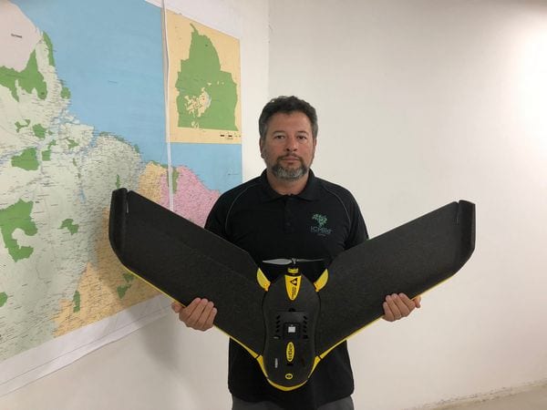
ICMBio Supervision Coordination is preparing to use drones in 2019 mainly in the Amazon | Credit: Getúlio Dutra
It is not by chance that, some years ago, the technology began to be used in several regions of Brazil. Alamino says that the equipment usually arrive through environmental compensation, donation, or are purchased by the pilots themselves. “They are independent, decentralized initiatives,” he says.
This is the case of Rafael Xavier, who is part of the test team.
Involved with model aeroplanes for more than 20 years, the COFIS environmental analyst began to take his drones to the field in 2011, when he was still an IBAMA pilot.
In Rio Grande do Norte, he used a quadcopter in geoprocessing. In Minas Gerais, he used the device to monitor the tracks of the Serra do Cipó National Park and also recorded the damages caused by fires and the rupture of a dam at APA Morro da Pedreira.
With these experiences under his belt, Xavier was responsible for drafting the internal regulations of the ICMBio for the use of drones, which is still in the approval phase. “There, the pilot will find guidelines on the most appropriate models for each application, rules for the maintenance and storage of equipment and requirements of ANAC and ANATEL,” he explains.
With ARPA resources, three UAVs were acquired for the test phase. The fixed wing, which resembles a small plane, comes with two multifunctional cameras whose sensors make it ideal for mapping activities.
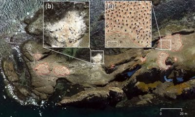
The two quadcopter units come with an ultra-HD and infrared camera, and they are particularly useful: in addition to tactical use in surveillance operations, they can hover over forest fires and send real-time information that guides firefighting teams. In addition, they are useful in calculating the volume of deforestation wood – which to this day is still manually done.
The package purchased for testing also includes a high-performance notebook. It will have the function of controlling the drones during the experiments, processing the images obtained and running the pilot simulators used in the training.
After the testing phase in Brazil, pilots that work in the Amazon’s CUs will be invited to attend intensive training. With some of the devices costing up to $R50,000 (about $AU17,525), the training will be mandatory for those who want to operate them.
In the case of units that can not train their employees, there will be the possibility of requesting missions to the ICMBio, which, in turn, will send experienced pilots with the most appropriate equipment.
The area cut by BR-163 highway is a priority, due to its history of deforestation and violent conflicts with loggers and prospectors. The Cachimbo Biological Reserve and the Jamanxim National Park in Pará are expected to be the first to receive training and field tests.