News
Analysis of mapKITE – New Drone-Based Concept for Geo-Data Acquisition
The legal frameworks of unmanned aerial vehicles (UAVs), also known as drones, is quite extensive. However, with the rise of technology, even this framework fails to comply to specific systems, technologies and applications.
mapKITE – A Geodata Acquisition System Consisting of UAV and TV
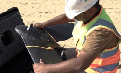
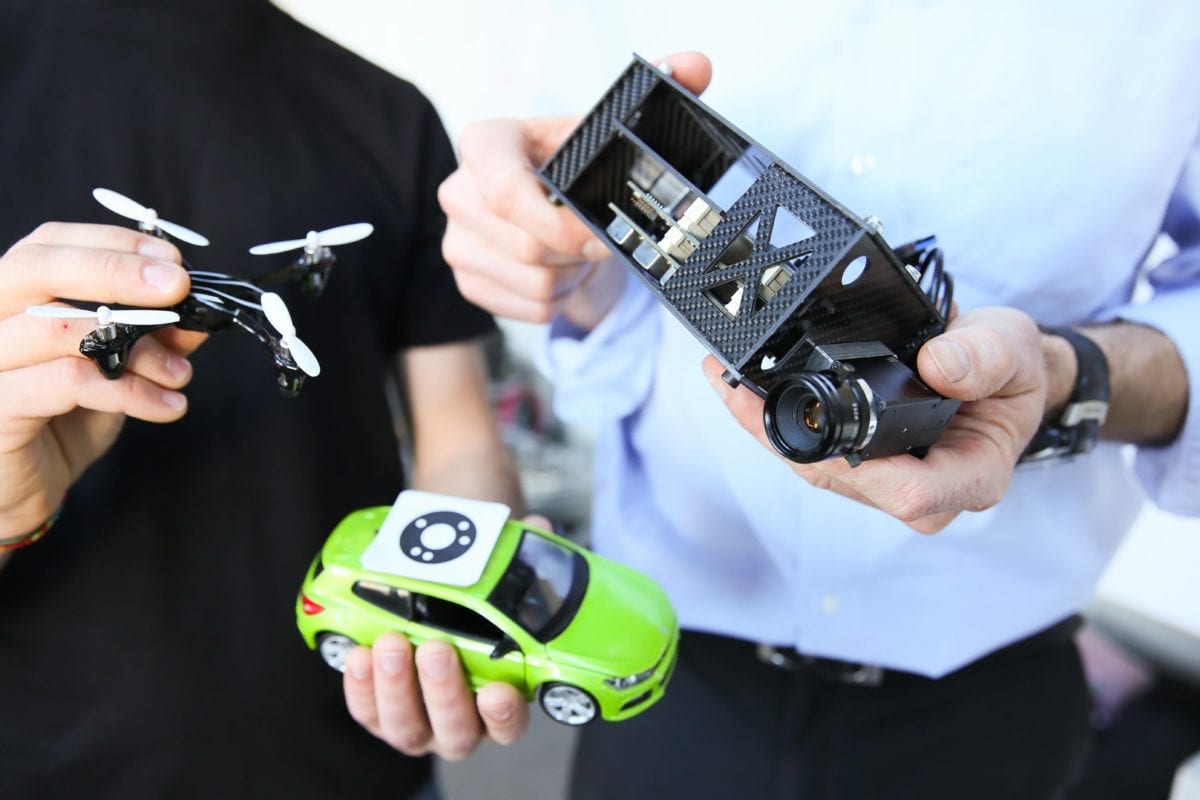
One of such systems is mapKITE – a patented application with some special characteristics to other drone applications – mainly being a geodata acquisition system that consists of an unmanned aircraft and a terrestrial vehicle.
As one paper describes mapKite, it is:
“a new mobile, simultaneous terrestrial and aerial, geodata collection and post-processing method: mapKITE. By combining two mapping technologies such as terrestrial mobile mapping and unmanned aircraft aerial mapping, geodata are simultaneously acquired from air and ground. ”
However, this article is focused on a specific thesis which aims on analyzing the new regulatory frame for the system known as mapKITE. Knowing that mapKITE’s main advantage is the combination of TMM and drone data, it uses a terrestrial vehicle and a drone to perform corridor mapping in different types of terrain such as railways, roadways, waterways including cliffs and coasts.
Thesis Aims to Help mapKITE in its Development Phase
A new master thesis submitted by Marc Rabella Sueiras analyses this case and has an aim to help GeoNumerics (the company behind mapKITE) to complement the original project with the further development of the parts in which they have less knowledge. On top of this, the author uses his recently acquired capacities in a drone project as a contribution towards mapKITE’s development.
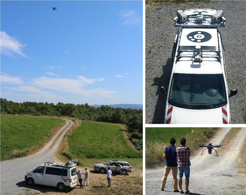
Image Credit: mapKITE
As such, the thesis has a clear objective of developing a regulations study that would be focused on mapKITE and contributing to the Ground Control Station (GCS). The regulations study is a really important part for every drone project, according to the author. As he explains in the thesis:
“The regulations study is a really important part for every drone project, because nowadays the UA regulatory framework is changing a lot in all countries due to the market’s continuous growth. In mapKITE’s case it is more important because of its special conditions or characteristics like the ‘follow-me’ capability.”
Despite its Enormous Potential, mapKITE Has Limitations and Legal Challenges
As a project that embodies many innovative ideas and represents a new type of mapping concept, mapKITE excels when it comes to mapping. It maps areas more specifically with companies and institutions as its end-users. However, it seems like the company behind it needs help around the regulatory side of things – and there are a lot of legal challenges, as outlined by the author of this thesis.
“The principal legal challenge for mapKITE is the fact that one has to drive the drone from a car or any other moving vehicle. A second legal challenge is to be allowed to fly over other vehicles or infrastructures, a very restricted measure until now. The third legal challenge is the possibility of driving the UAV manually by a certified drone pilot from within the moving vehicle.”
The author of this thesis also consults experts in the field of drone regulation and outlines their opinions regarding the legal challenges. He also goes over the current legal regulation for drone systems within the European Union, Spain, France, Brazil and many other countries.
Steps and Requirements Under Which mapKITE’s Mission Can Be Simulated
As a conclusion, the author outlines the steps through which a mapKITE mission can be successfully simulated. The general conclusion is that a system like mapKITE has a massive societal impact and as such requires proper regulation.
“Generally the conclusions were that they cannot be uncontrolled operations, so some type of control would be defined, that the drones operating like this should have sense-and-avoid systems if they are operating near people and that this airspace should be well-defined but it should be managed because if a ‘more Annexes 41 important’ operation has to cross it, the other ‘less important’ operations should be stopped or paralyzed during its cross.”
For now, mapKITE remains one of the most effective mapping systems that is developed to date – and one of the projects behind which are teams with hopes that the drone traffic will be regulated in the years to come.