Industry
Drones Increasingly Useful in Firefighting
Nature’s fury can bring human civilisation to its knees. Wildfires blackened nearly 8.8 million acres in the United States last year, highlighted in the news by California’s Camp Fire, the deadliest in that state’s history.
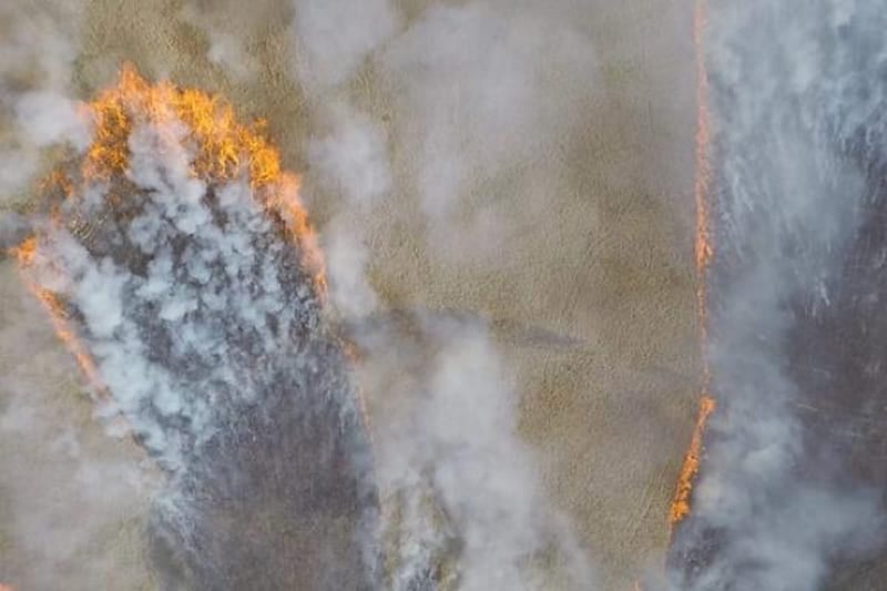
Unpredictable direction and speeds of local winds triggered by the fire can move in unexpected directions with virtually no notice, making it most challenging to contain wildfires. But now, technology is being tested that may help firefighters keep pace with a blaze – increasing their safety and allowing them to better position their limited resources.
Now a project funded by United States Department of Agriculture (USDA’s) National Institute of Food and Agriculture is developing drones to collect real-time data about wildfires, including fire front data and wind data in the wildfire area. The project is headed by Xiaolin Hu, director of Georgia State University’s Systems Integrated Modeling and Simulation lab.
Hu says,“Fires generate heat that can have a major impact on local wind/weather conditions,” adding, “The constant interaction between fire and atmosphere causes dynamic and local changes in wind speed and direction that are not predicted well by standard weather models or expert judgment. The real time data collected by drones can help firefighters by providing fire location and fire spread information – and issue an “early warning” to firefighters if they are in danger.”
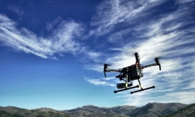
Hu and research partners Haiyang Chao, director of the University of Kansas’ Cooperative Unmanned Systems lab, and Ming Xin, professor of mechanical and aerospace engineering at the University of Missouri, are testing their “KHawk” drone over prescribed fires, and building new drones for autonomous sensing, navigation, and control. Autopilot, thermal camera, and other specialized avionics are some of the features of the new aerial platform.
The drones will perform test flights over prescribed fires ranging from 20 to 300 acres every year until 2022 to collect data on fire propagation and fire generated wind. The team is also seeking opportunities to collaborate with Kansas/Missouri Forest Service to fly over non-prescribed wildfires.
The drones will fly autonomously, given real-time wind/fire data and predicted fire spread information, under the supervision of human pilots and control station operators on the ground.
“The ultimate goal is to support the decision making of fire managers and improve safety for firefighters on the ground,” Hu said. “An important aspect of this project is to develop collaboration where fire managers and firefighters work together with drones in collaborative tasks.”
United States Department of Agriculture (USDA) is the department of the United States government that manages various programs related to food, agriculture, natural resources, rural development and nutrition.

