All posts tagged "Aerial Mapping"


News
Swarm Technology for Drone Photography Over Large Areas
November 2, 2018Photogrammetric analysis of a flat landscape is quite simple as a drone simply needs to take...


Brands
Skycatch Edge1 Self-Positioning Commercial Drone Now Available Worldwide
October 31, 2018Skycatch has announced the first-of-its-class, on-premise data processing and GNSS base station, the Skycatch Edge1. Manufactured...
News
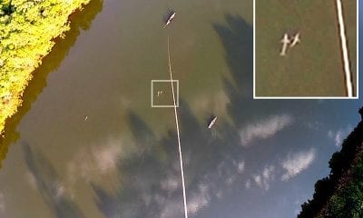
Aerial Surveys for (Improved) River Dolphin Monitoring
October 30, 2018Threatened species conservation is a hot topic nowadays – and obtaining the right estimates in order...


News
Aeromapper Talon Drone Now Lands on Water
October 25, 2018Some early aircraft took landing on water as a primary landing strategy rather than landing on...


Brands
Meet the Phantom 4 RTK, DJI’s Phantom Drone Revamped
October 16, 2018Specialised drones have made the task of surveying construction sites easier and cheaper. Now, DJI the...

